
This trip report is intended to be a nugget of information on how to more confidently enjoy the Cashews River. As you may notice, the name of the river in this blog is slightly altered to protect it from getting overcrowded by ‘lower 48’ google search engine explorers, -that way it can be a better wilderness experience for the few that do know about it (-you! the reader). For the wilderness savy it should be no difficulty finding which river I am really talking about.
Prior to testing the waters for ourselves, I had just two pieces of beta to go off of: an Ed Plumb video on youtube, and a photography website with helpful photos. I gathered that it was probably a class 3 river with two canyons to stop and scout at. With a good forecast, and a good team assembled, we did the float, and some peaks along the way, and I now have some things to share that might help future floaters of the beautiful Cashews River. I also have this cool video to contribute:
Pro’s of the Cashews River
- For just 10 miles and 3000′ elevation gain, you get 30 miles of floating.
- It is insanely beautiful.
- Cost. Brooks Range traverses typically cost an arm and a leg in plane flights. From Fairbanks, this trip is just ~$100 per person in gas (with 3-4 people).
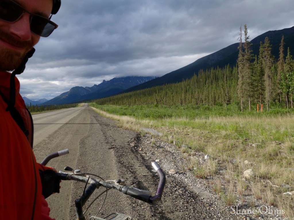
- Easy logistics. It just takes a good 4-wheel drive vehicle and driver, and a bicycle for the shuttle.
- Get good weather. Unlike chartered Brooks Range flights where you need to reserve flights months in advance and have no guarantees on what the weather will be like when your date comes: With the Cashews River, you can bail before it begins and do something else if the weather isn’t looking optimal.
Con’s of the Cashews River
- This float trip has a committing and serious backcountry nature: The hike in is simple and efficient, but once you start floating, the topography between you and the road does not present any good options for hiking out. You do not want to have an accident.
- June. You want to do this trip in June when spring snowmelt increases the flow and enables you to put-in earlier. Doing this trip in later months might make you have to hike further downstream in order to reach floatable water levels.
- Mosquitos. Any Brooks Range trip should expect this caveat (and always bring a bug headnet). On this trip however, the mosquitos were pretty bearable. I have found that July is the worst month for the Brooks Range in terms of Mosquitos.
June 15th, 2023
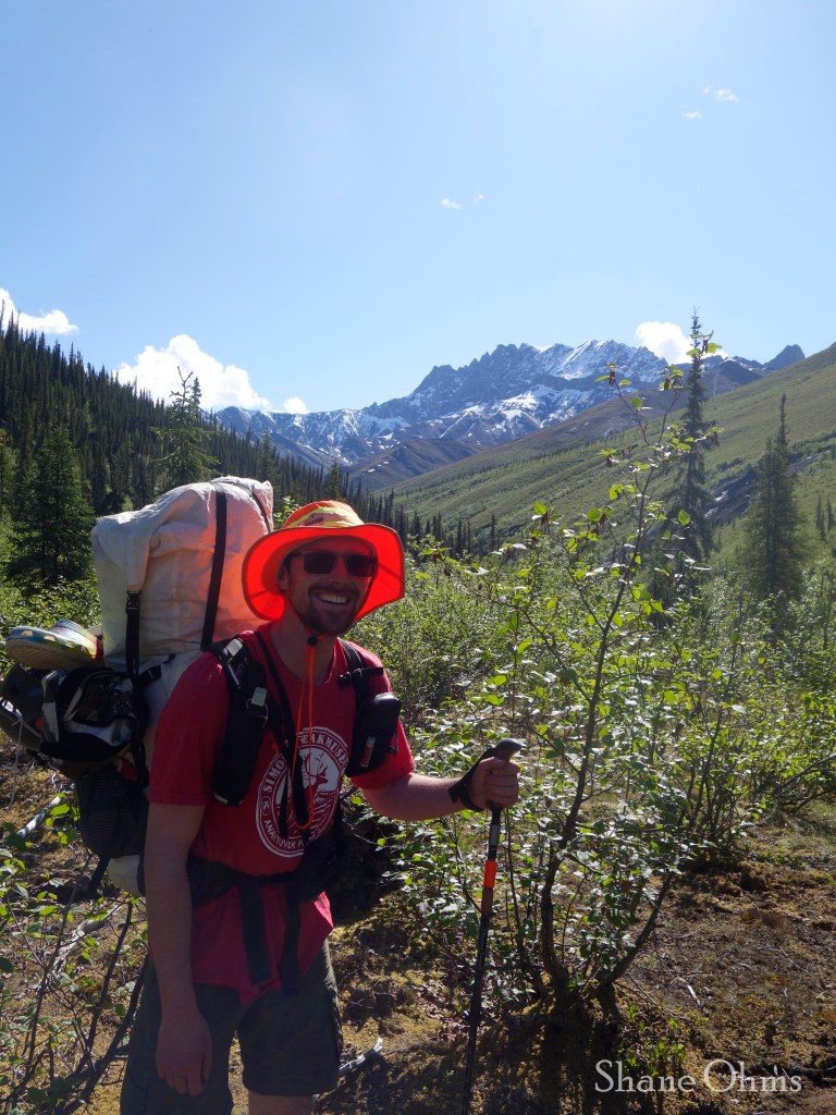
After getting off from work I met up with Curtis Henry, Sean Marble, and Sophie Tidler and began the drive north. We only got as far as Finger Mountain because Sophie thought she lost her phone at the Hilltop Truck Stop gas station so we made a U-turn to search for it (the phone would be safely found at the end of the trip, where it was left; at the carpool house).
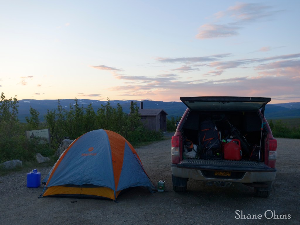
It turned out that Finger Mountain is an excellent car-camping location when it is buggy, because it is situated at the top of a hill, thus offering somewhat of a breeze.
June 16th, 2023
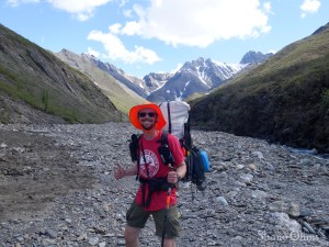
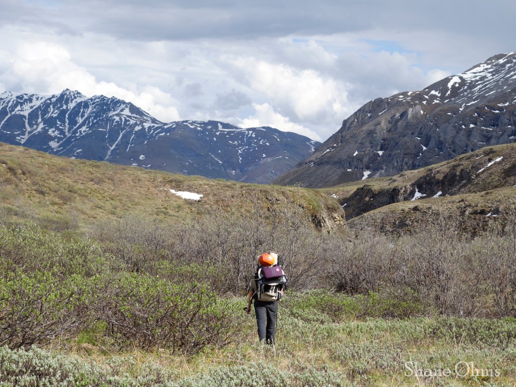
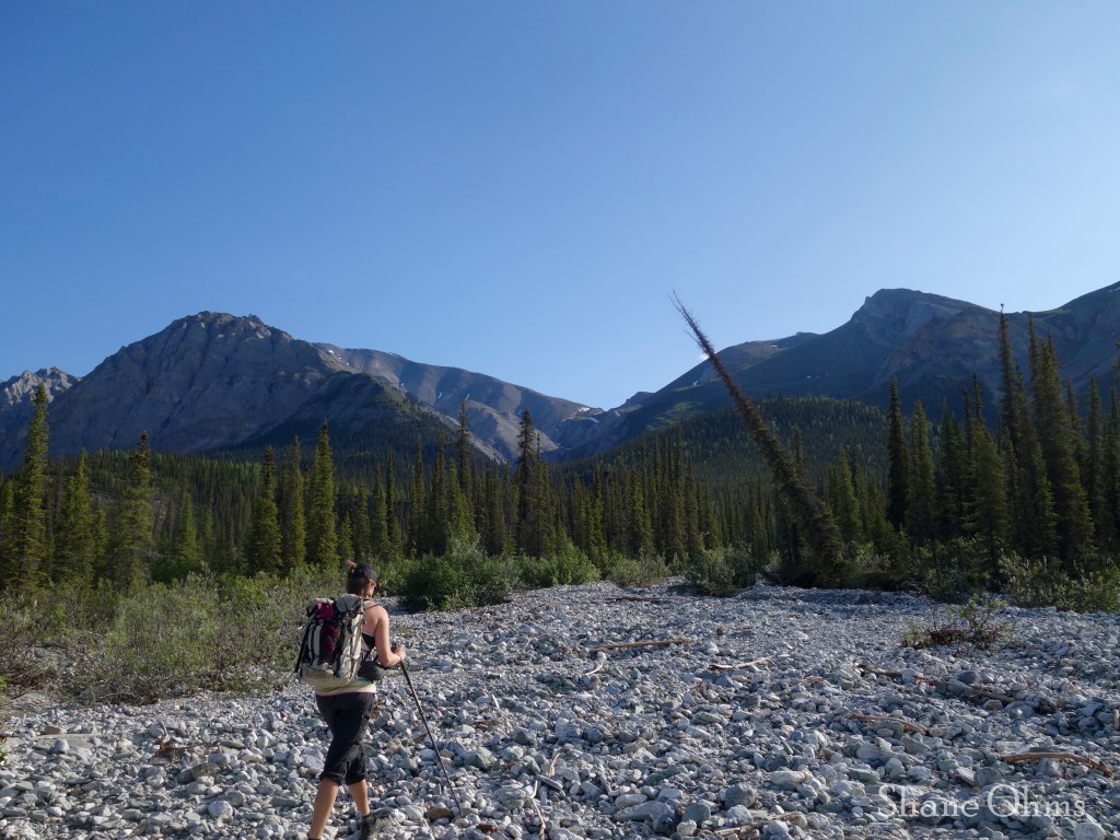
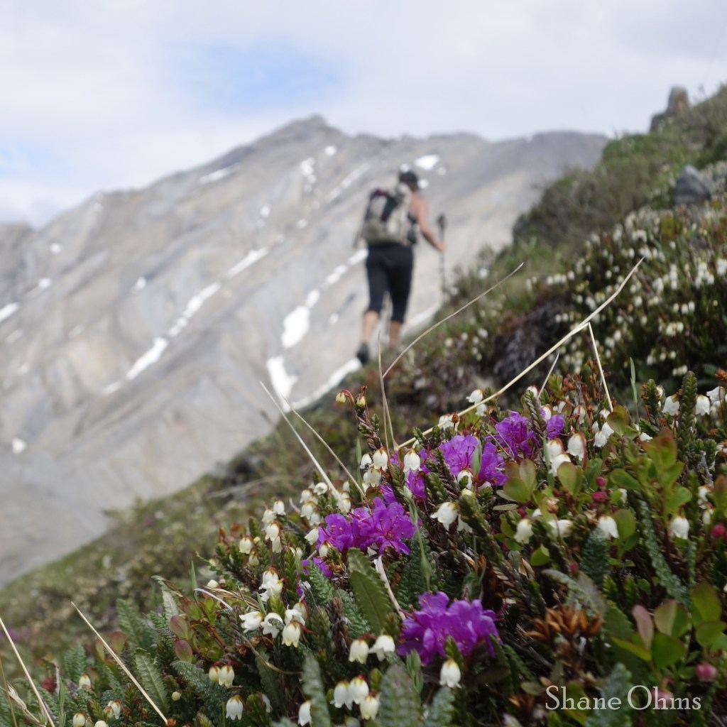
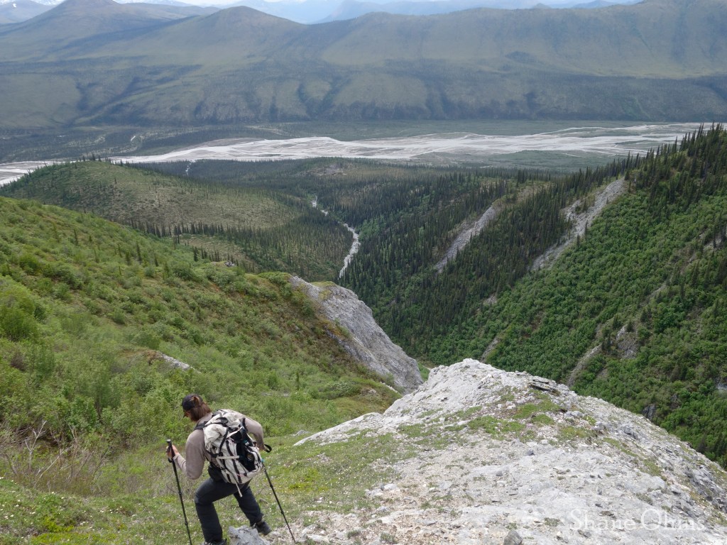
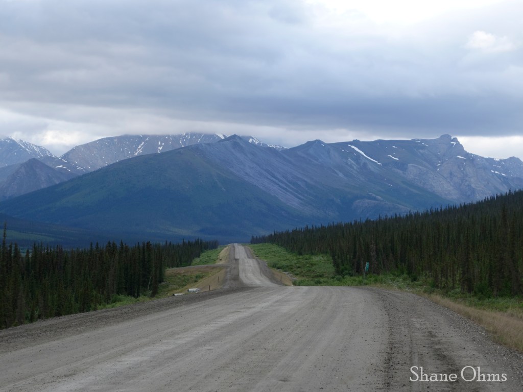
After some breakfast in Coldfoot and stashing the shuttle bicycle at our take-out point, we arrive at our ‘trailhead’; a small pull-out where the unnamed creek that drains the north face of Snowden Mountain crosses the Dalton Highway. We then began hiking up this unnamed creek, largely sticking to its north bank. There was no serious bushwhacking involved.

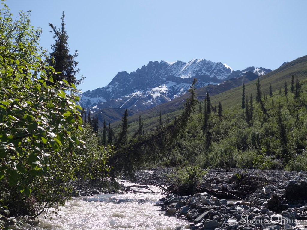

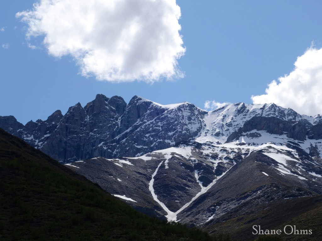
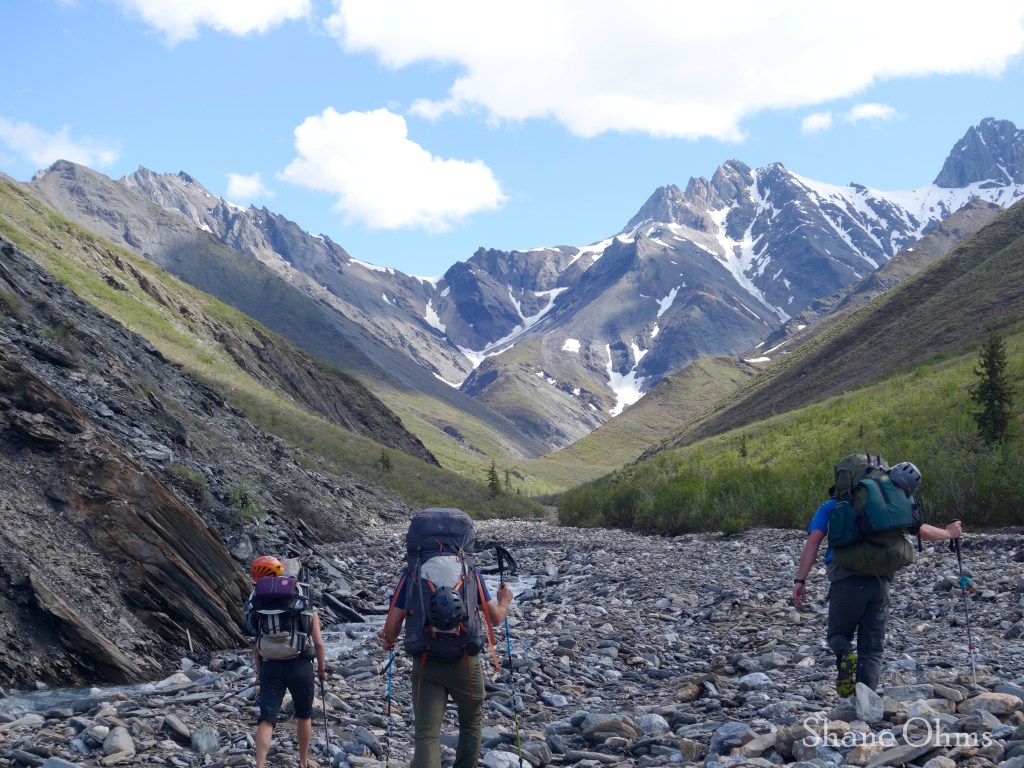
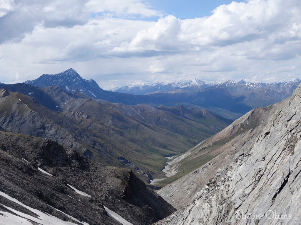
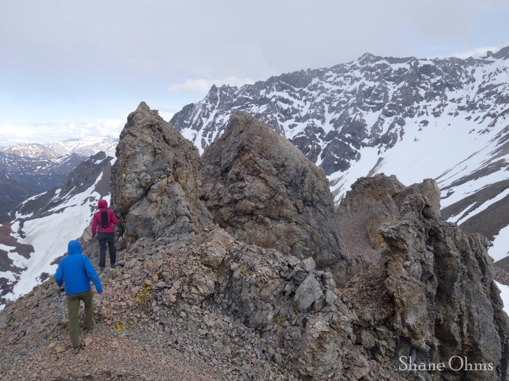
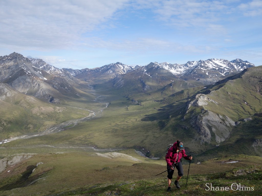
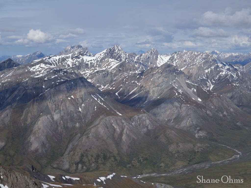
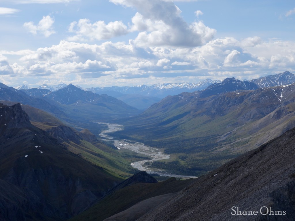
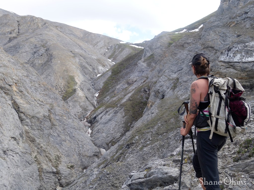
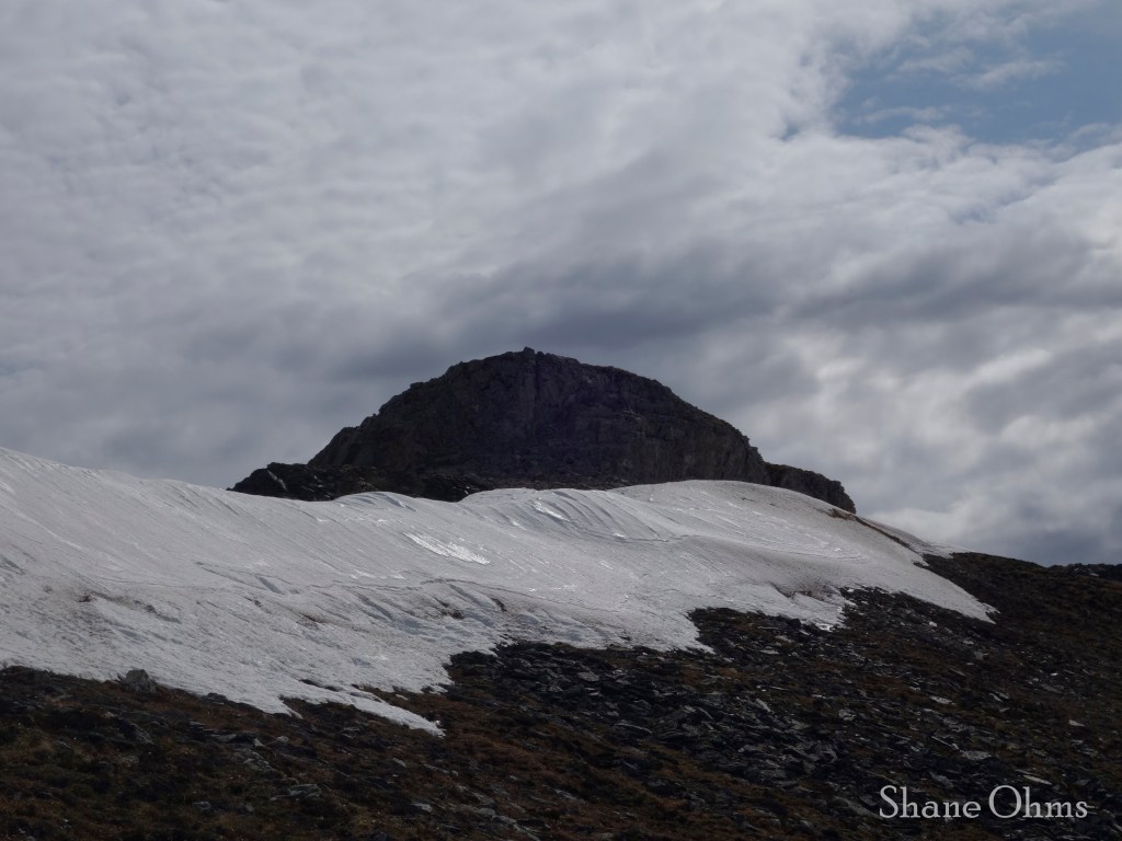
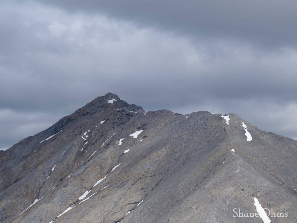
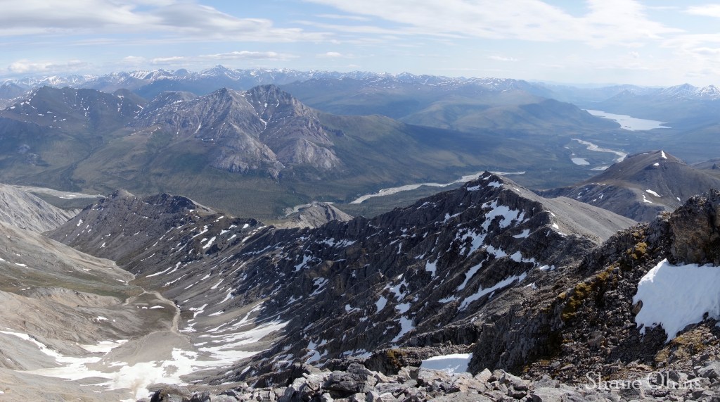
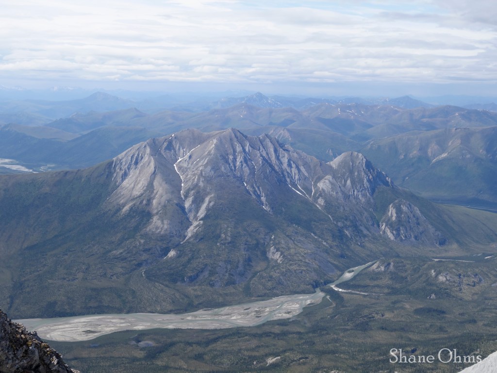
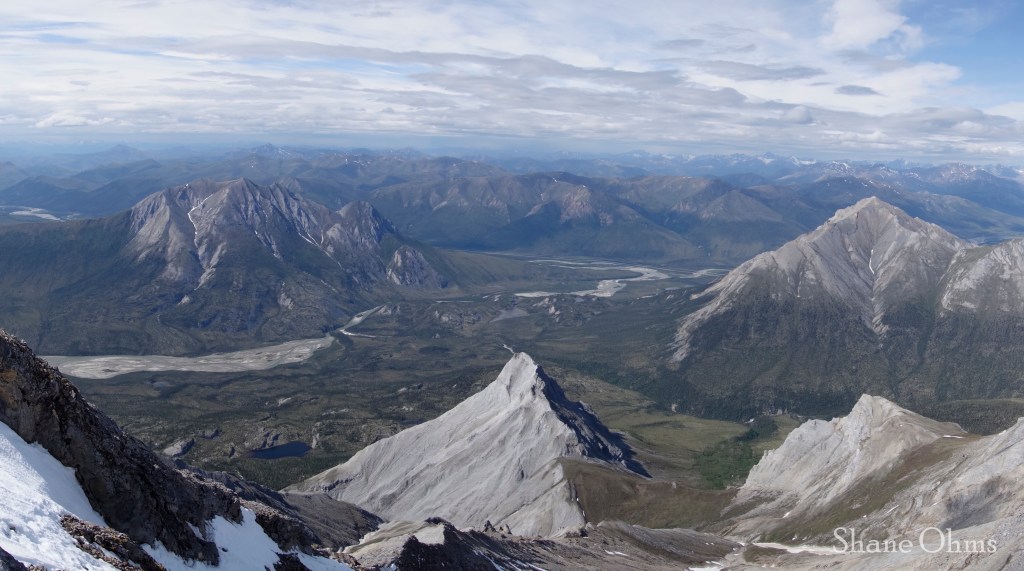
The goal of this first day was to get over the 4700′ pass that is south of Peak 5295 and north of Snowden Mountain. The creek became a snowfield, then a scree-field. The snow was great and the scree was scree. Compared to a lot of terrain typically tackled by packrafters in the backcountry, getting to this 4700′ pass is a walk in the park. The views of Snowden’s north face kept us in awe the entire way.

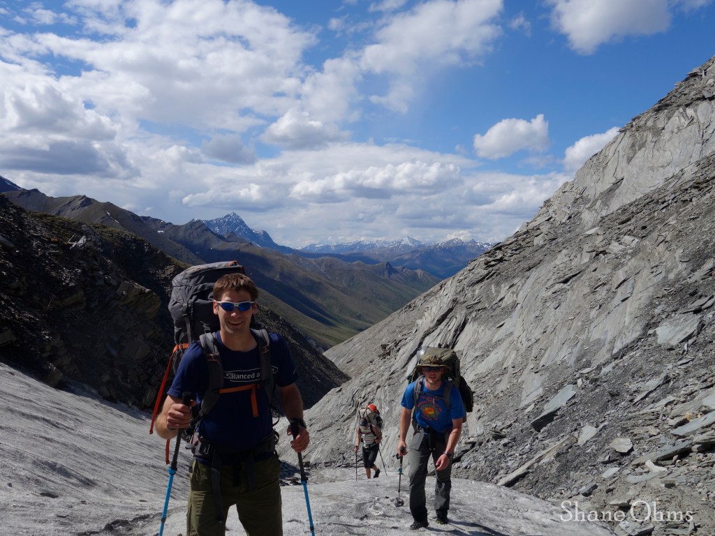
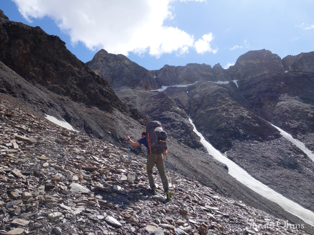
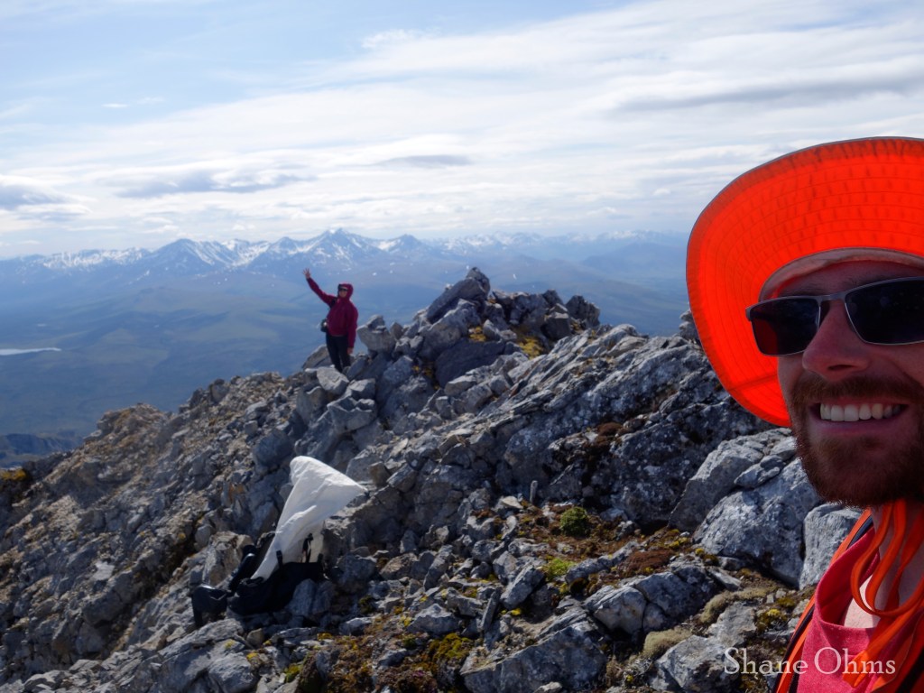
We arrived at the pass at 2:30pm and happily slid heavy packs from our shoulders to make a quick side-trip to the summit of Peak 5295.
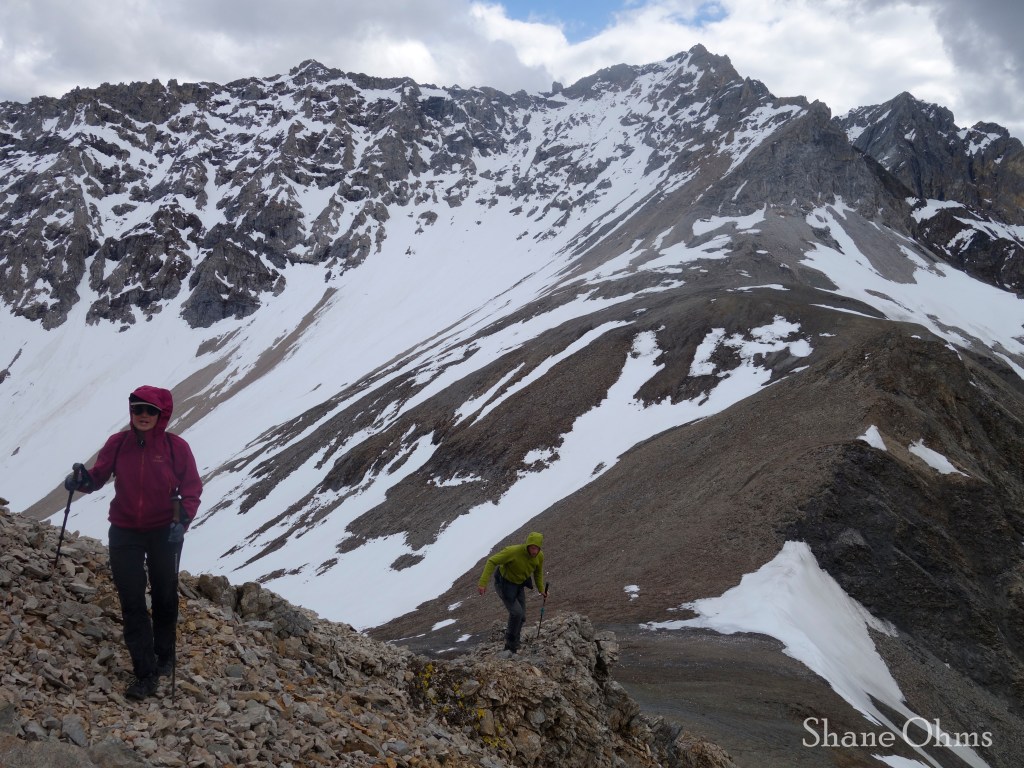
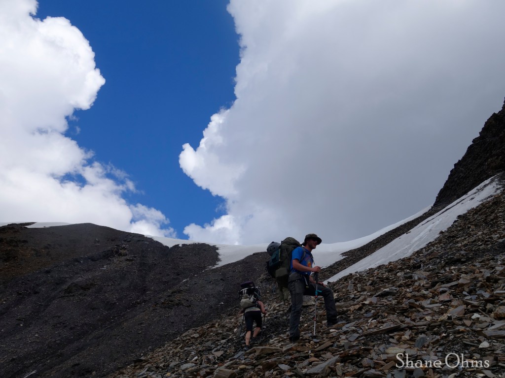
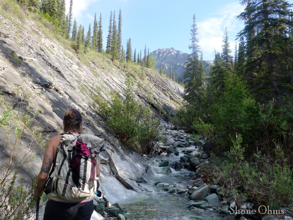
Back at the 4700′ pass, we were met with a brief sprinkle, but what really got us wet was post-holing down the isothermal snow to reach the Cashews River headwaters.
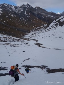
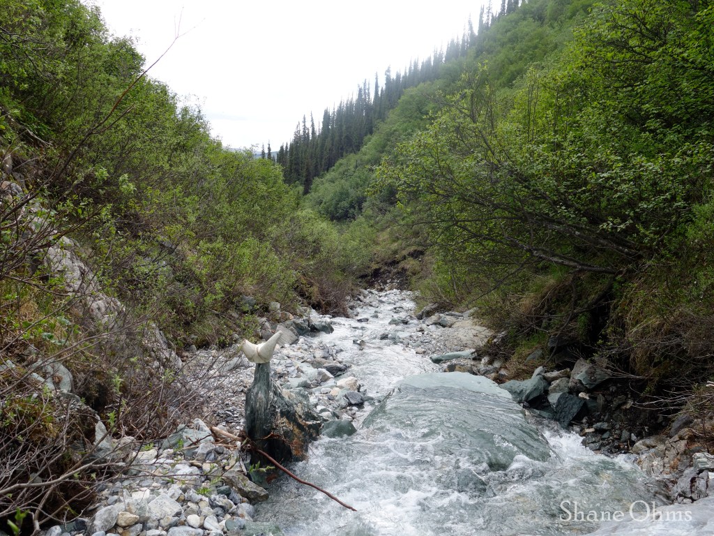
We hiked along the river until it had enough water to float. I had a smaller boat (Alpaca’s whitewater refuge) with less bouyancy, so I was a bit grumpy about the amount of butt-drag. But in retrospect it was fine and saved us from quite a bit of walking.
Flow is usually higher at the end of the day (when snowmelt run-off is at its peak), so it makes sense to float downriver on Day 1 (even if for just a few miles), because on day 2 you will wake up to a lower water-line than when you went to bed, but you’ll still want to have enough to resume floating.
June 17th, 2023
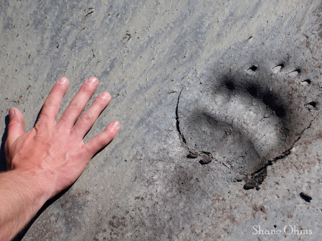
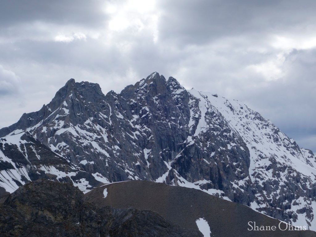
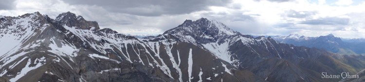
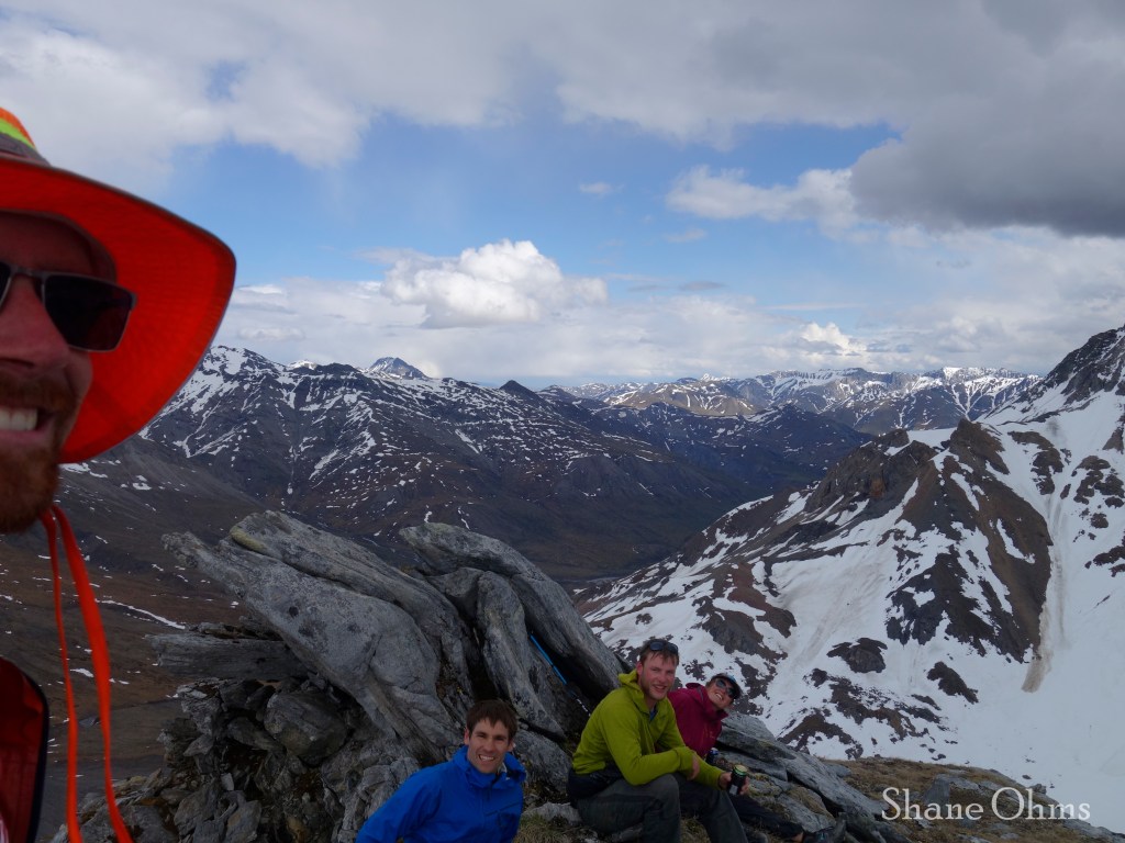
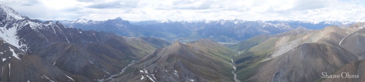
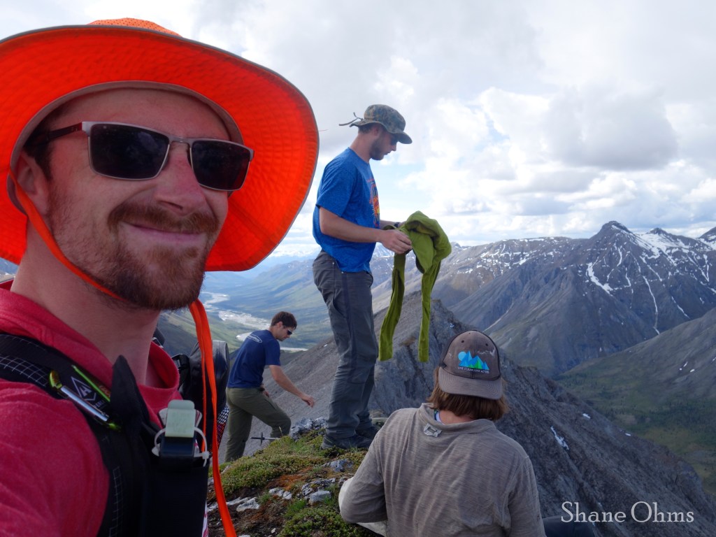
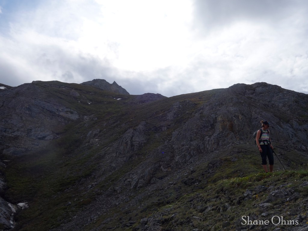
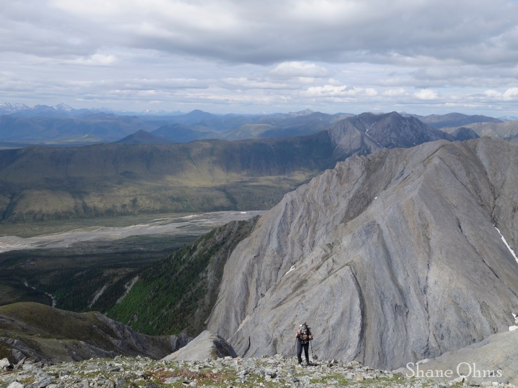
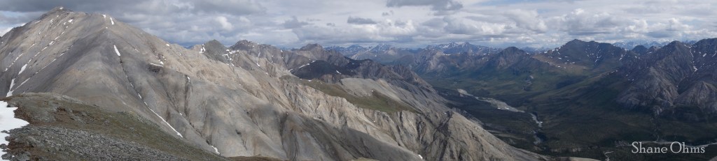
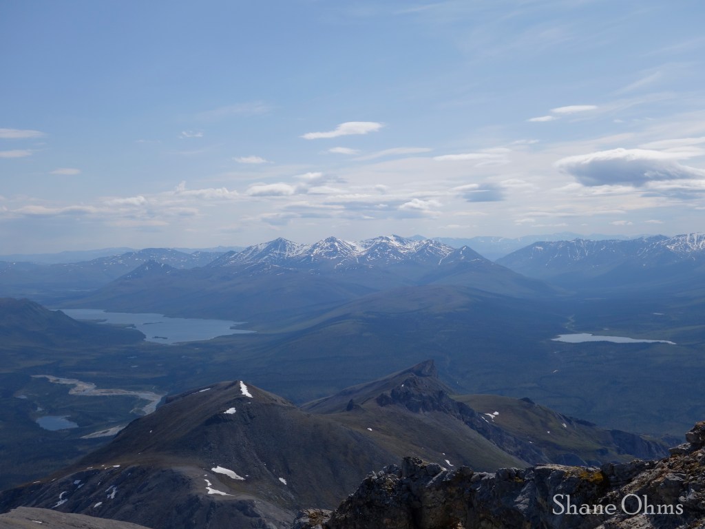
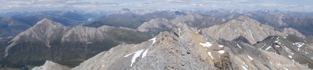
We woke up on Day 2 and set out for a day-hike above camp up Peak 5710 and Peak 4605. We saw a brown bear a little ways off on the hillside, who took off running like a good bear. I hoped it wouldn’t eat our food (or rafts) back at camp. It didn’t, yay!

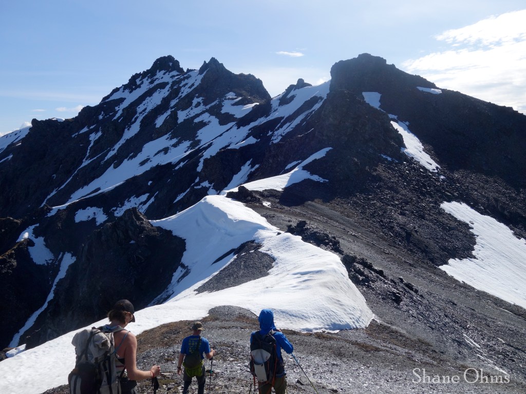
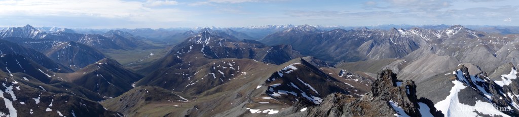
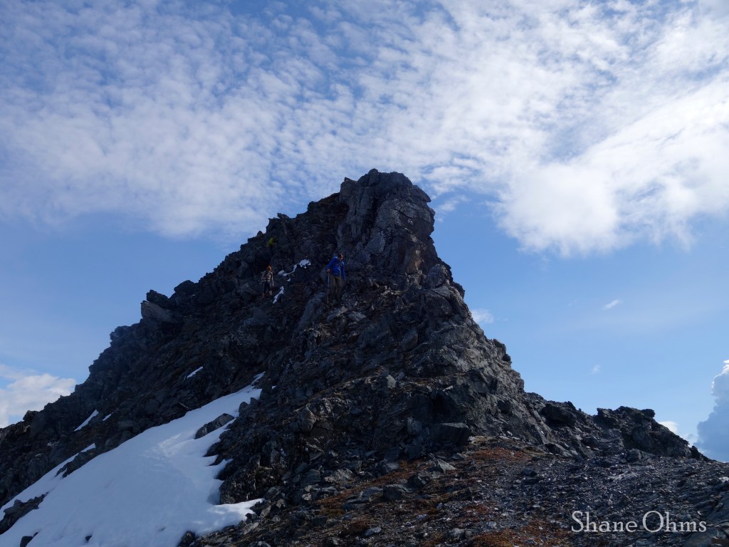
We went for Peak 5710 first, which had a taste of scrambling for its final bit. We summited at 9:15am and the views were great.

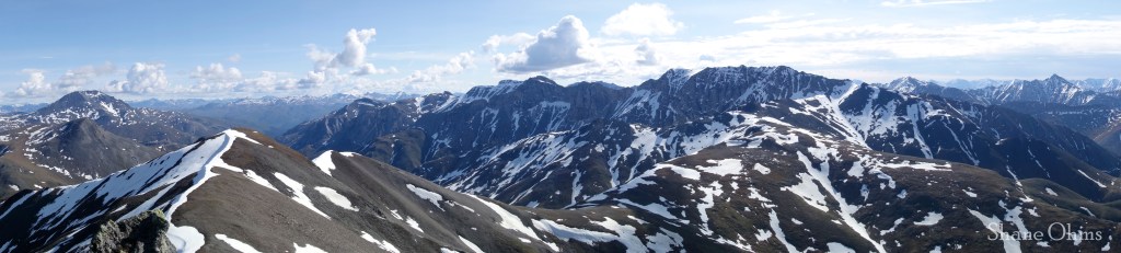
Peak 4605 was a simple walk-up on some switch-backing sheep trails.
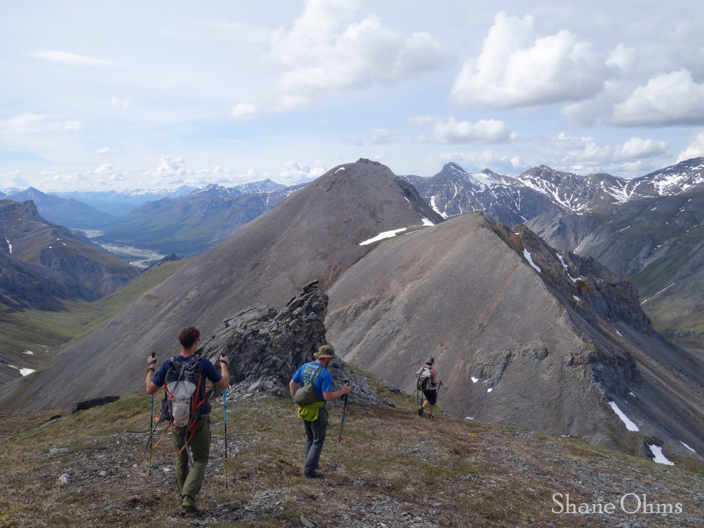

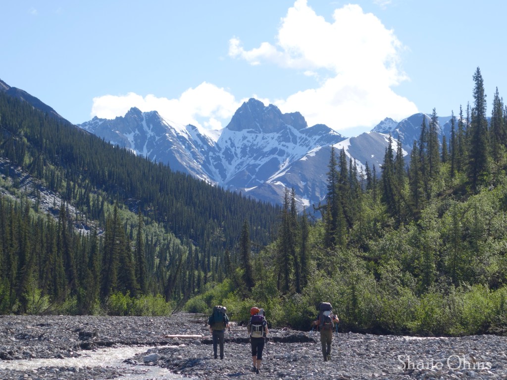
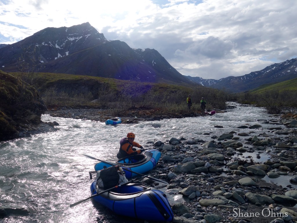
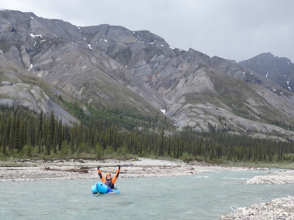
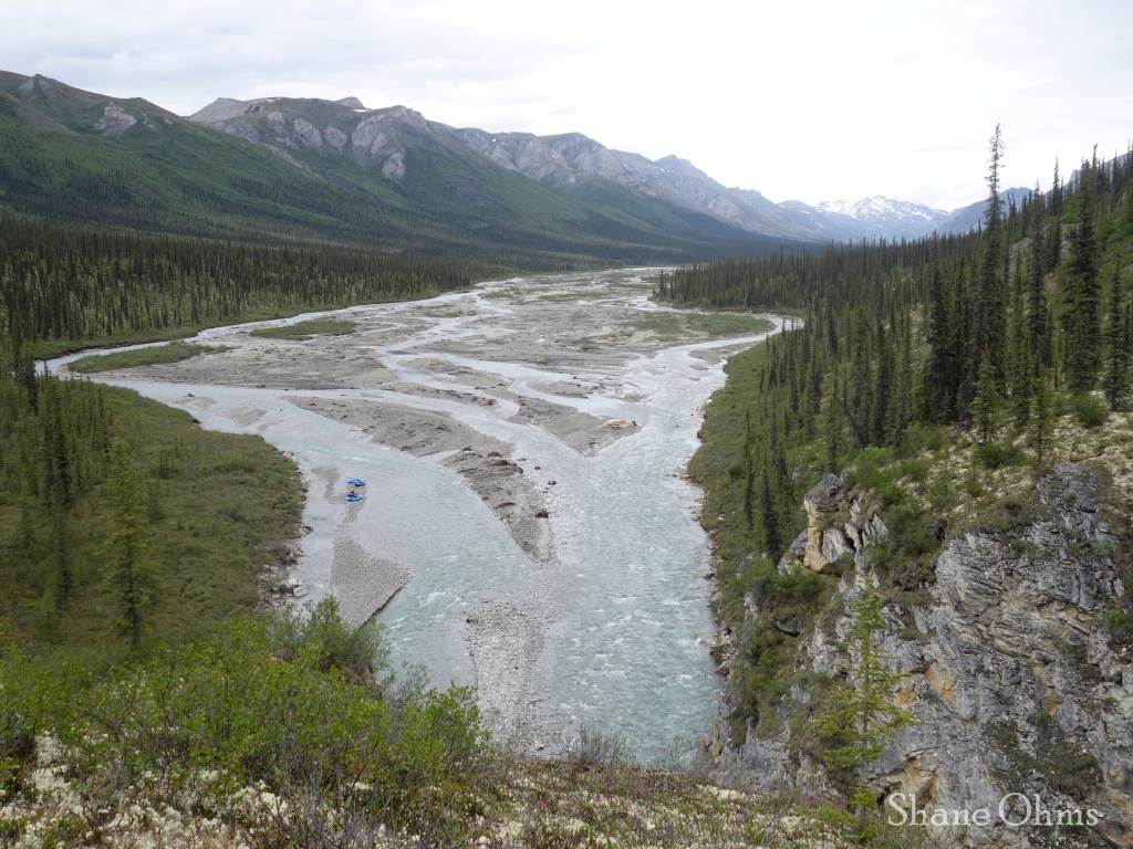
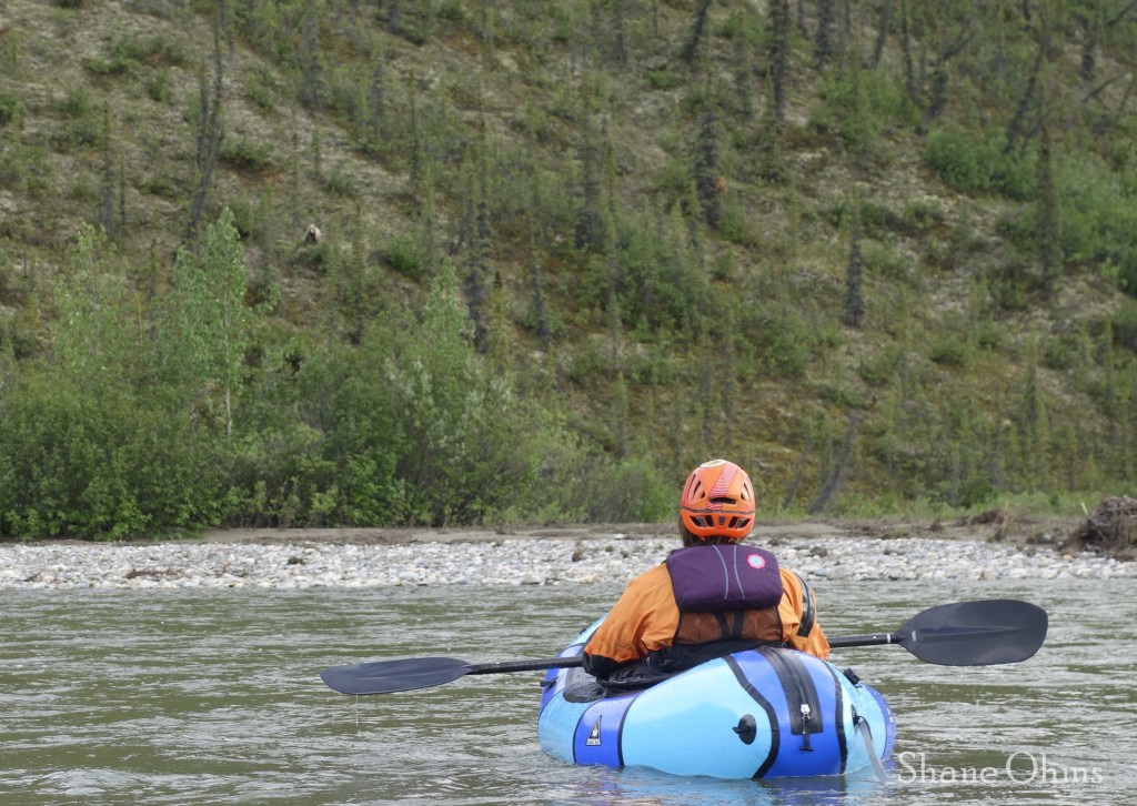
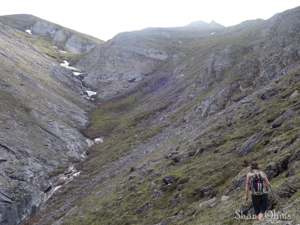
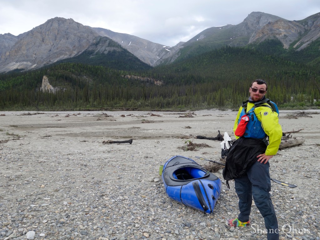
We descended to camp, loaded our rafts, and were moving on down the river by 1pm. The river was very tame and simple with the exception of it’s two canyons.

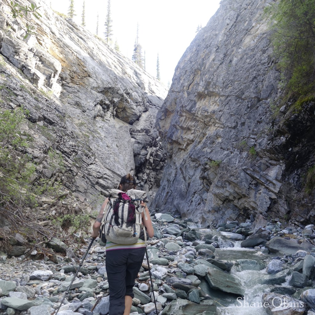
The Canyons of the Cashews River
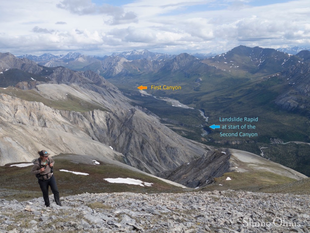
First Canyon
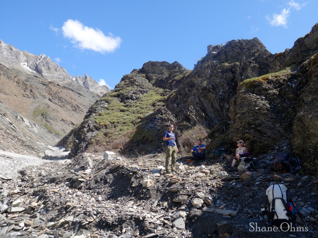
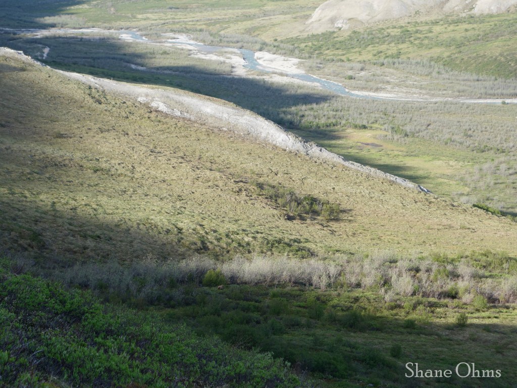
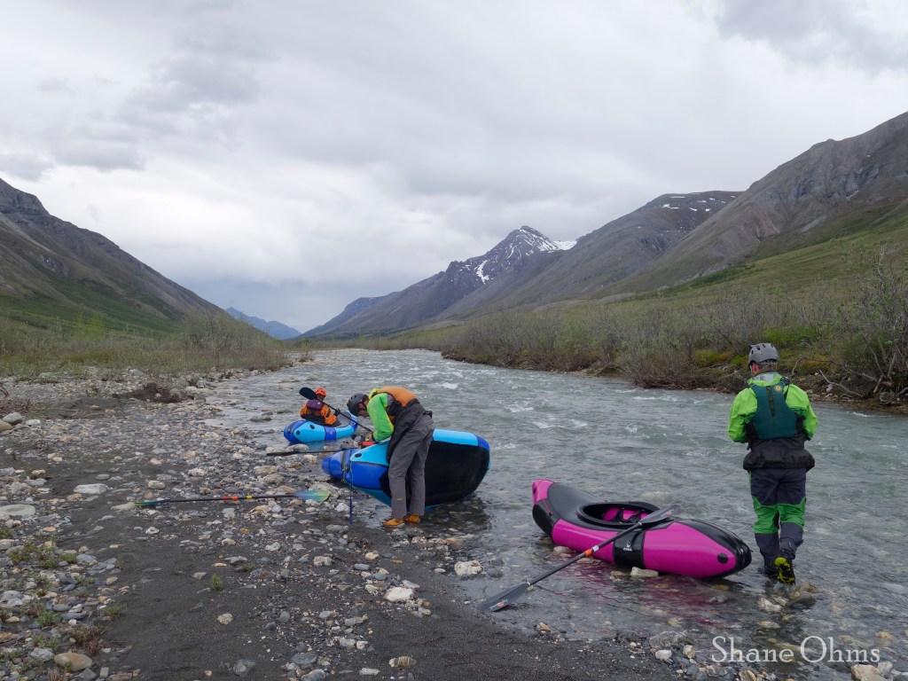
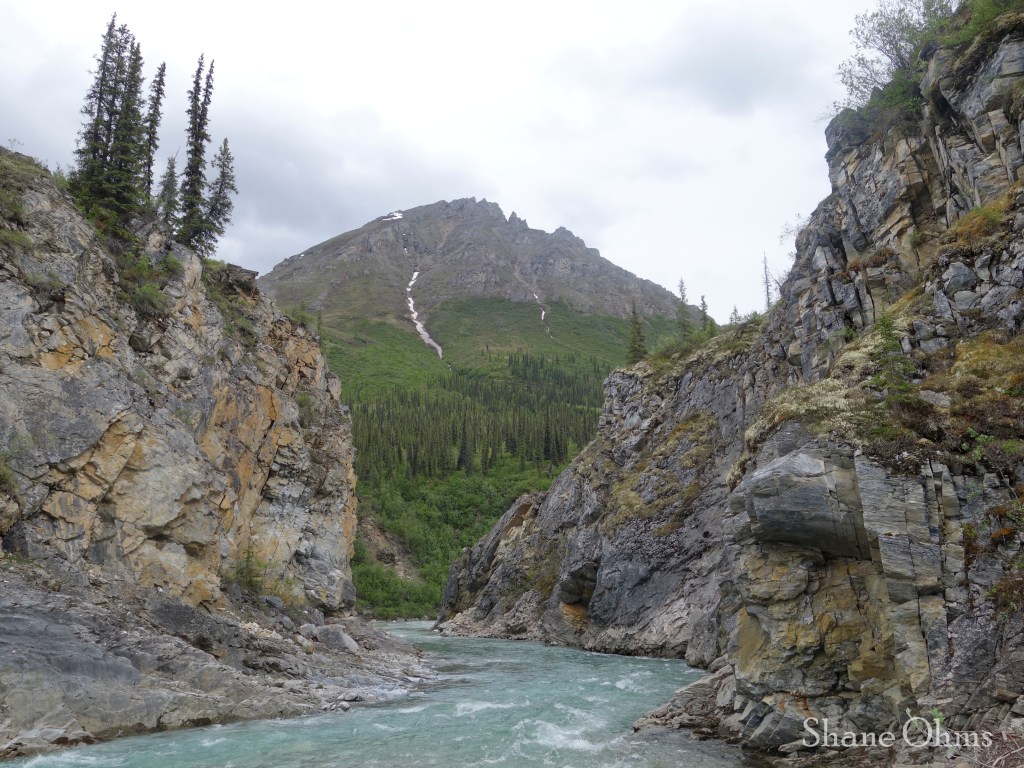
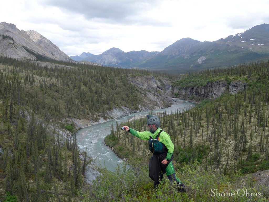
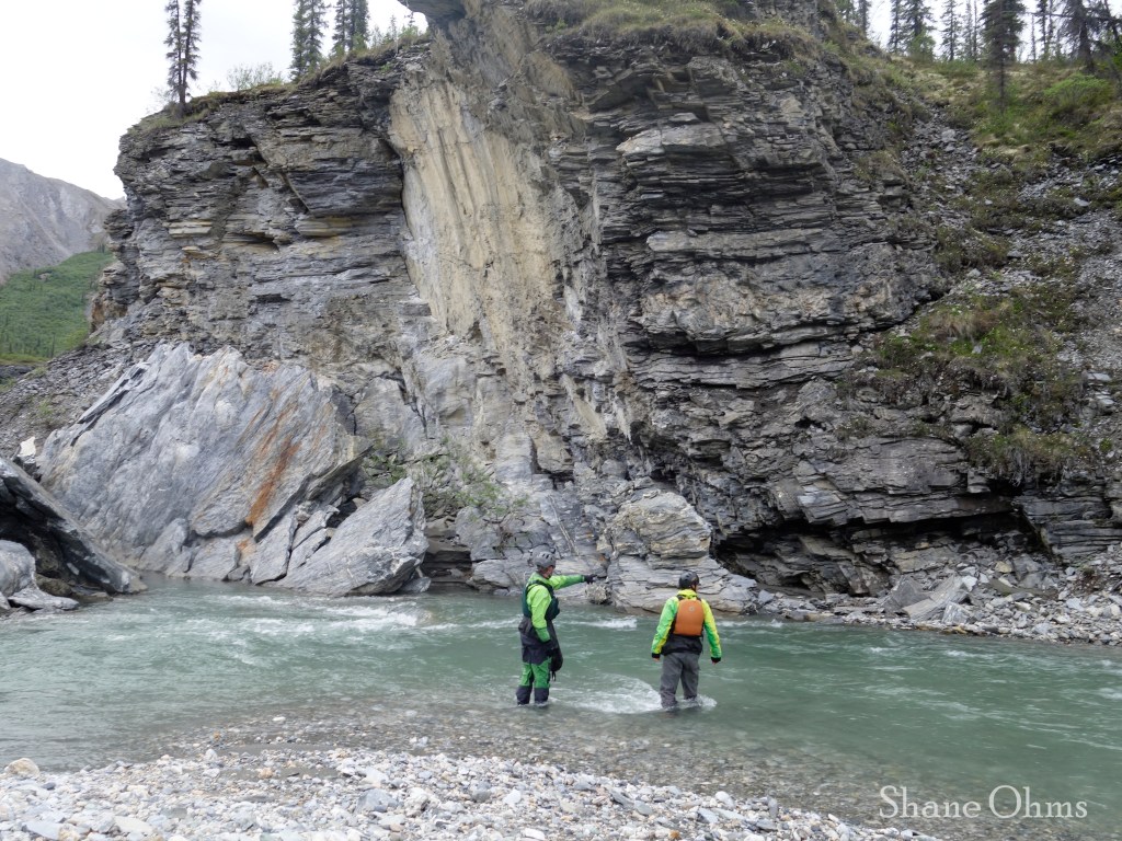
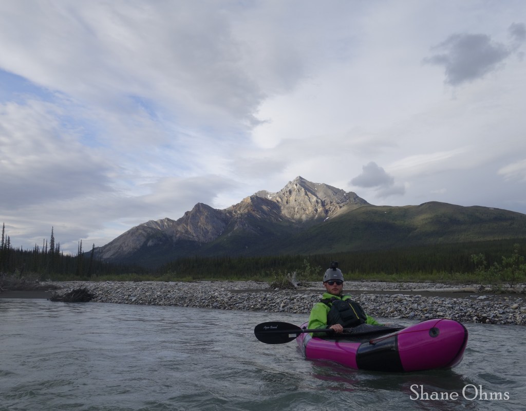
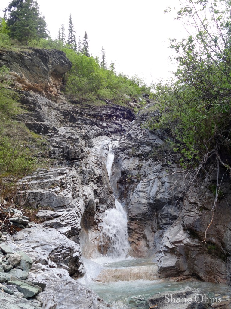
Our first attempt to scout the First Canyon was at this point: 67.649040, -149.454313 (below pictures):
This location was still a half mile before the narrow section of the First Canyon, but it is probably the best (it is definitely the most identifiable) location to be able to easily pull out on the right hand side of the river, and scout from the right.
And you will want to scout this canyon from the right hand side because it is easier to walk than the left hand side.
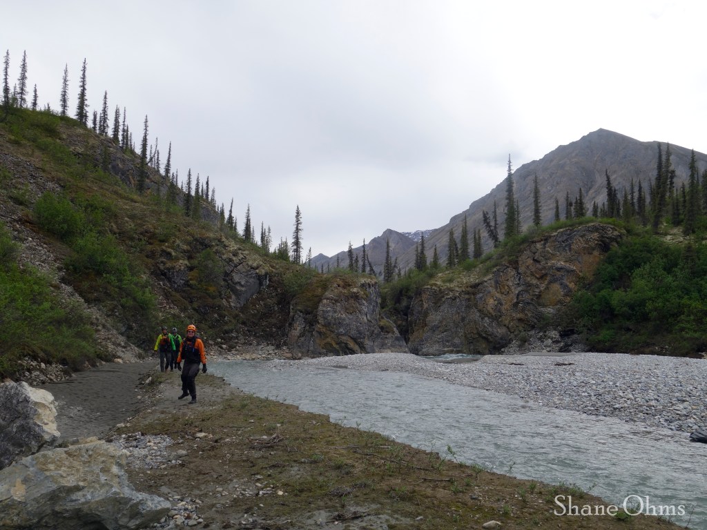
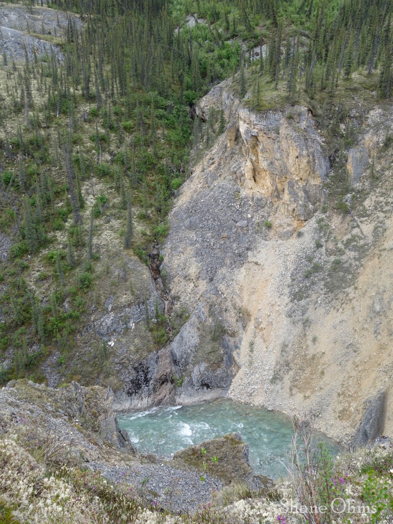
This (below pictures) is from our second attempt to scout the First Canyon. We pulled over on the left hand side here, and this did not give us good walking access for laying eyes on the First Canyon. So, all this to say: you really do want to pull over on the right hand side, where we stopped to scout the first time. Once we went past this second scout point, there was nowhere else good for pulling aside, and so we were sent through the First Canyon blind, but fortunately it had no obstructions in it.
An obstruction such as a fallen tree, or ice (see the Ed Plumb video) in the First Canyon would be unavoidable if river-scouting, so going ashore and walking the rim on the right hand side is important.
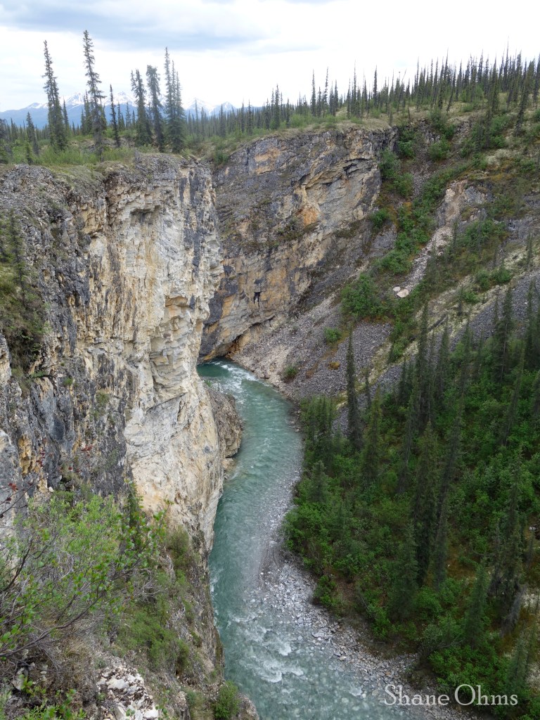
Second Canyon
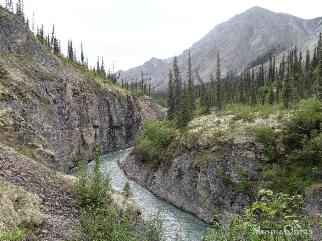
On the Second Canyon we pulled aside about here to scout from the left hand side: 67.610956, -149.503054
This proved very optimal. The walking was pretty easy on the left hand side, it gave us good visuals, and the ability to see how we could portage the Landslide Rapid and still run the rest of the Second Canyon. After Landslide Rapid, the Second Canyon has decent places to pull over and regroup, but not too many places to exit the canyon. It’s water isn’t very challenging, of interest; there are just two places where the water makes a 90 degree turn and the main flow is pushed into the cliff wall. If you simply take the inside curve then you won’t get pushed into it. Now lets talk about Landslide Rapid.
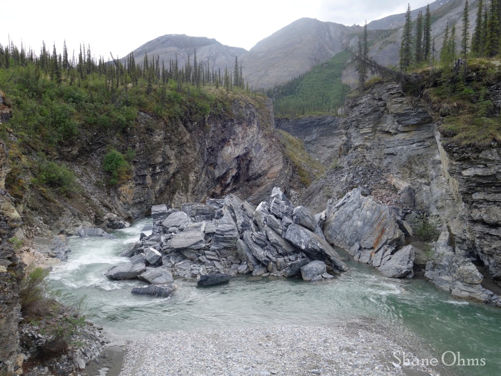
Landslide Rapid
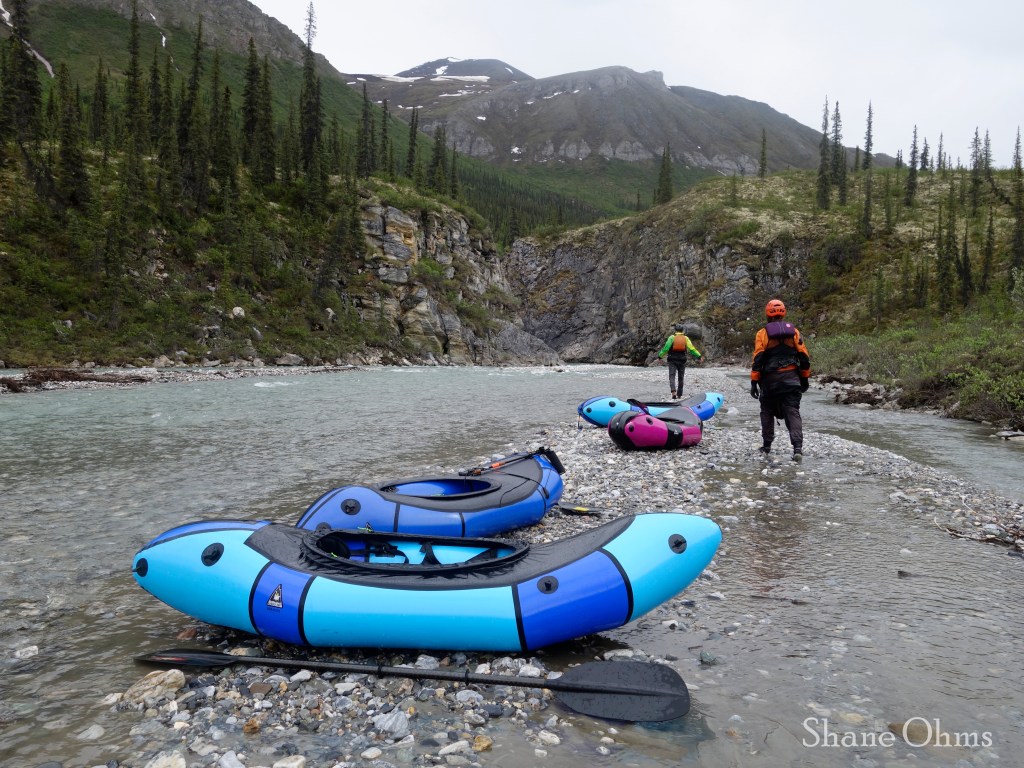
Landslide Rapid is challenging and dangerous, and more dangerous than challenging. The danger comes from the fact that the majority of the flow went THROUGH the rocks (like a sieve). The challenge would be staying in the minority of the flow that wouldn’t put you through the sieve. We portaged Landslide Rapid within the canyon via a relatively painless sneak on the right hand side, behind some vertical rock plates.
First, we all moved into the canyon and pulled aside on the left hand side to get a closer look. Then Sean ferried across and scouted the sneak; it would go. Then we all moved across and went behind the plates. We split into two groups of two to pass the rafts (full of our gear) down a small vertical drop. And then we kept going.
Getting a closer look 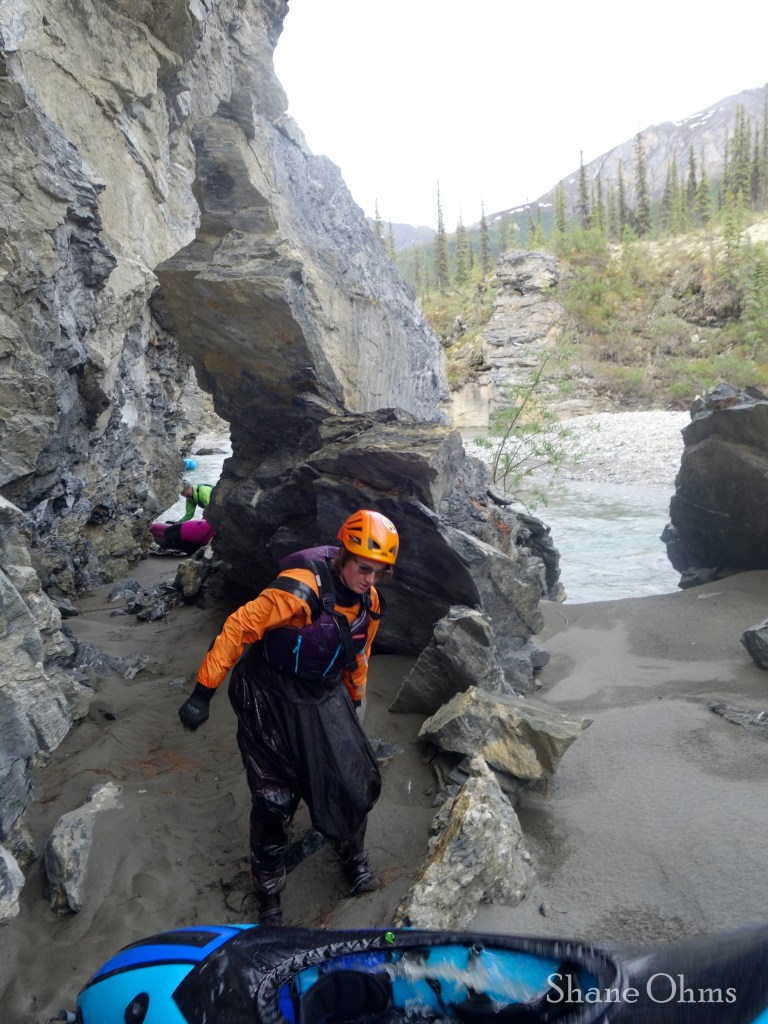
Sneaking behind the rock plates 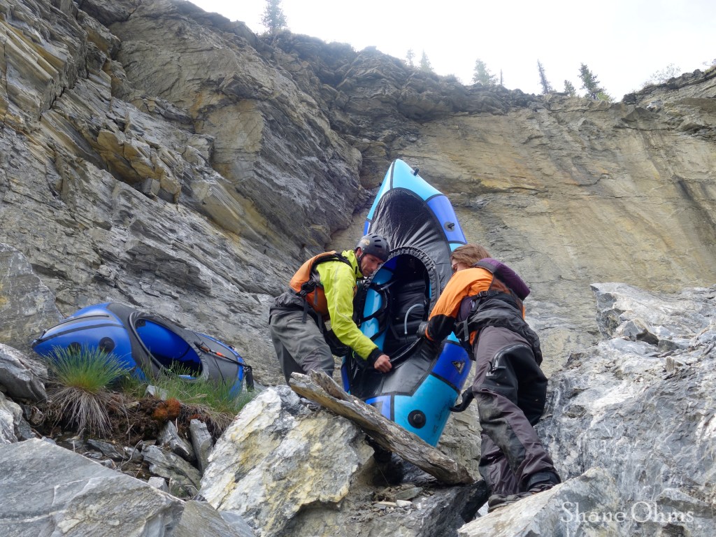
Passing the rafts down, one at a time 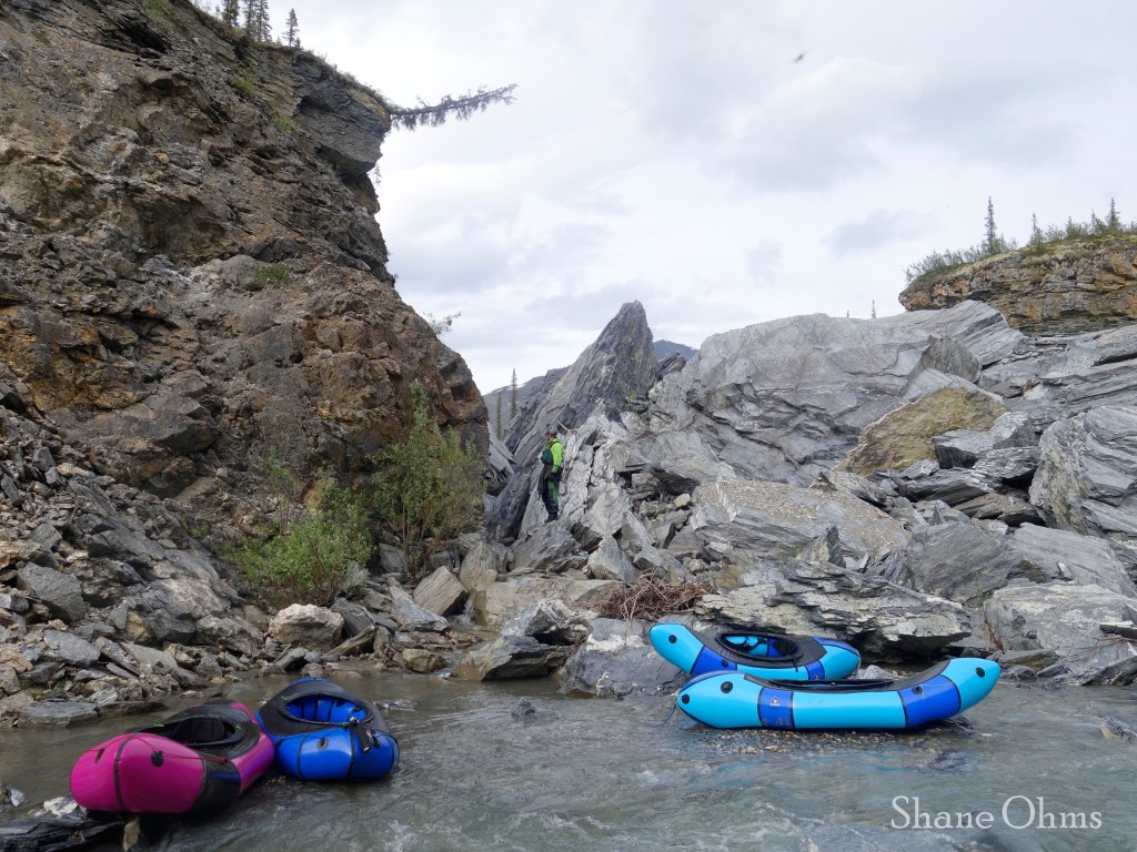
All done!
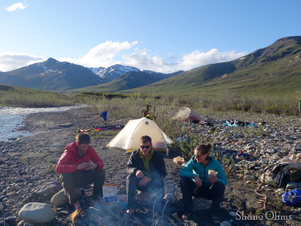
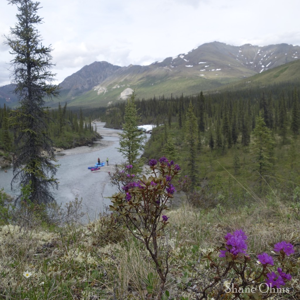
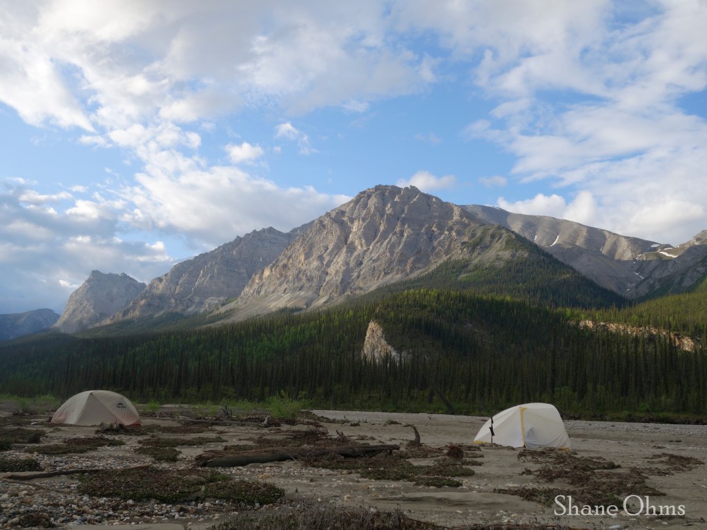
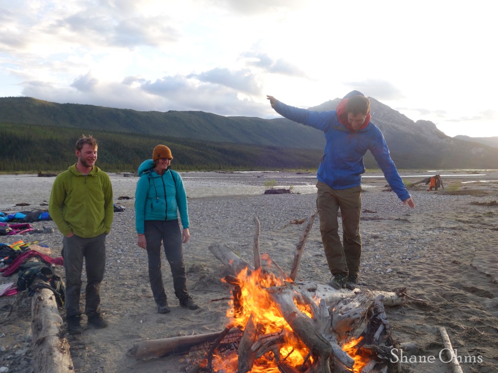
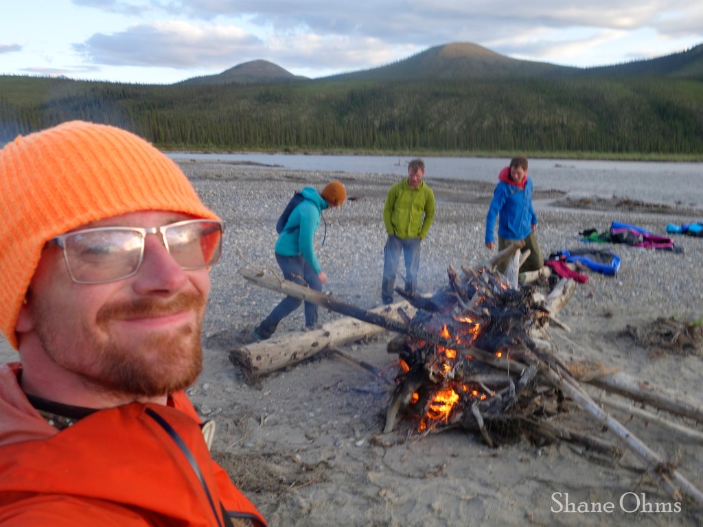
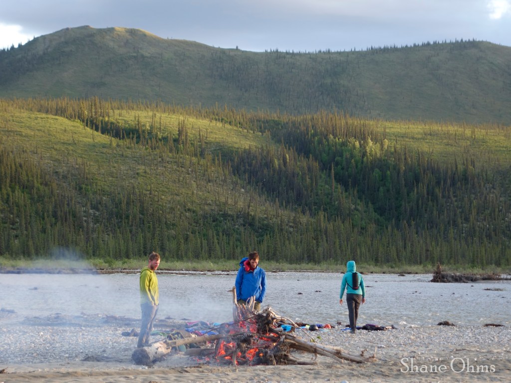
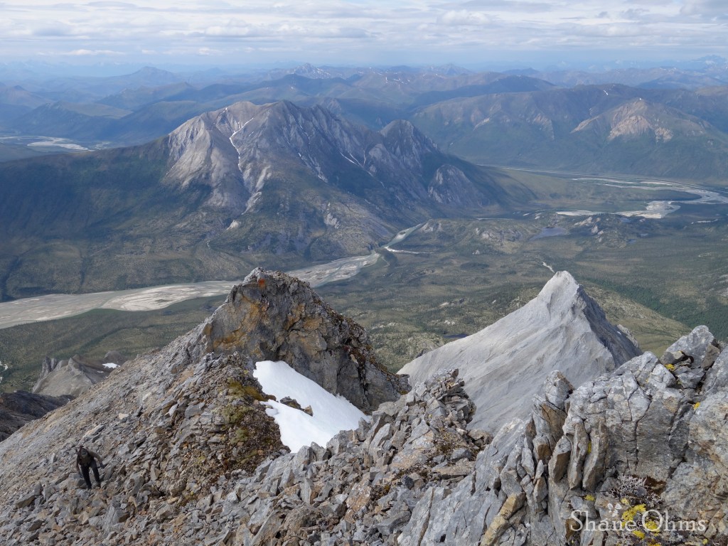
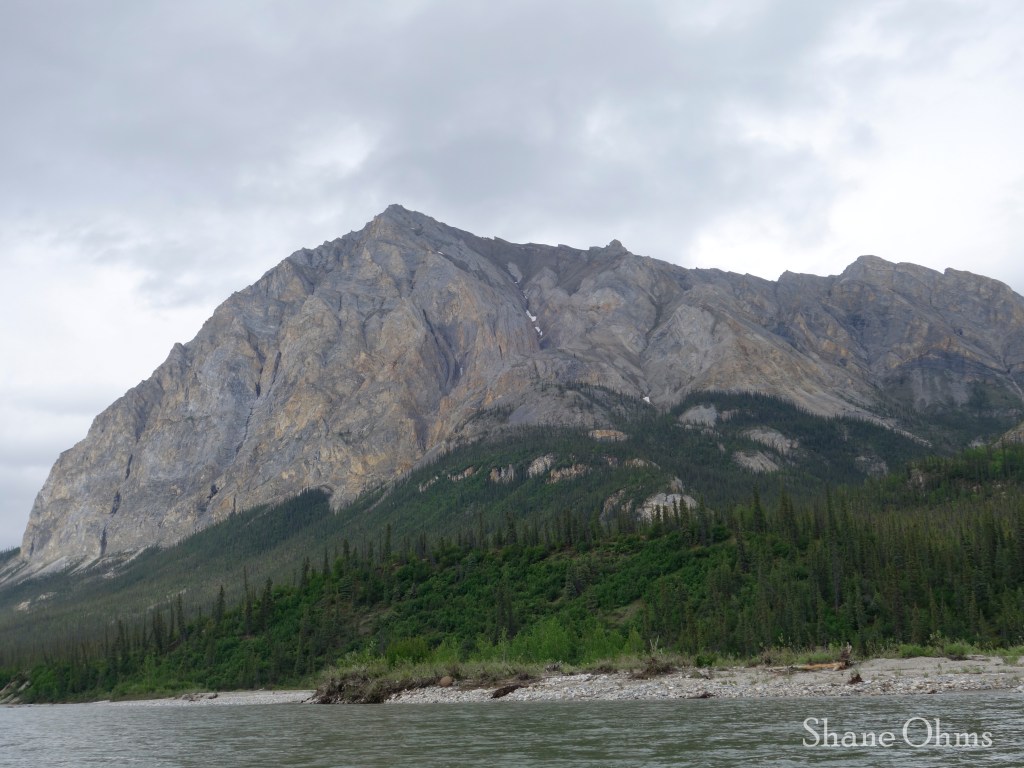
After the Second Canyon, we made it to the confluence of the Bettles River and camped on a huge sand bar where the creek draining the south face of Wiehl Mountain enters the Bettles River. The location was selected for launching an assault on Wiehl Mountain the next day, and for the abundance of driftwood with which we made a huge bonfire. Later that night, we were less impressed with the site selection when a wind picked up for most of the night and blew a steady supply of sand into our tents.


June 18th, 2023
Sean and Curtis were less interested in Wiehl Mtn. than they were in racking up the mileage with an extended trip to the Hammond River, so they took off for their own trip to do that. On their venture, they would run into another party floating the Hammond and were able to assist that group with a bit of gear recovery.
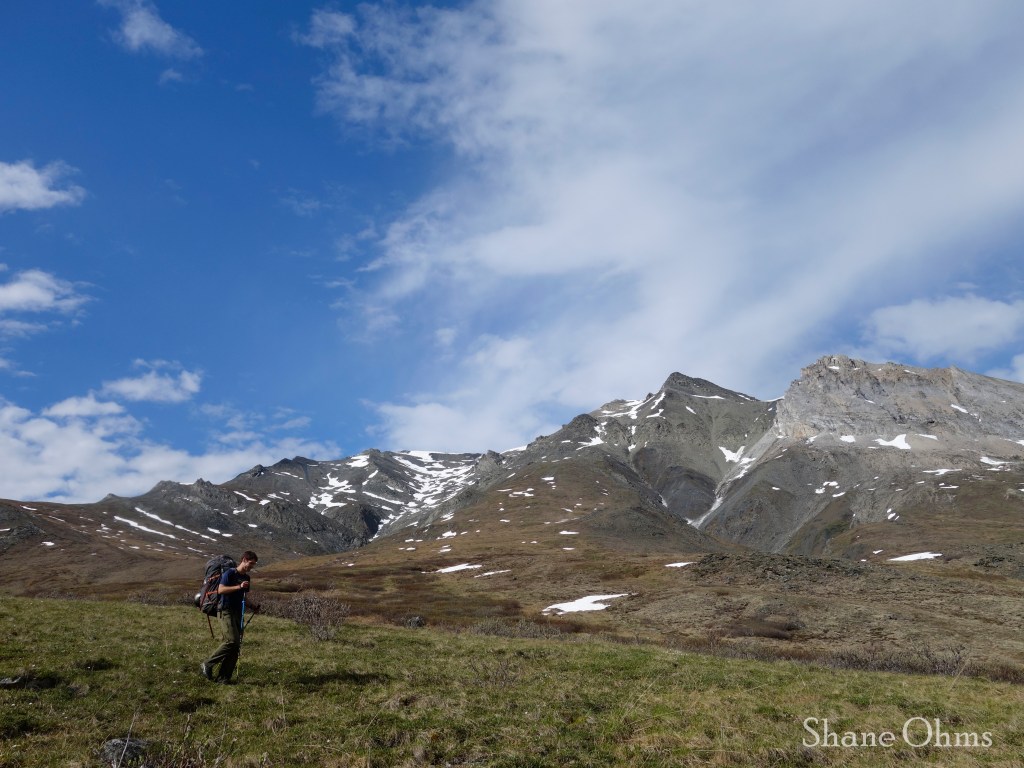
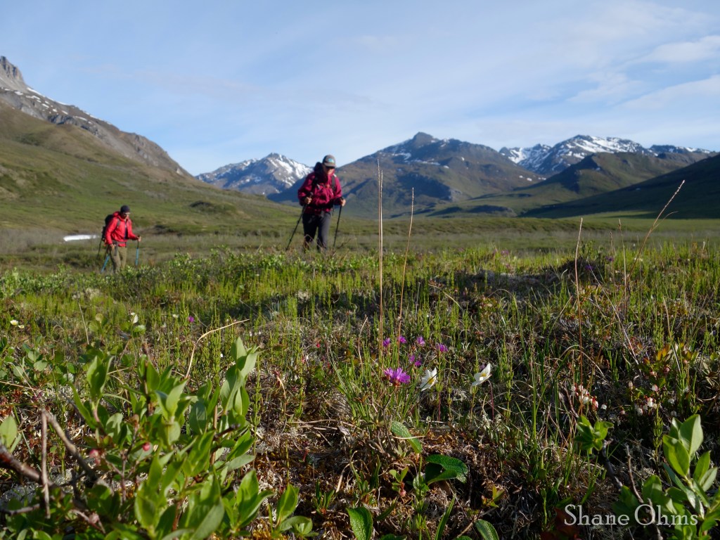
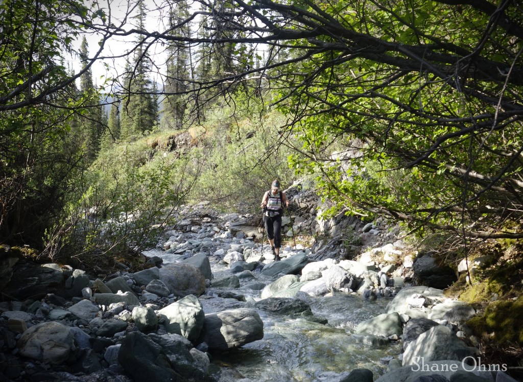
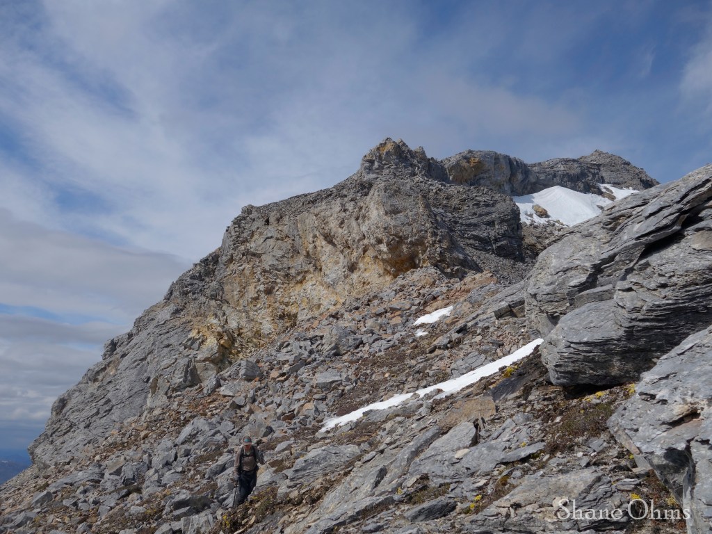
Sophie and I said goodbye and started up the creek for Wiehl Mountain. The creek was easygoing had a certain charm to it, but it only got us to about 2500′ before we saw waterfalls ahead and began a solid cliff-schwack to get up Peak 4580. I flagged some trees along the way with intent to help us pathfind on the way down.

Peak 4580 was a simple addition to the trek.
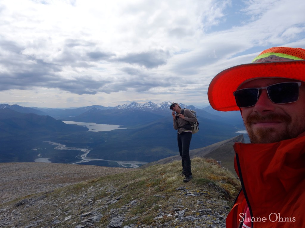
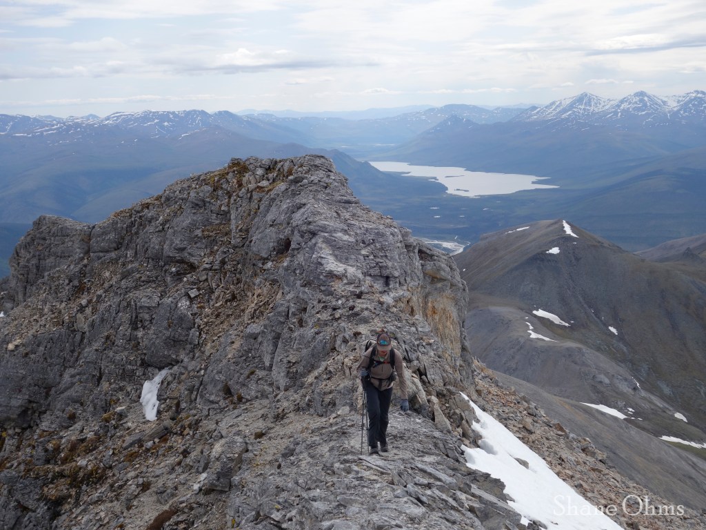
From Peak 4580, the southeast ridge of Wiehl was straightforward and simple. We departed from the ridge at the end to meander onto its southwest ridge. We reached the 5765′ summit at 12:40pm, 5 hours since we left camp. No sign of prior ascent was found on any of the 5 peaks from this trip. Only atop Wiehl Mtn. did I make a cairn, embedding in it a caribou antler I’d found during the crossover from SE to SW ridge.
The descent was the same, except we side hilled around Peak 4580.
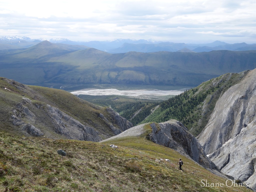

The final float out on the Bettles was uneventful and quick. At the road, my bike awaited me. Sophie had already biked from Fairbanks to Prudhoe Bay before and exclaimed that this section along Snowden Mountain was one of the best (flatter and pretty) parts. It was pretty great. I got the vehicle, then went to the Hammond River bridge where Sean and Curtis hadn’t been waiting for us long.

We got dinner and gas in Coldfoot, then drove to the Arctic Circle sign and made camp. This was a poor choice, and the mosquitos nearly drove us crazy. It probably would’ve been profitable to have driven a bit further to Finger Mountain for the breeze effect, but I was toast for driving and I think everyone else was equally tired. June 19th we finished the drive to Fairbanks.
The Cashews River is one of those trips that is so rewarding and painless that I’ll be back for more. Gimme gimme more!
https://caltopo.com/m/E18EV?fbclid=IwAR1pRfPlkR9f_KpJZIopzscKFf2lfqaQ3_jGI7gVTXj7S4DEbza1-sny_fM
rrr
gg
https://caltopo.com/m/E18EV?fbclid=IwAR1pRfPlkR9f_KpJZIopzscKFf2lfqaQ3_jGI7gVTXj7S4DEbza1-sny_fM
https://caltopo.com/m/E18EV?fbclid=IwAR1pRfPlkR9f_KpJZIopzscKFf2lfqaQ3_jGI7gVTXj7S4DEbza1-sny_fM

Thanks for posting this. Id been eyeing up this river for a couple years but had been non-committal due to lack of trip reports available. Excellent photos and details!
LikeLiked by 1 person