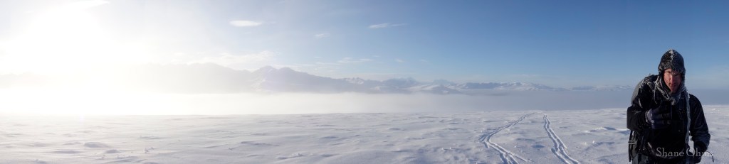
Mount Hajdukovich is a 9600′ peak in Alaska’s Delta Mountains. 9000′ might not seem like much to someone from Colorado, but when the trailhead starts at 1300′, you are looking at 8000′ of elevation gain. For snowmachine mountaineers like Rowland Powers and myself, Mount Hajdukovich is an attractive objective because the lengthy approach can be covered on machine. But snowmachine trails aren’t always as straightforward as you hope, so in November of 2023 we set our sights lower, on the 4545′ high point of Independent Ridge, to serve as an educational trip for a smoother Mount Hajdukovich expedition in the future.
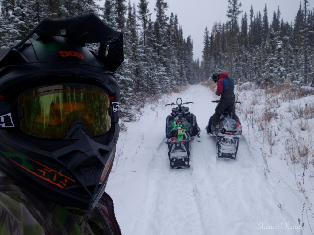
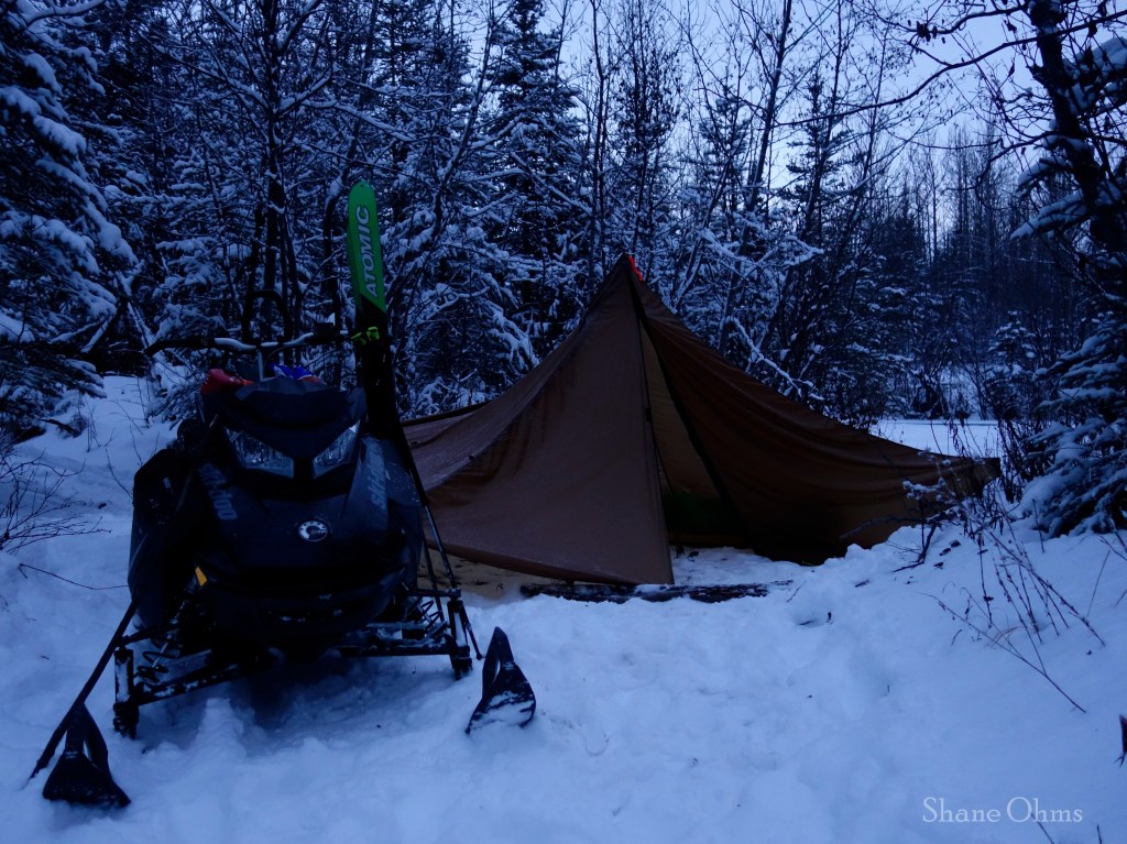
On November 3rd, we got to the trailhead around 1pm in the afternoon with the goal to camp at the base of Independent Peak. Being November, and on the dry side of the delta mountains, there was not a lot of snow on the trail. There was enough to keep the machines cool, but some of the ruts were deep and not filled in. We followed the trail until it deposited us on Little Girstle Creek, which was still flowing. So we made camp there, not knowing that we had actually passed a critical junction just a quarter mile back at coordinates (63.718129, -144.937836), which turns uphill and would have gotten us 2 miles closer to the peak. On our descent of Independent Peak we would look down upon the trail and realize this error, but at the time our assumption was that the trail continued across the Little Girstle River and that this was as close as we would get.
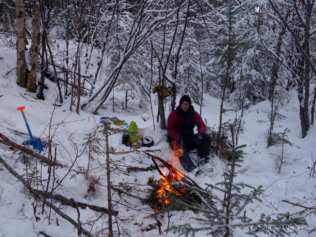
Rowland likes cooking real food on fires when wood is a resource, so we cooked some chicken over a fire and ate that for diner.
On November 4th we rose to make our summit bid. We navigated fallen trees and did other general schacking to reach the large creek which drains the three northern gullies of Independent Peak. We needed to go up one of these gullies or the ridge on either side of them. The travel on the creek was not being super kind, so we opted to get out of the creek ASAP and picked the very first (westernmost) of the 4 north facing ridges.
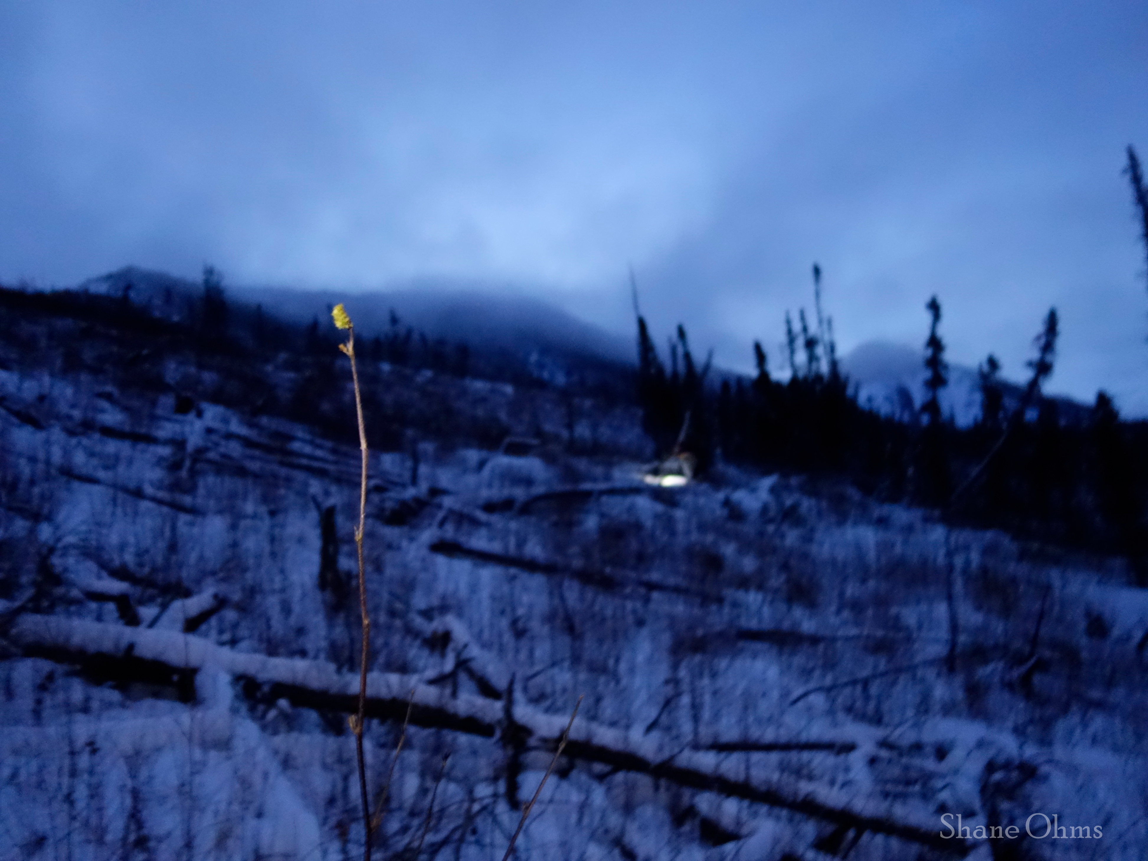
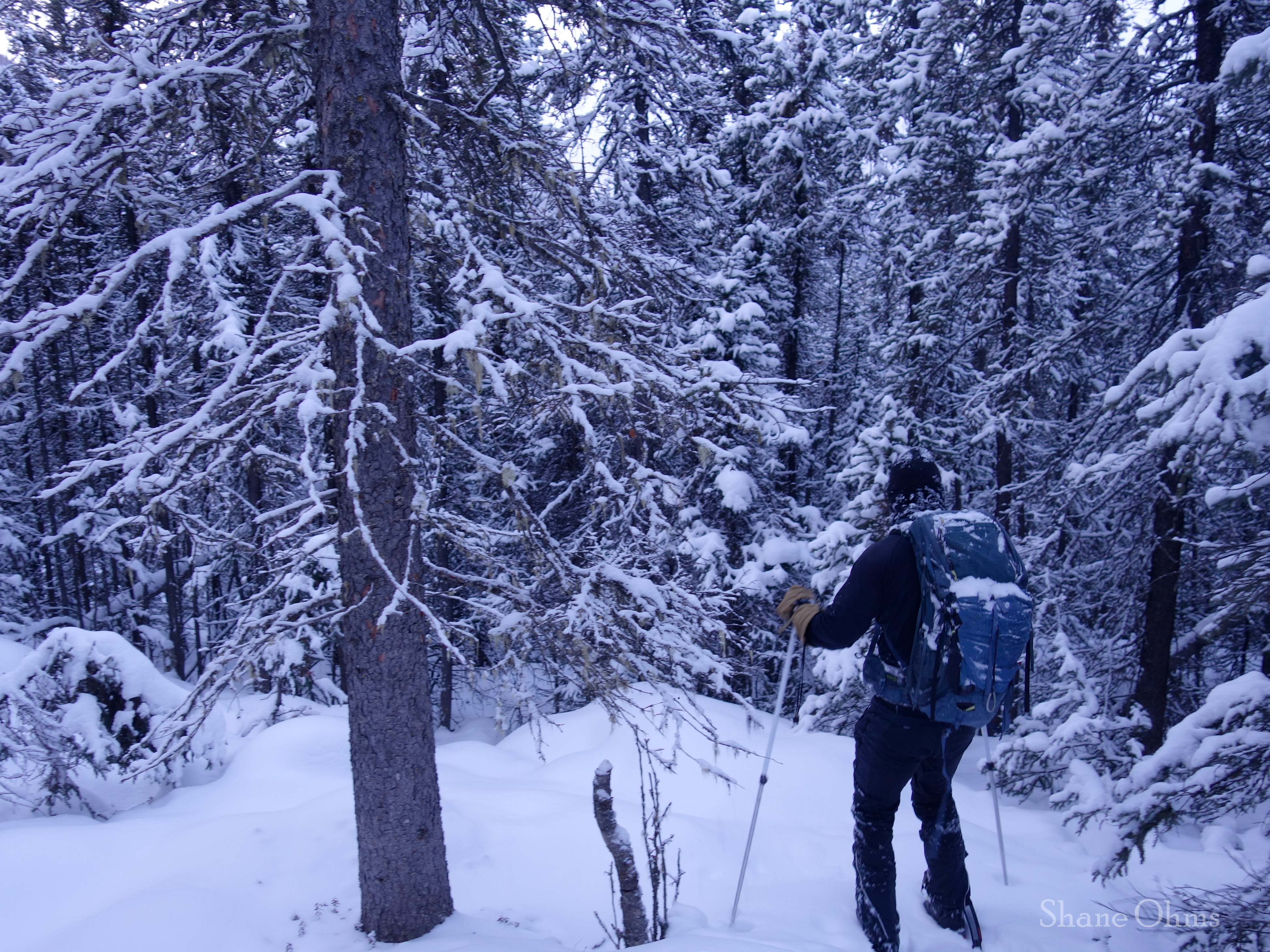
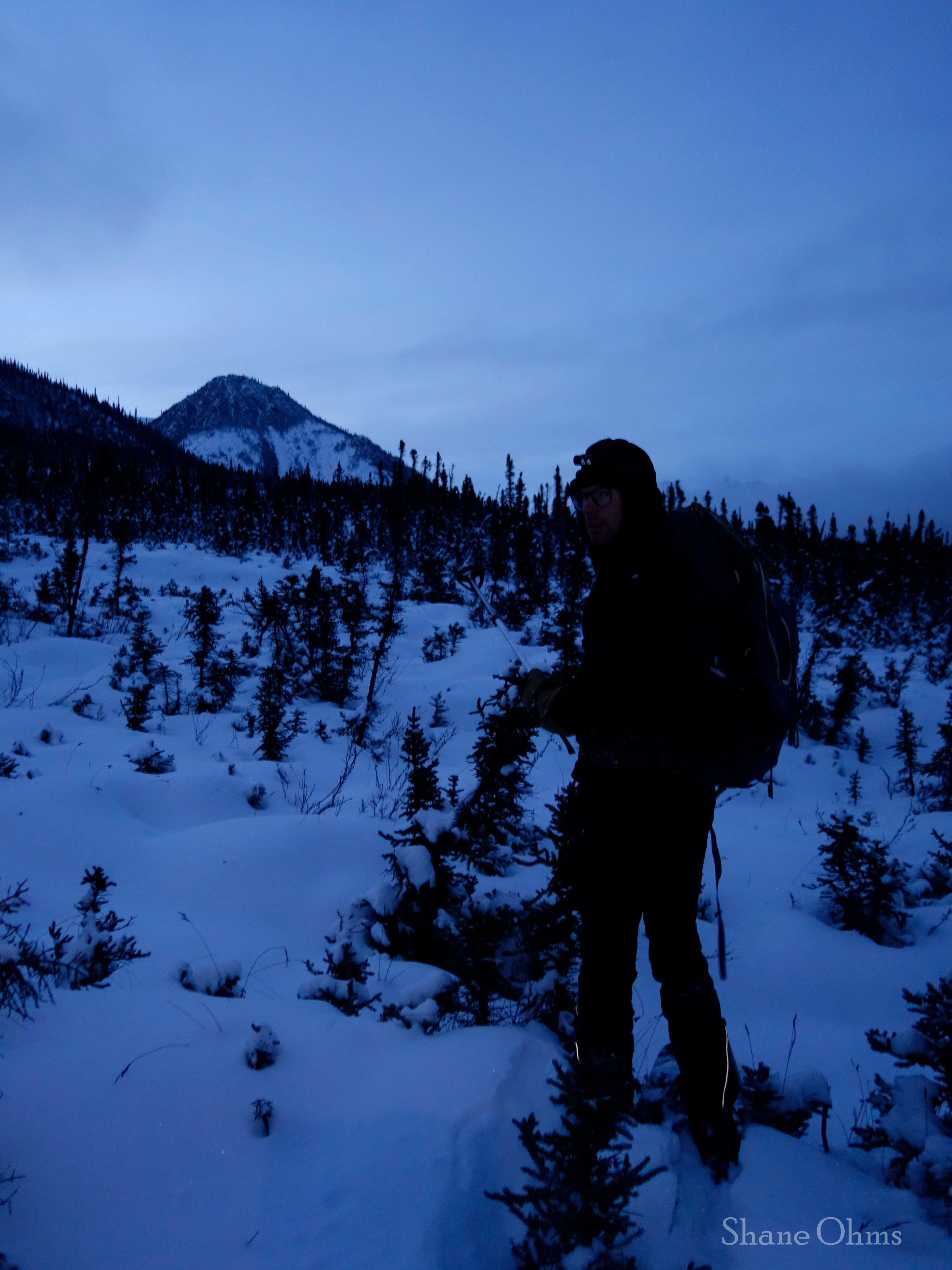
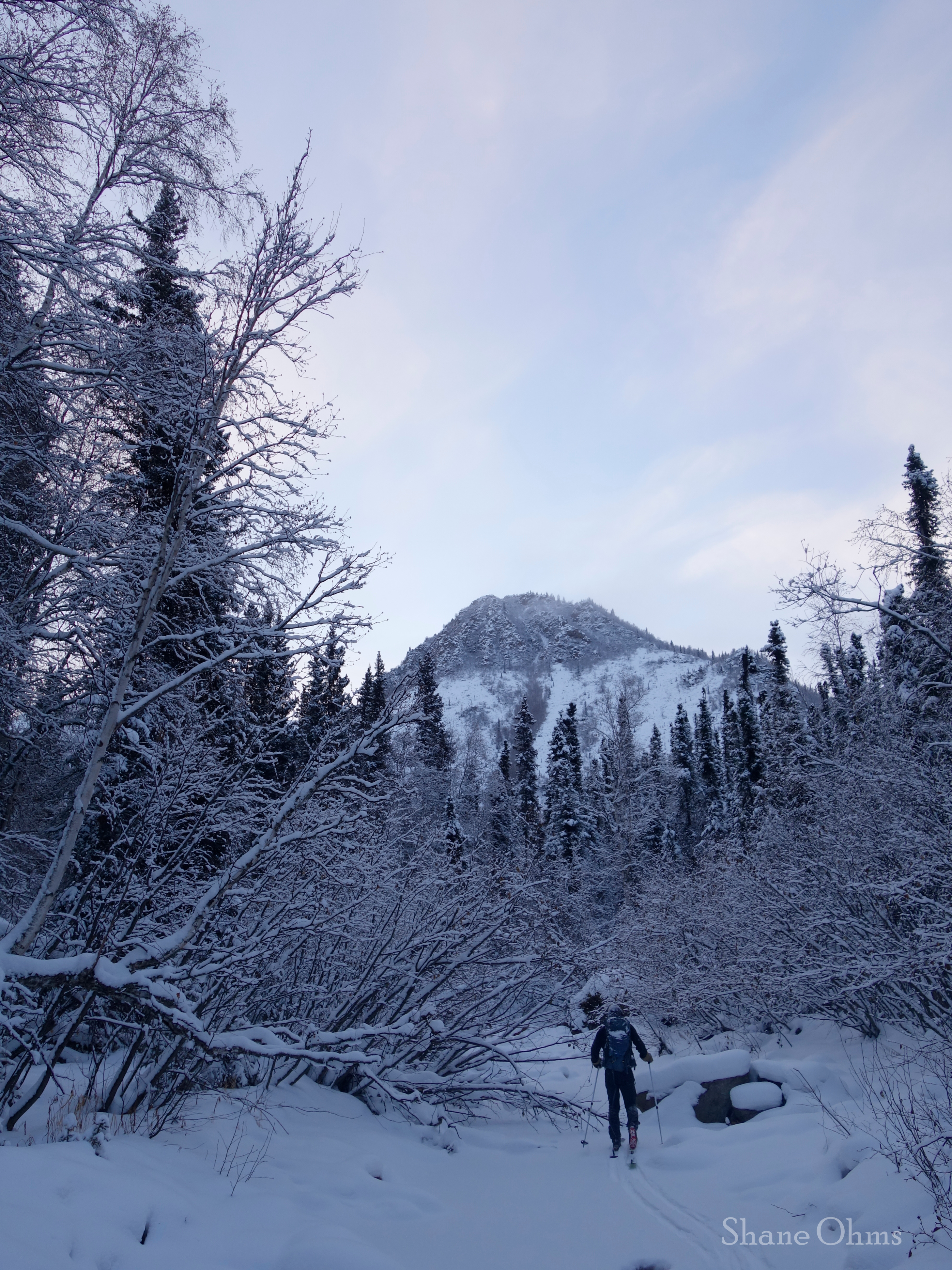
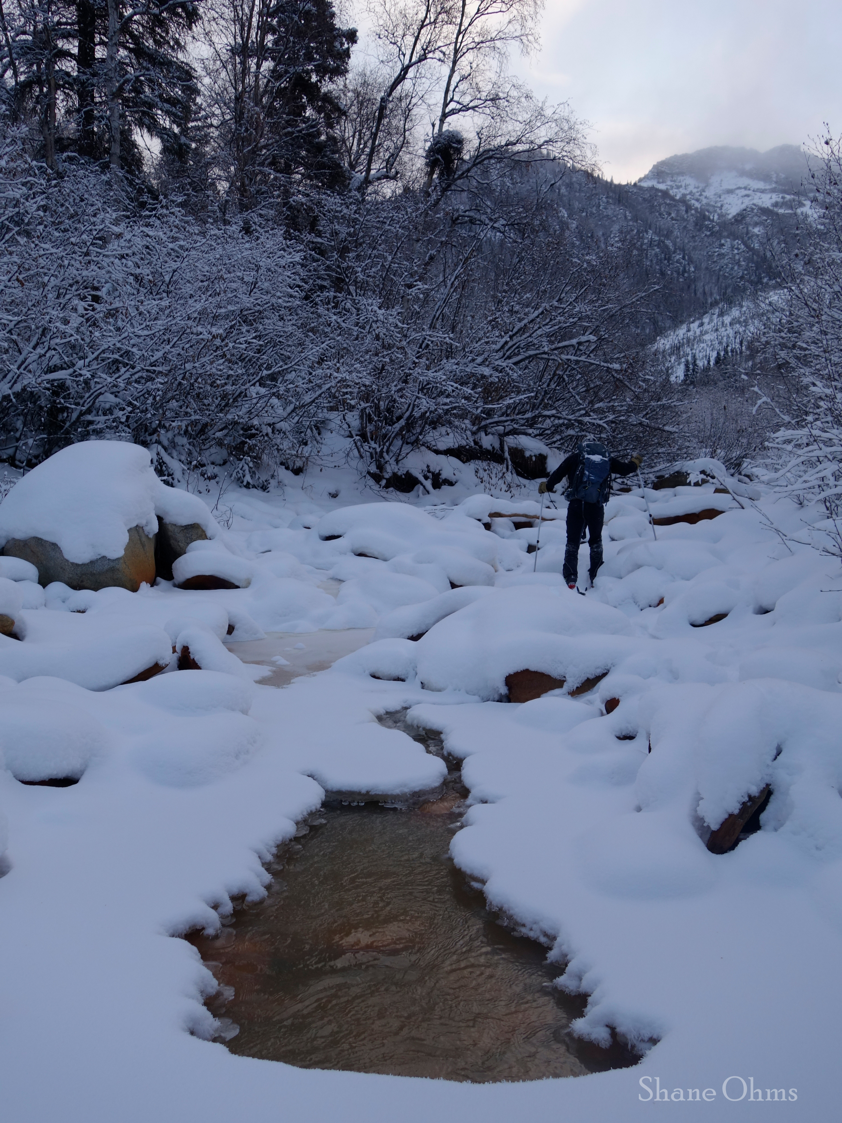
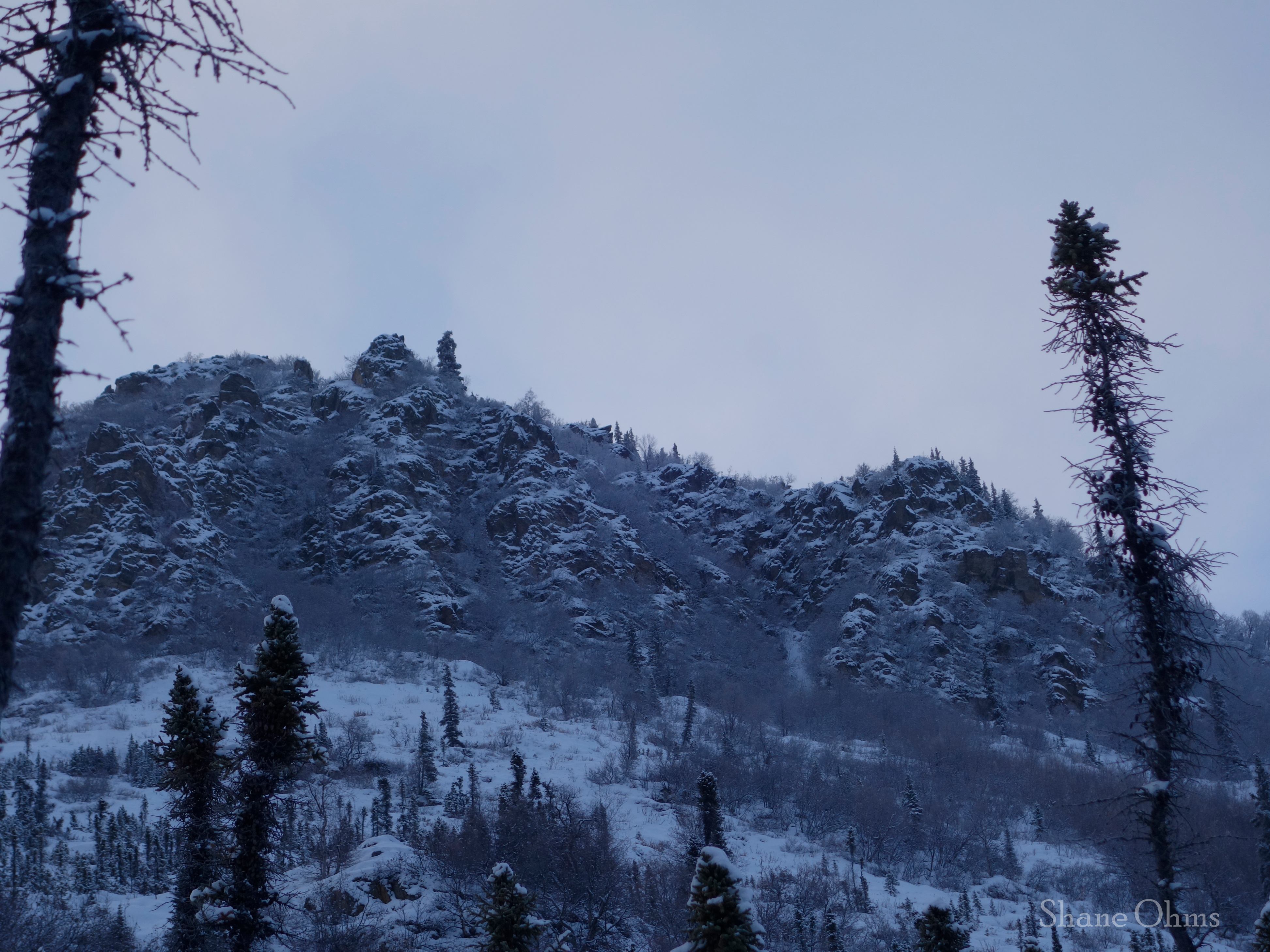
We made good work up to 2900′ where progress was interrupted by a vegetated rock wall, and which we navigated around on climbers right.
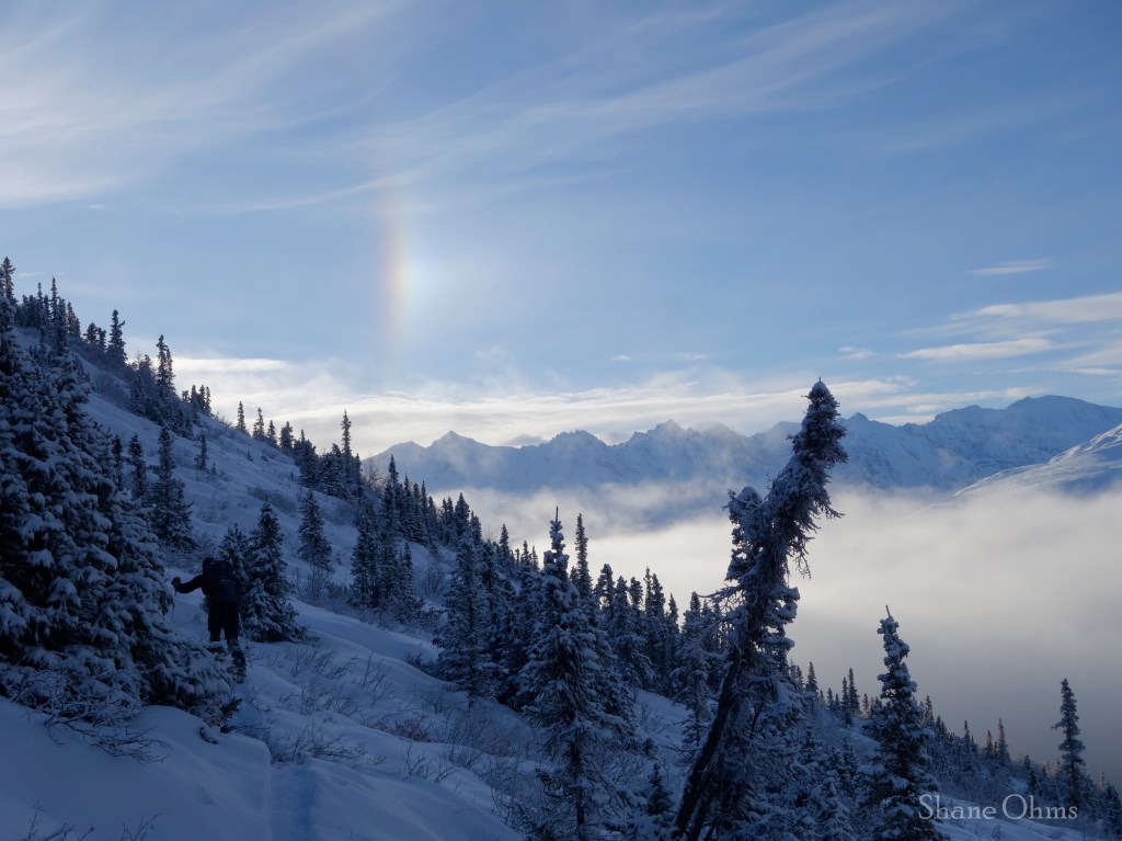
After regaining the ridge at 3400′, the day became more pleasant. The schacking was over (until the descent) and we were in the sunshine.
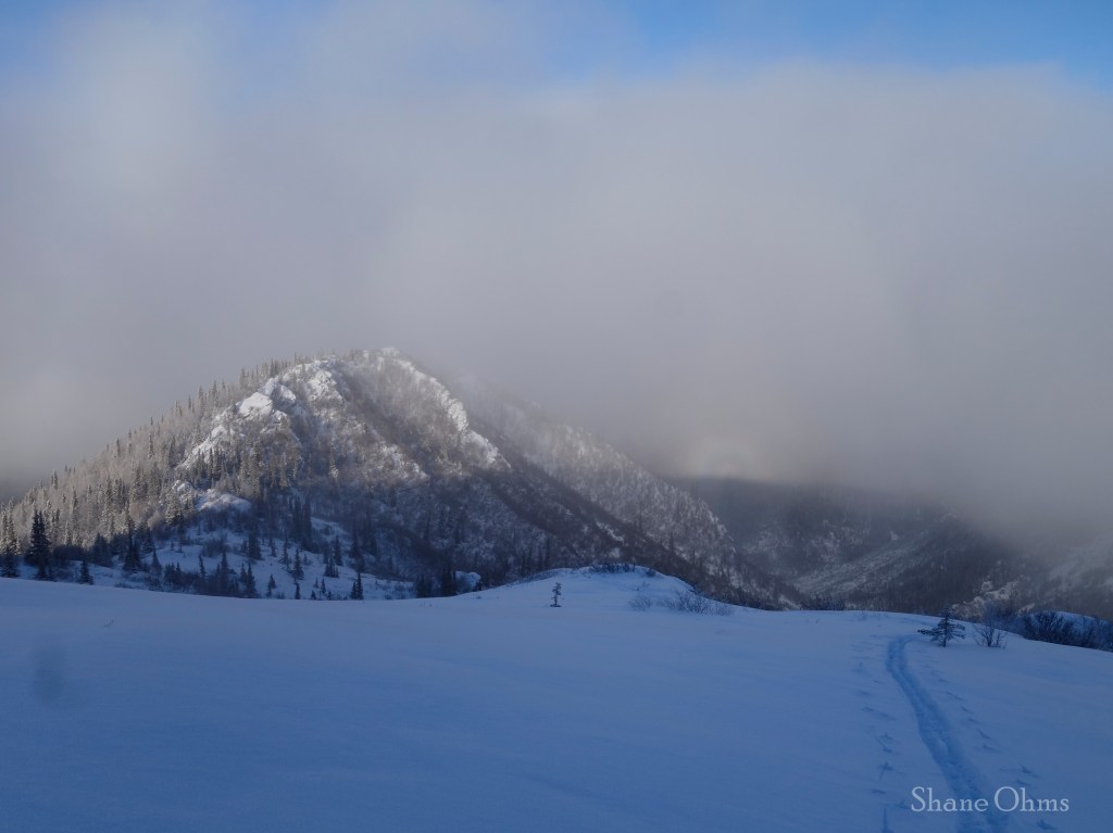
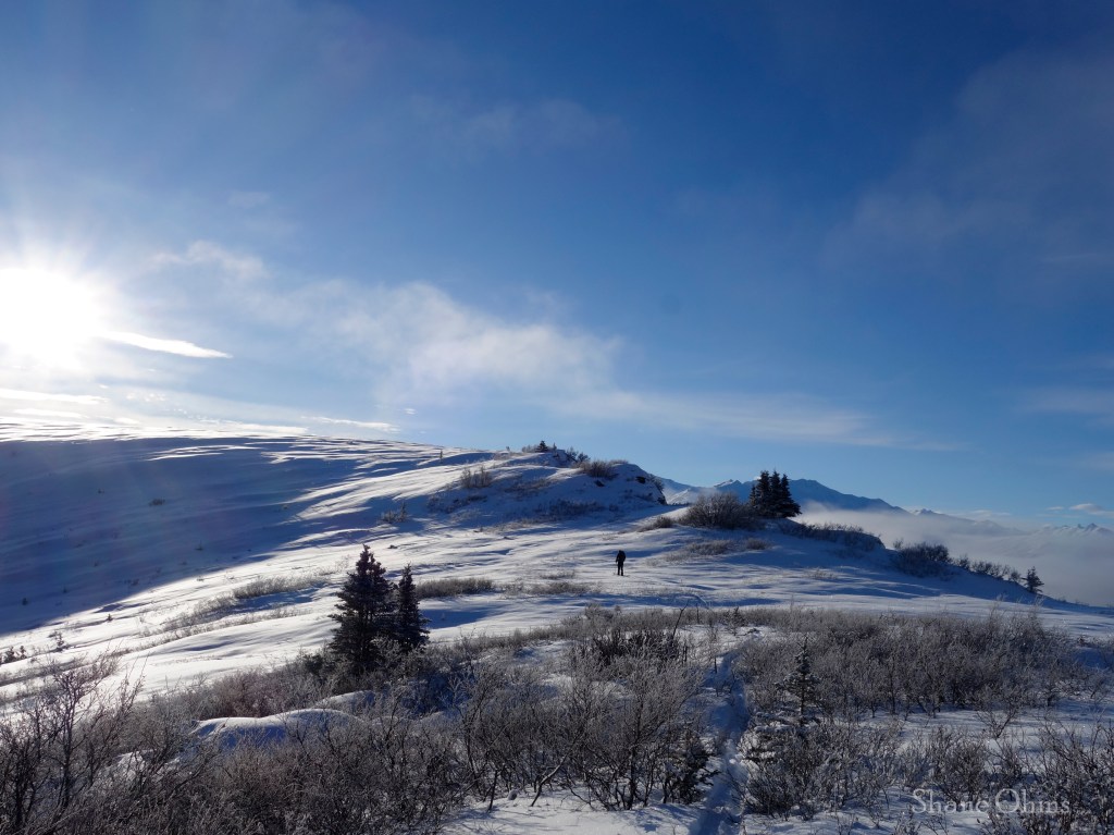
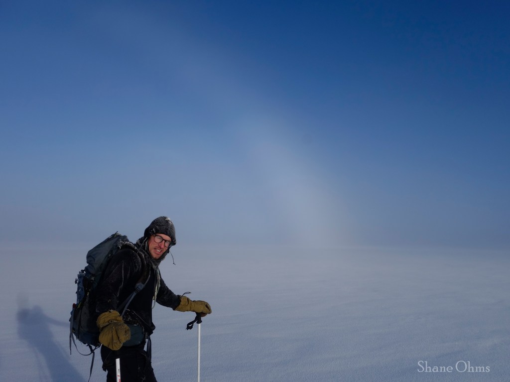
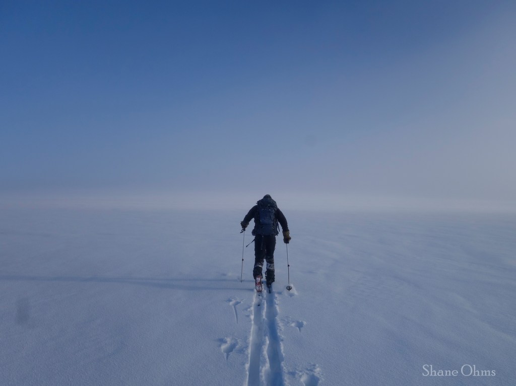
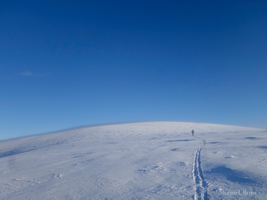
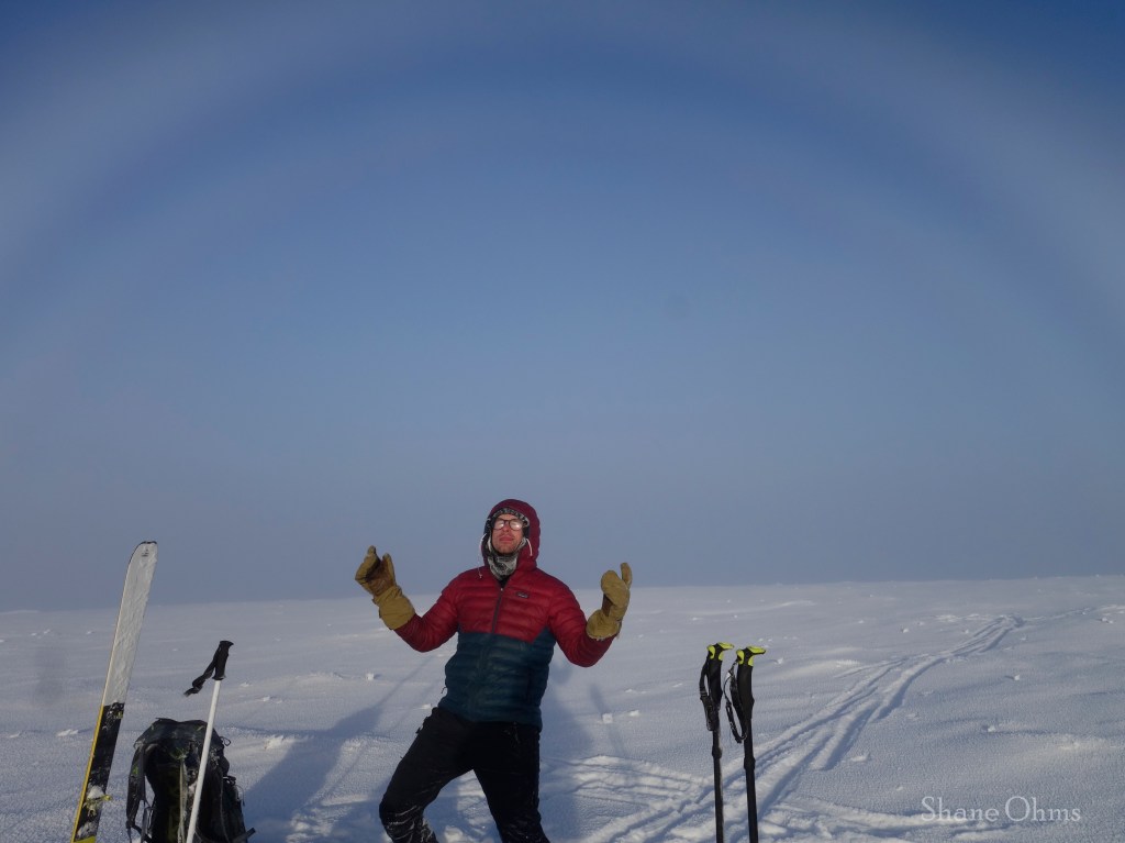
Up on this plateau, 2 miles of barely uphill skinning would see us to the summit. We went through an interesting haze/cloud zone on the way up, which refract the light and created sun dogs (the white looking rainbow feature) in the sky.
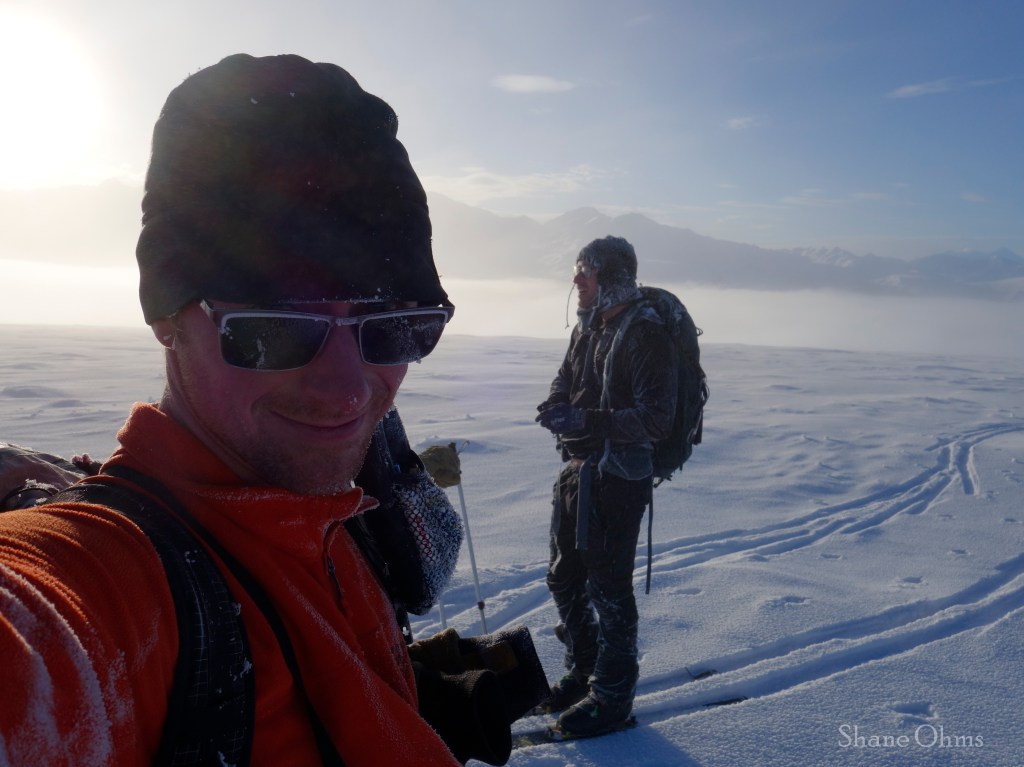
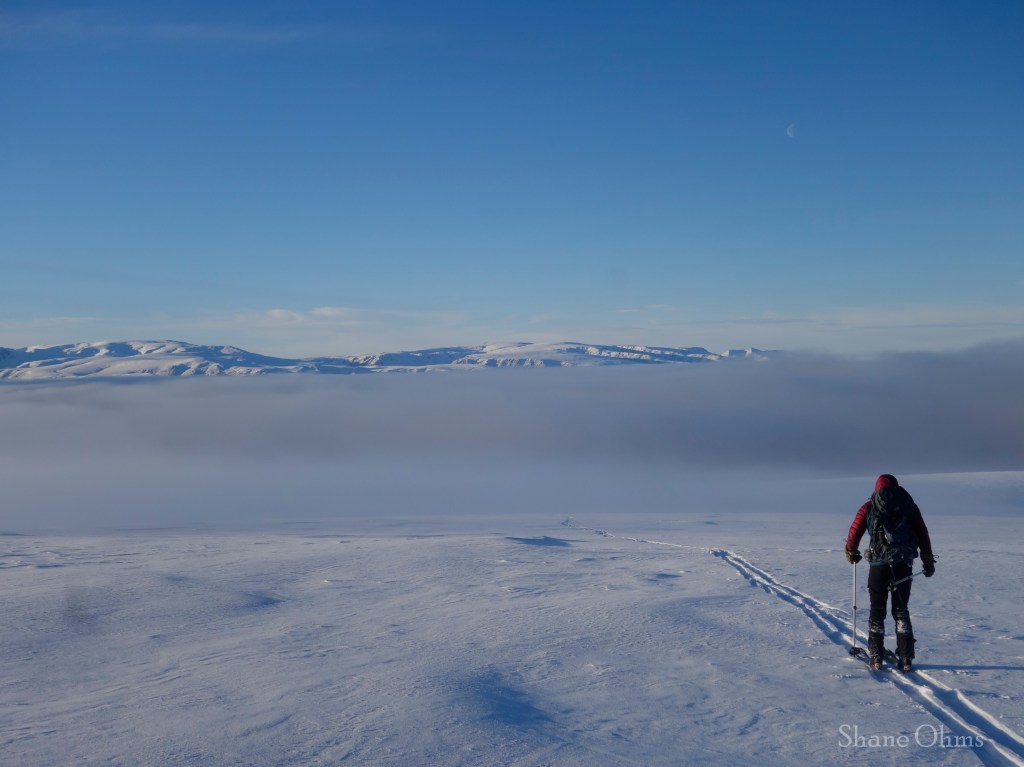
The descent back down to treeline was smooth…
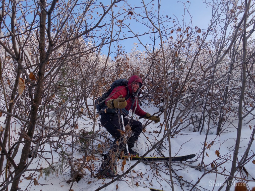
…and then when we hit treeline it wasn’t smooth. During the ascent we had looked down and seen the part of the snowmachine trail which we had missed. We decided that it would be faster to schwack down to it, and follow it. This would also help us learn where we went wrong on the trail for the next Little Girstle trip. So that is what we did. And the schwacking sucked, but it sucked less than the ascent’s schwacking so that was a win.
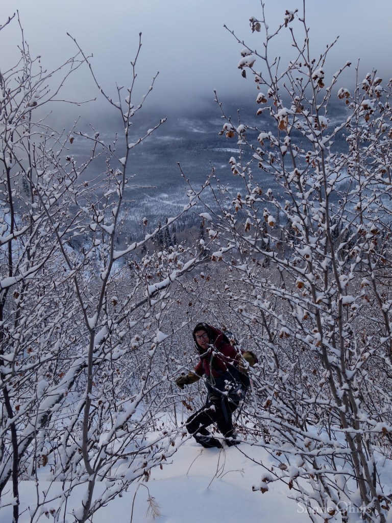
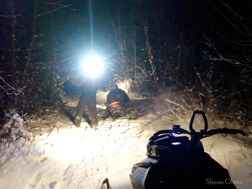
By following the snowmachine trail, we discovered the sneaky turn-off that we had missed a quarter mile back from the river. We contemplated camping another night or machining out to the road in the dark. Getting back home to our comfy beds won, so we fired the machines up and bugged out.
Click Part 2 for a write-up on Spur Peak