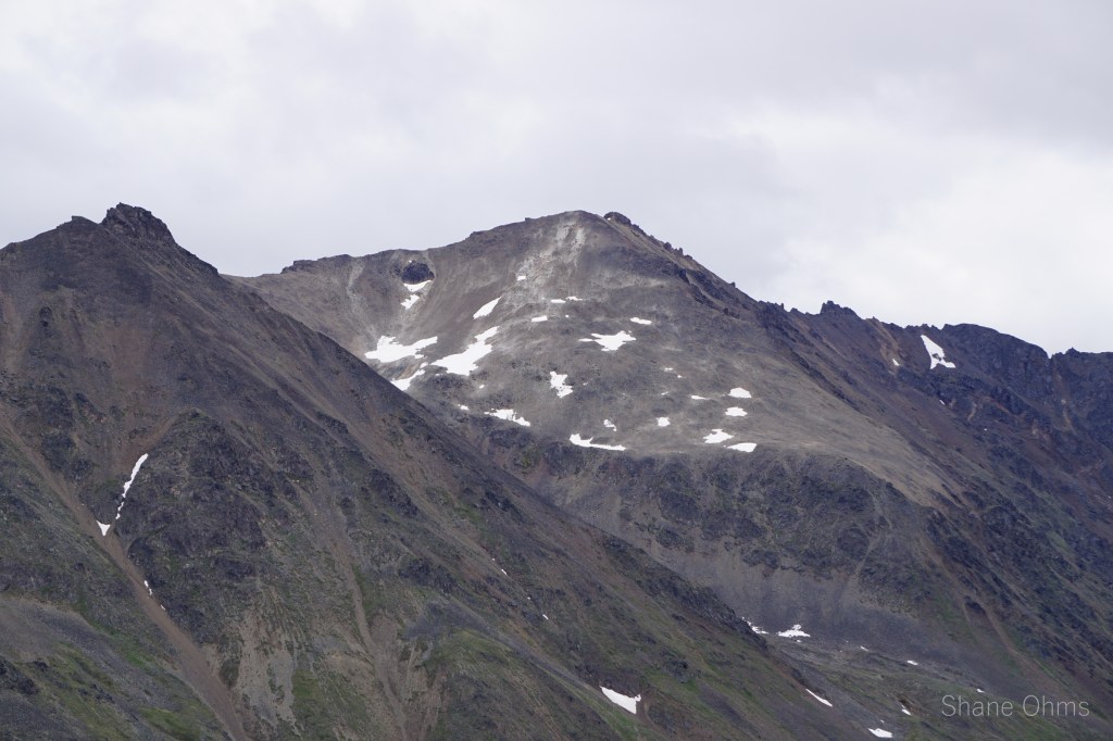
Benench’iltledi Peak, a name bestowed to this mountain in the book “Shem Pete’s Alaska”. Previous to my knowledge of the name Benench’iltledi, this peak was known within the confines of my mind (and Caltopo account) as Flerovium Peak. A name I’d derived, like a few others in the area, by pacing off from surveyor point Antimony Peak (the only name printed on topo maps for miles) in a grid-like fashion on an overlain image of the periodic table of elements.
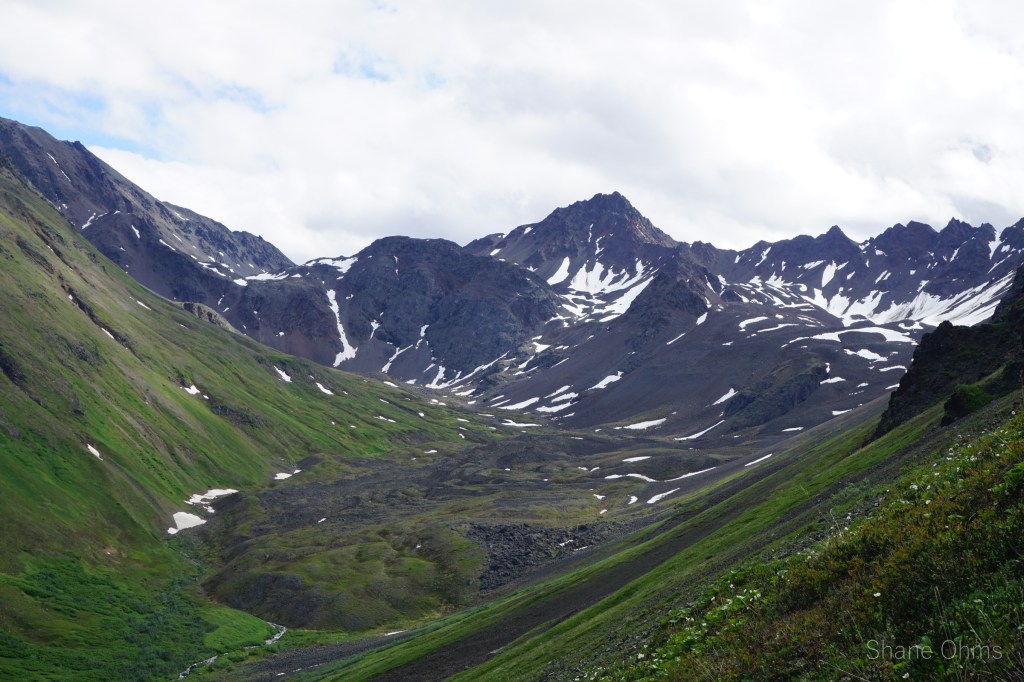
These ‘Elementary Mountains’, cradled between Honolulu Creek and Hardage Creek, had a sweet spot in my heart since I’d looked into them on google earth back in my college days. I’d made a try at skiing one of them in my senior year, but that didn’t work out. That was over two years ago too. Furthermore, it was cloudy on that trip so I still lacked any reconnaissance photos of the area whatsoever. Benench’iltledi Peak, was pretty standalone and it had a particular route I wanted to do it by; the west ridge. Additionally, I had some good beta on the approach for this peak from a Roaming Dials packrafting page: https://packrafting.blogspot.com/2009/06/honolulu-hoop.html which yielded more beta than I often possess. Benech’iltledi Peak would make for a good first trip into these mountains.
Sunday June 27th 2021
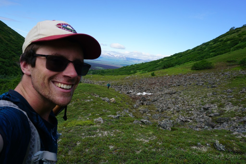
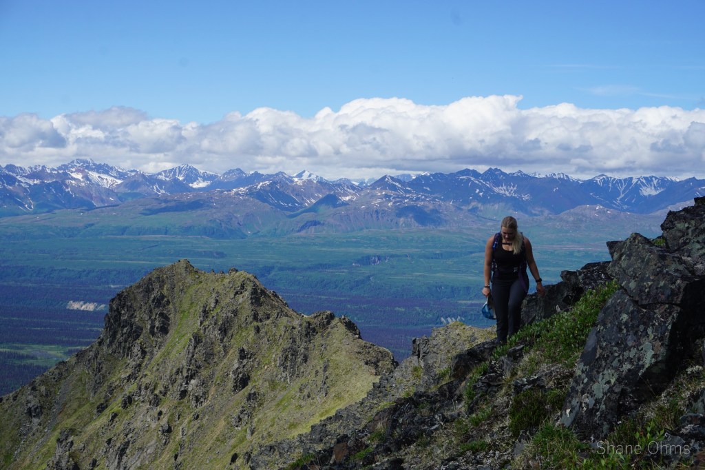
Bright and early and on a single good weather day Marianna Mallory and I drove down from Fairbanks to the trailhead for this peak. Mariana and I had only done one other trip together, and that was two Mays prior. It was on 9800′ White Princess where she held my weight in a crevasse fall up at 8000′. This trip shouldn’t bear any more thrill than that time.
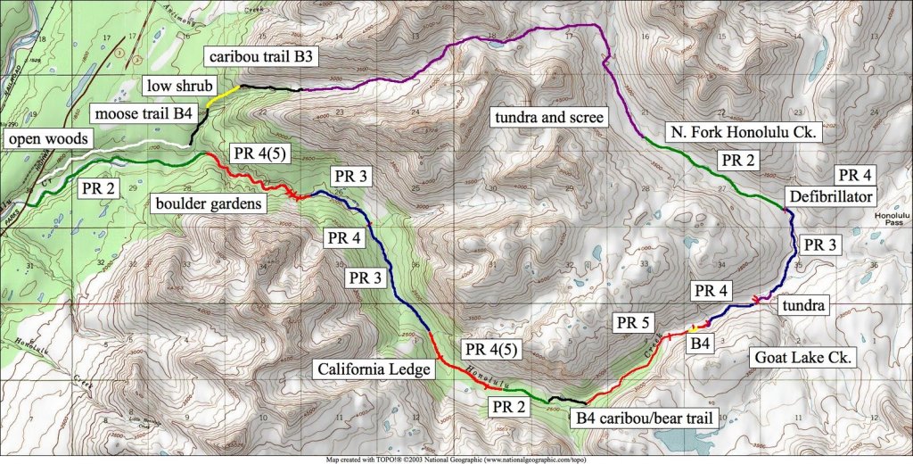
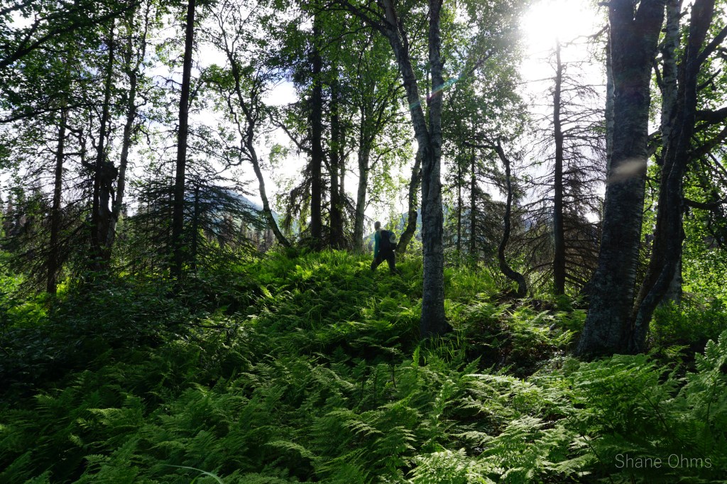
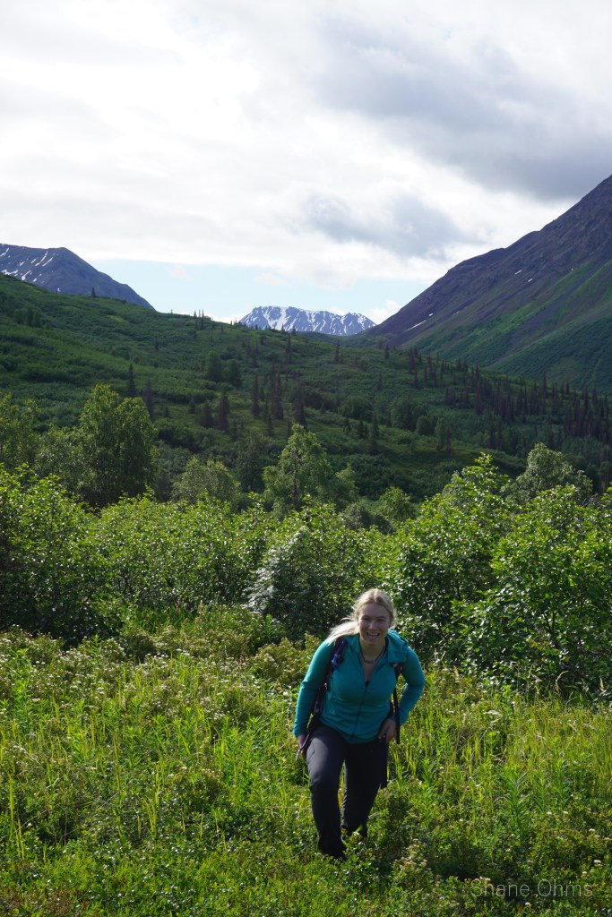
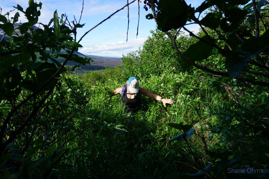
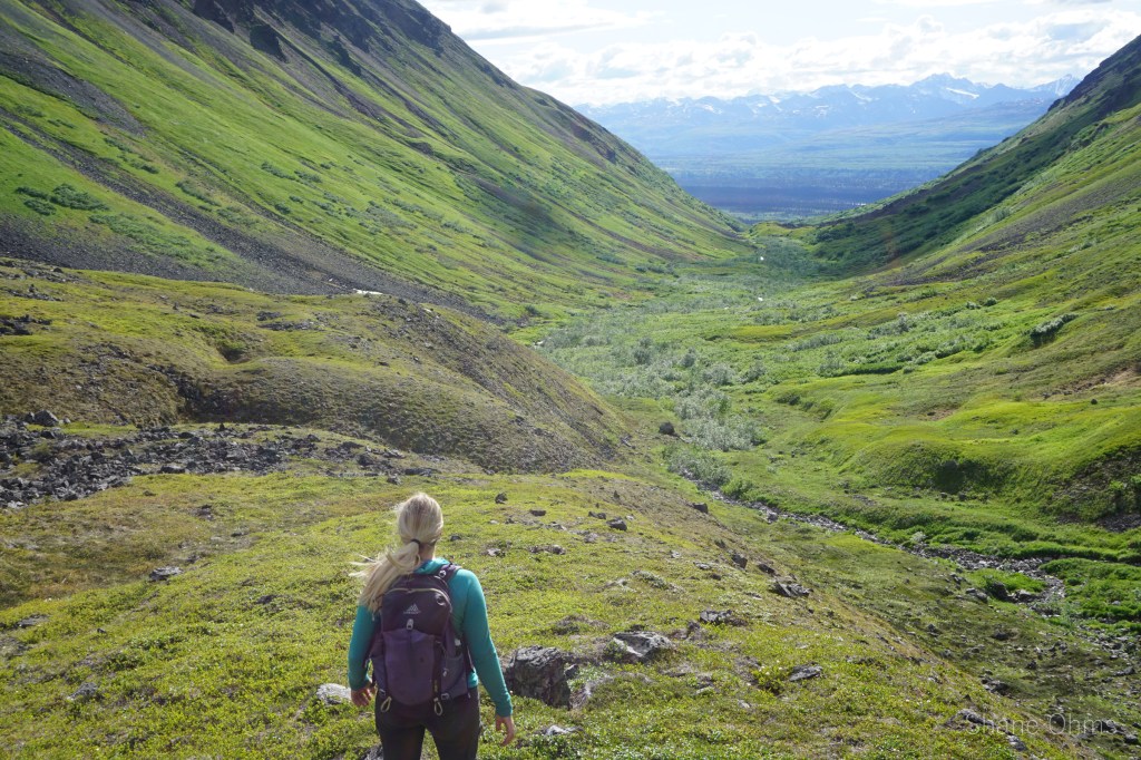
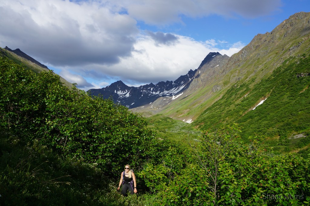
For this trip, we started with a boggy walk under power transmission lines, followed by a walk through open woods on an occasionally flagged trail. At one point, it brought us to a major bear baiting station (a caution if you go in times of active bear hunting). Fortunately, no bears were found. Next was the moose ‘trail’, which was pretty painstaking as we forced our way through dense, rigid alders. Next was the low shrub clearing (very nice), followed by some sidehilling on the caribou trails as the stream rose to meet us on our contour. Now we were in the tundra valley.
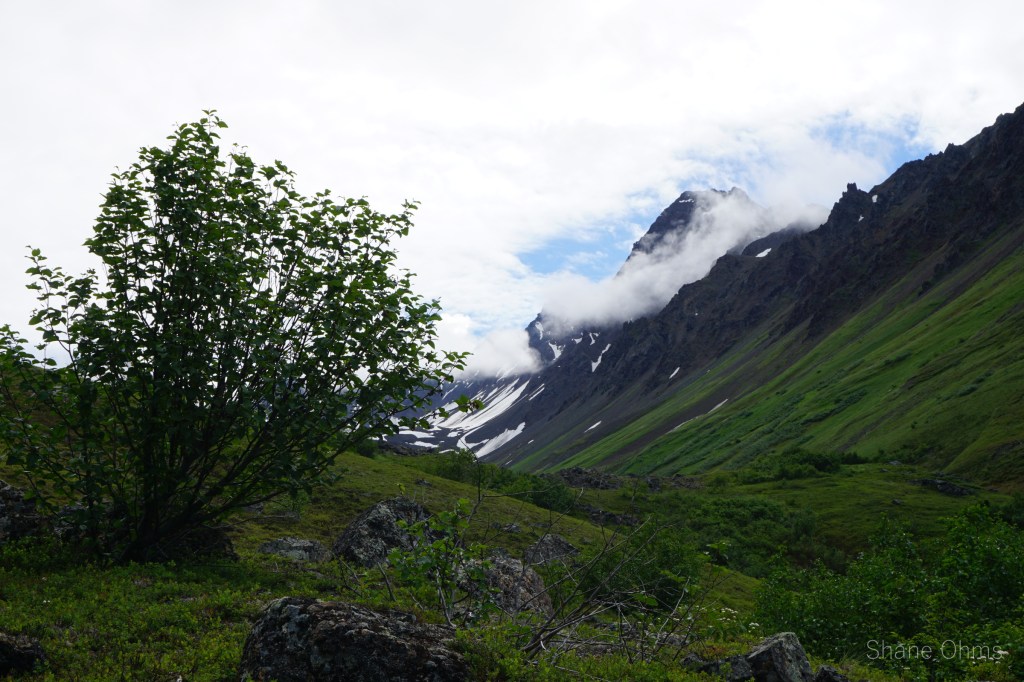
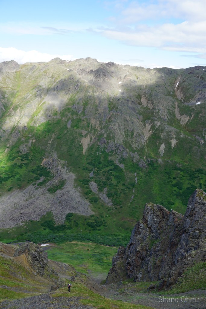
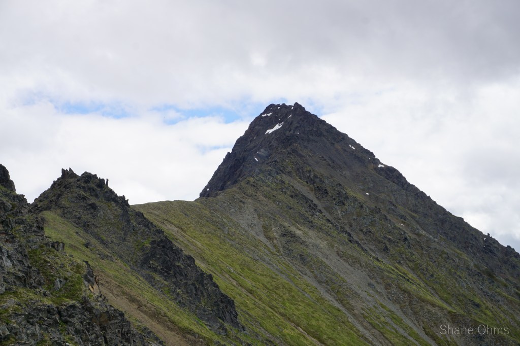
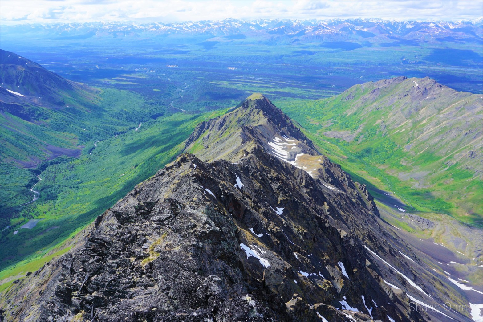
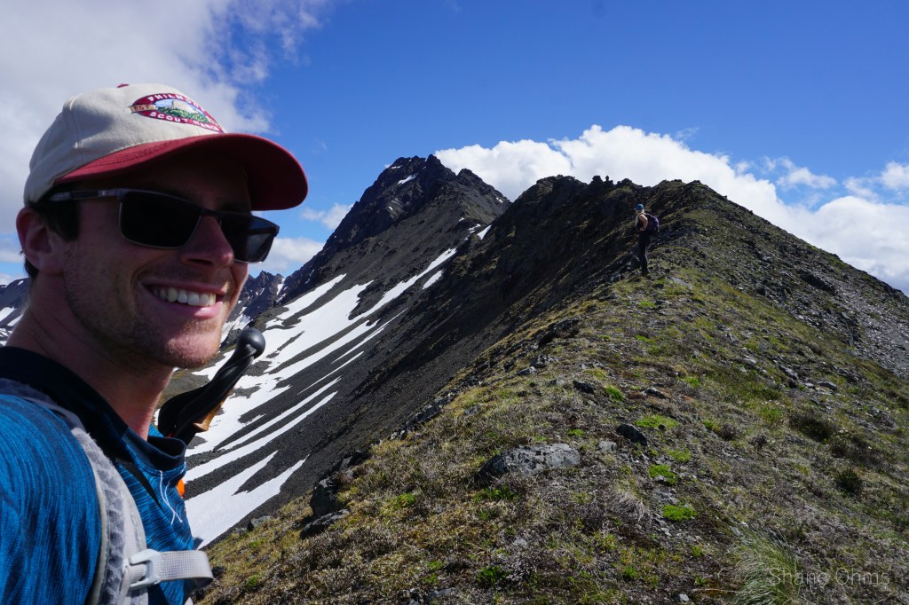
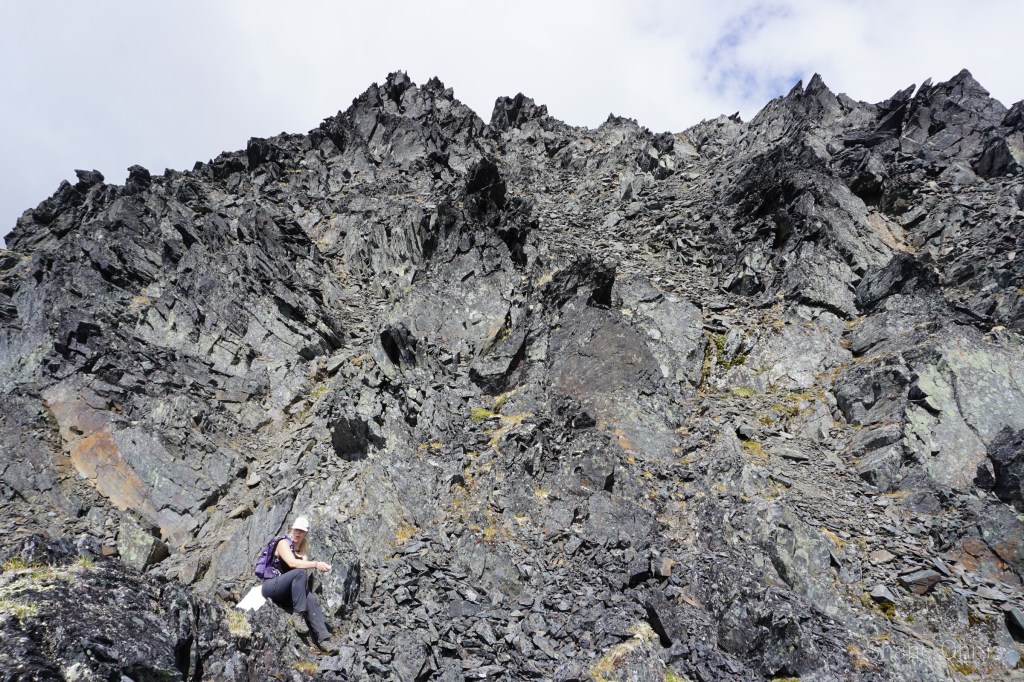
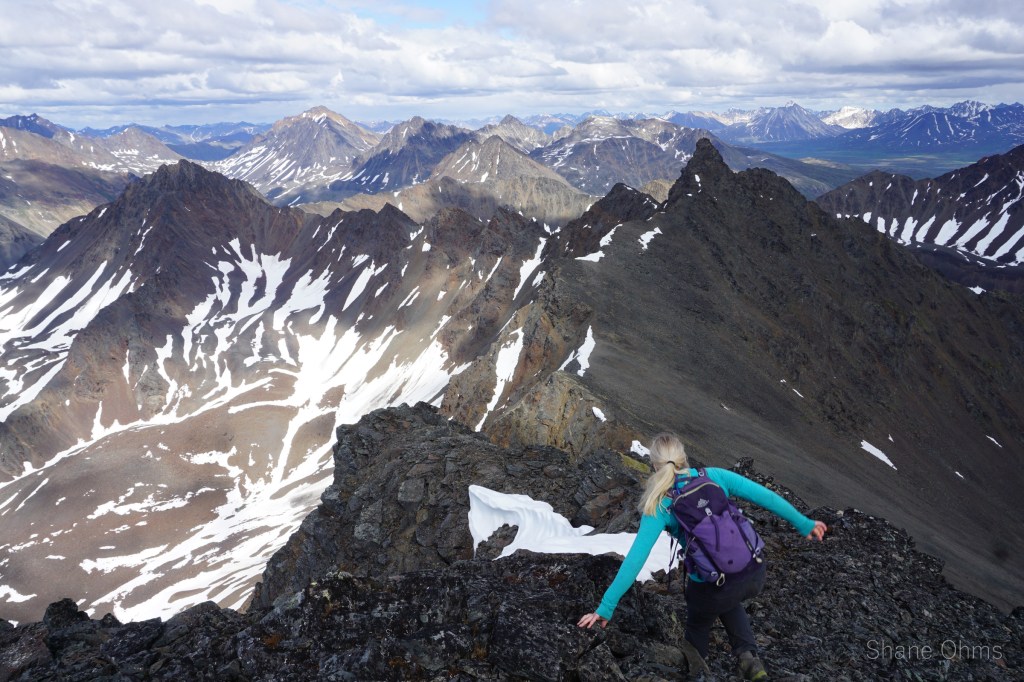
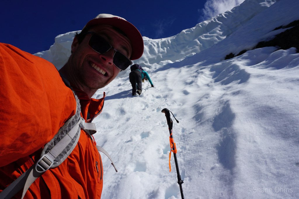
We walked up the valley a bit before taking the first convenient opportunity to gain the west ridge of Benench’iltledi. We hit the ridge at an elevation of 4000′. The west ridge, I had originally suspected, would be class 3 with some possible class 4. It turned out to be just class 3, (maybe a single move of class 4 but probably not even), and unlike the north side, the south side is not very exposed. So we tended to the south side whenever we strayed from the ridge to skirt an outcrop. This ridge is a very fun route.
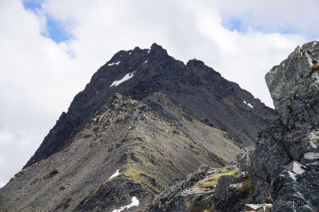
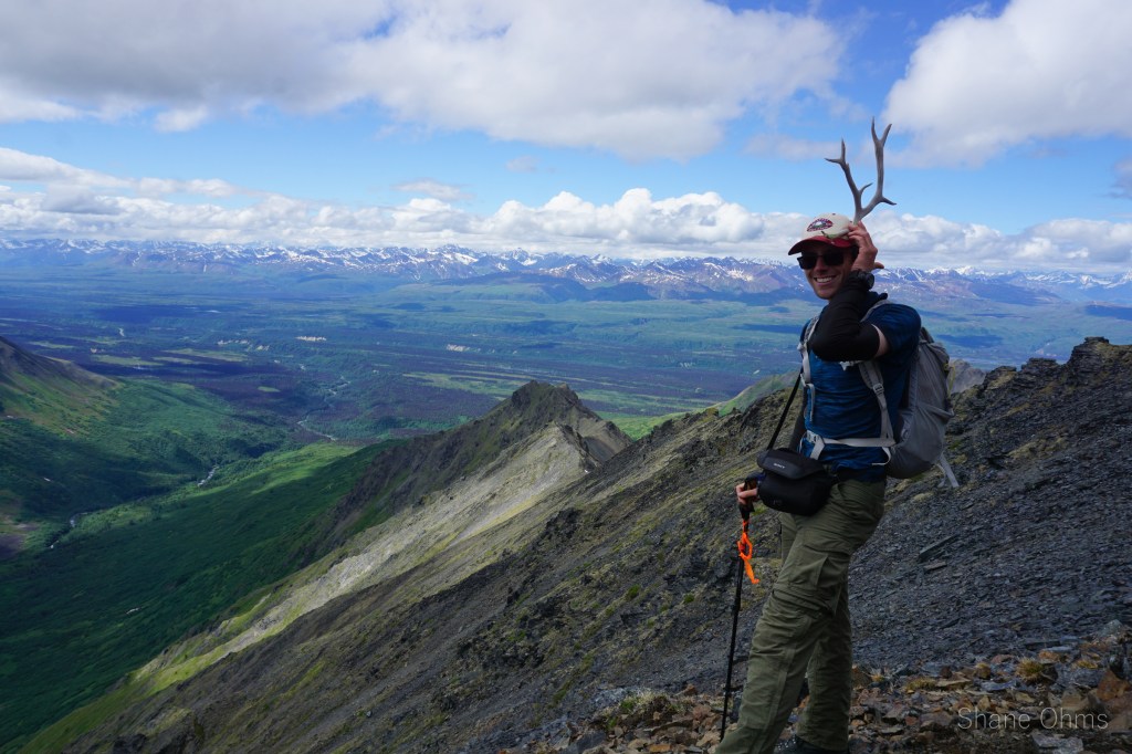
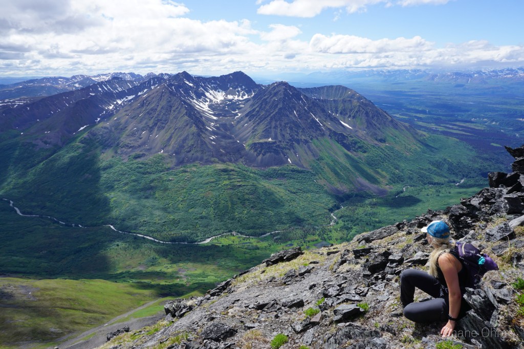
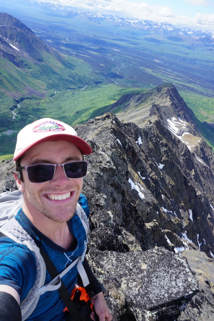
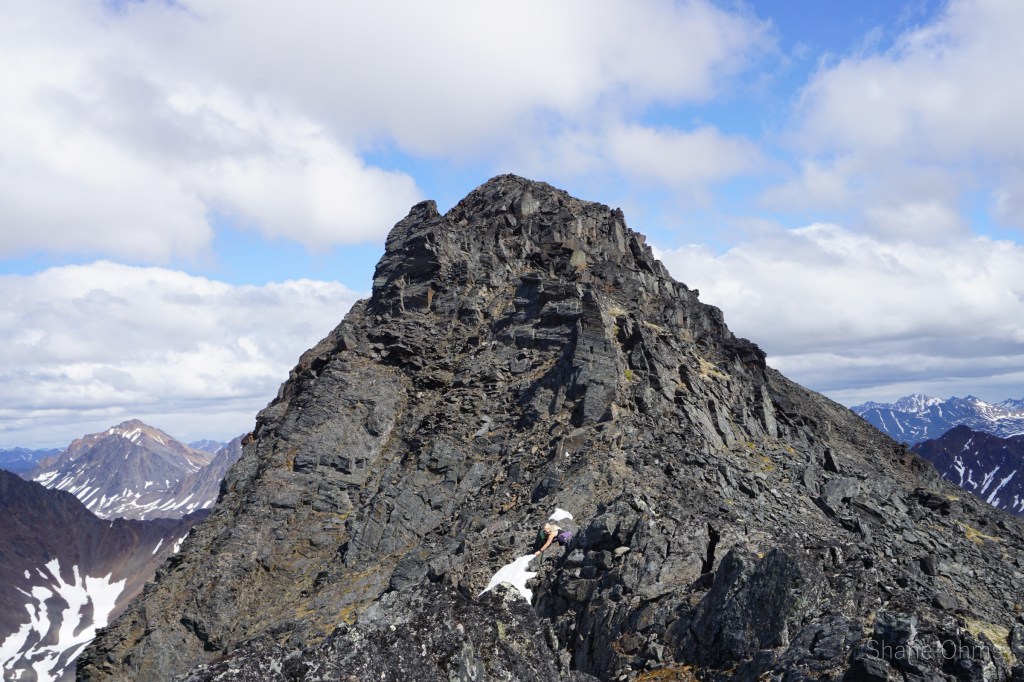
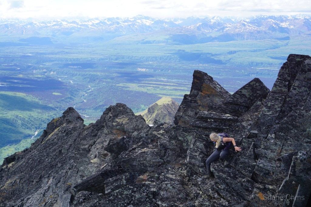
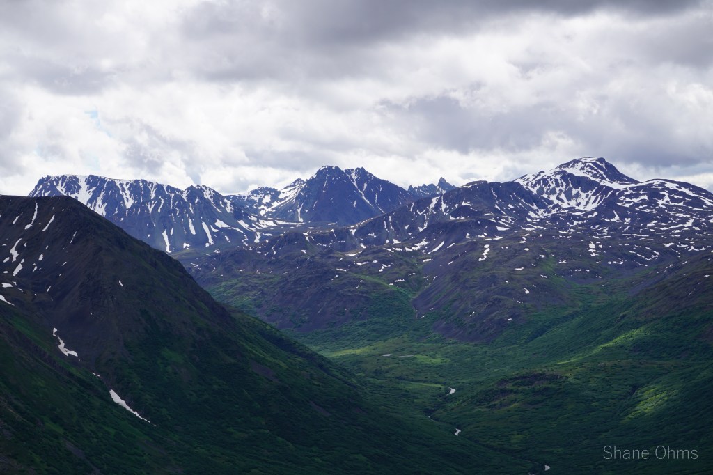
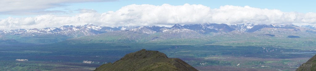
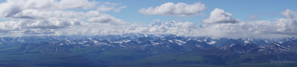
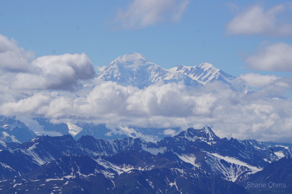
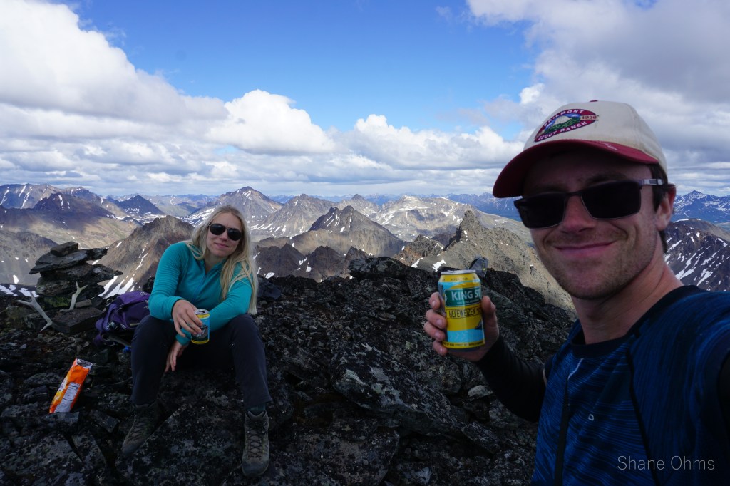
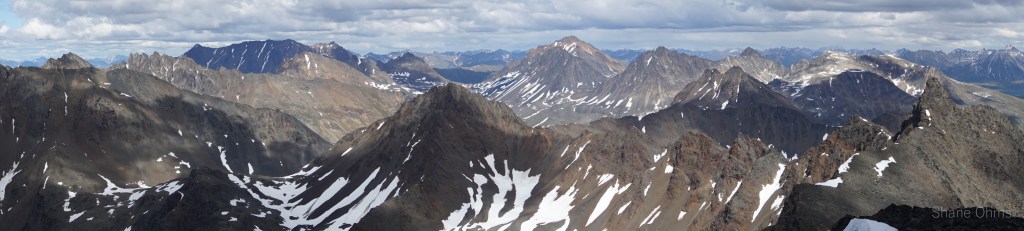
We summited at 4:30 pm, finding no signs of prior ascents on top. We built a carin fashioned with a caribou antler I’d found on the ridge 500′ below the summit. We enjoyed views of Denali, cool beer, and salty goldfish, and I took good pictures of the Elementary Peaks to the north for future use.
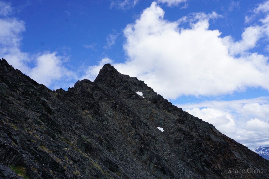
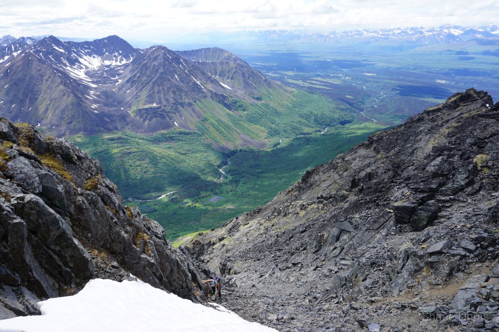
For the descent, I wanted to poke a gully on the north side a little ways further east on the ridge. If the gully was a go, it would save us decent time. If it didn’t… well, we’d just have to backtrack on the west ridge.
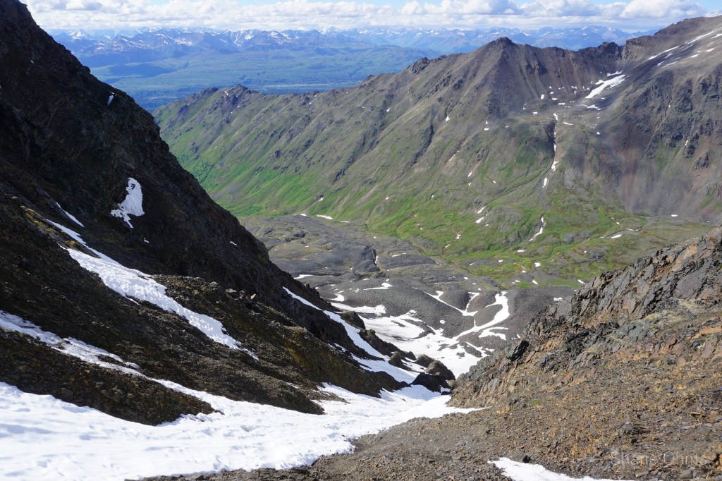
The gully was awesome. Had to get around a fat (~7′) cornice… and then we had to have that looming overhead in the heat of the day for a couple minutes as we went down. I thoroughly love good ‘boot ski’ conditions, and these were them. Boot skiing also saves the knees from impact on the descent.
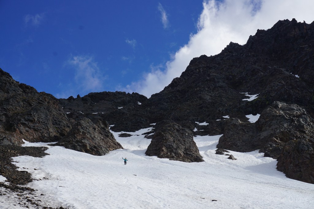
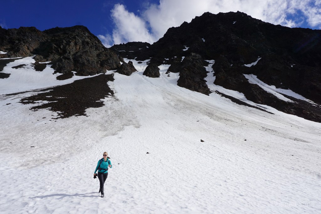
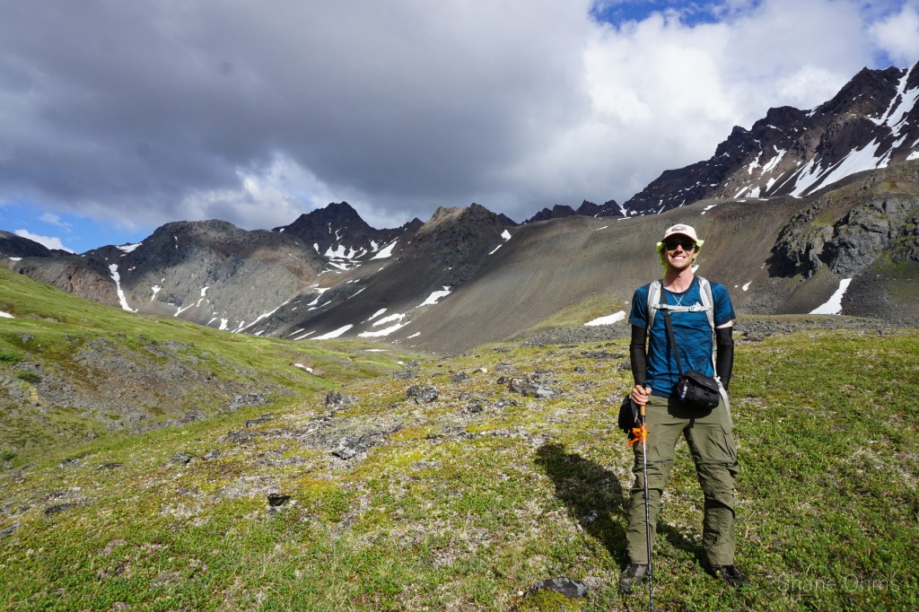
From here out, we followed the valley back to our approach tracks, and from there back to the car by the same way., and drove back north to Fairbanks. Now!… I saved the best picture for last.
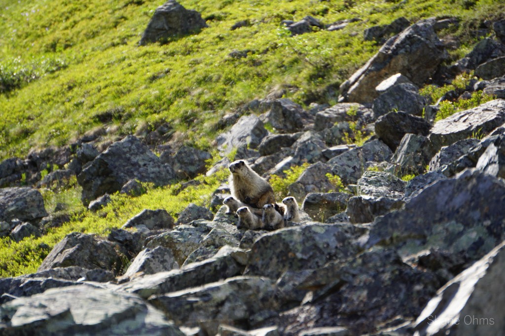
Before we exited the valley we had a golden moment when a marmot mama, followed by her 4 baby’s, came out of their home and posed for us in the sun! It was the most adorable thing ever!

One thought on “The West Ridge of Benench’iltledi Peak”