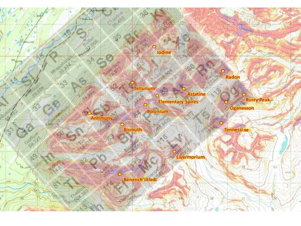
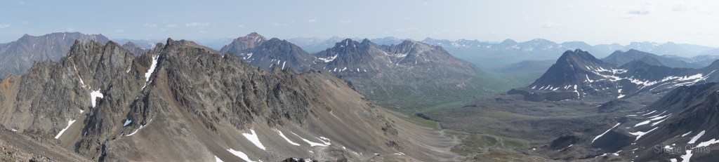
In 2019 I’d taken a liking to a particular cluster of mountains south of Cantwell that I’d deem as the “Elementary Peaks” based off an overlain periodic table revolving around the only printed peak name for miles; Antimony Peak. My friend Ian and I tried to ski one of them in April 2019, but it wasn’t the best of weather (video below). These peaks long sat for a full year till June 2021 when I went for Benench’iltledi Peak with Marianna Malory and succeeded in gathering needed recon photos ( https://fromrockstorivers.com/2021/12/27/the-west-ridge-of-benenchiltledi-peak/ ).
I figured I’d mull the pictures over for a year, but in July 2021 my weekend plans for 9800′ Black Cap in the delta mtns waivered on account of weather and I threw the Elementary Peaks into overdrive. Also making this possible, was a recent switch in my workplace to a 4-10 schedule; which provides a 3 day weekend template I rather like: 1 day in, 1 day to mess around, and 1 day to get out.
Friday, July 16 2021
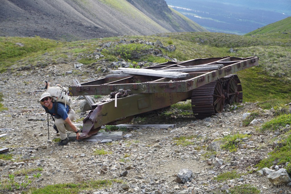
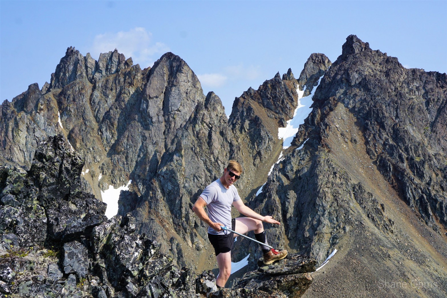
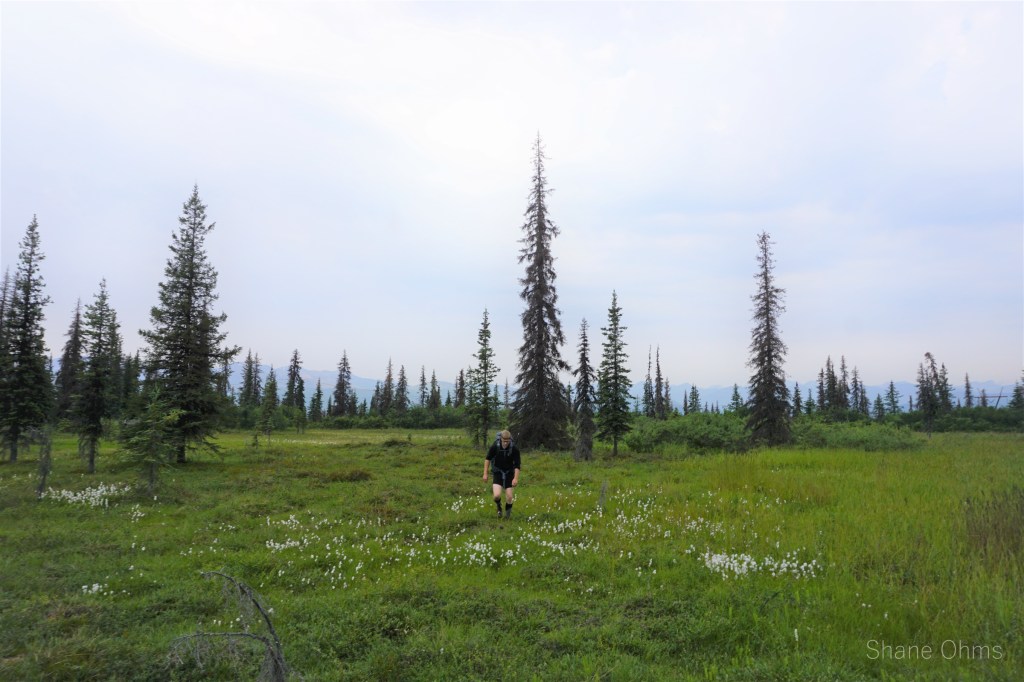
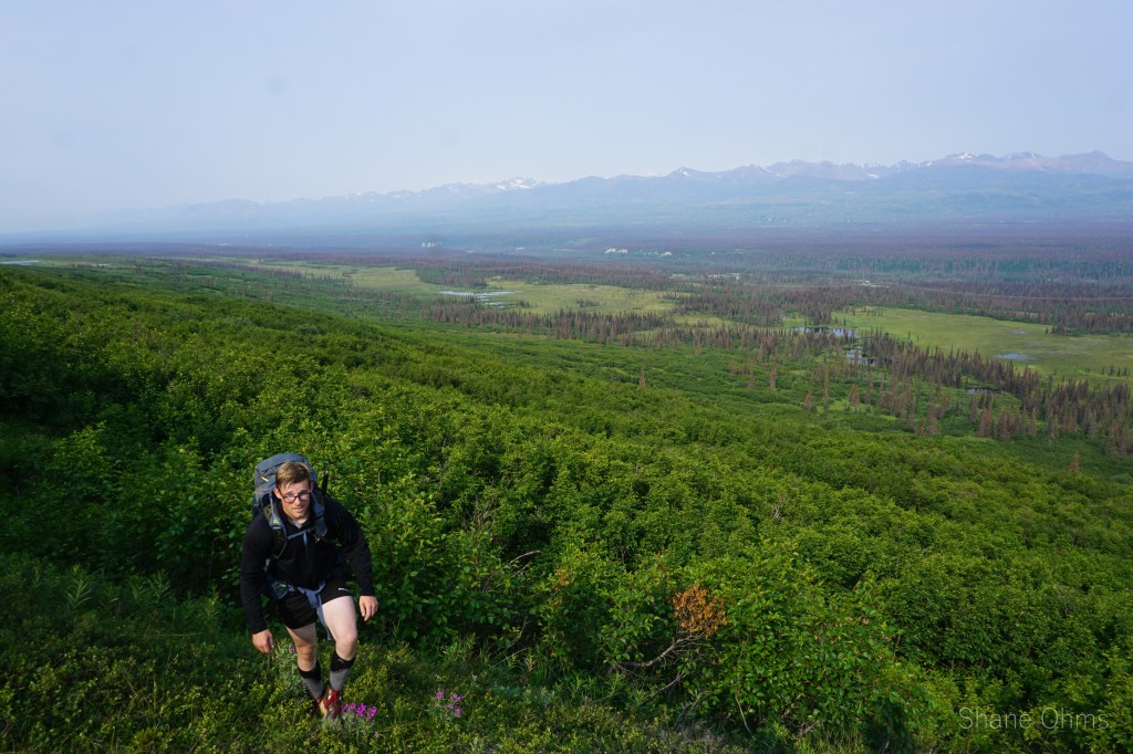
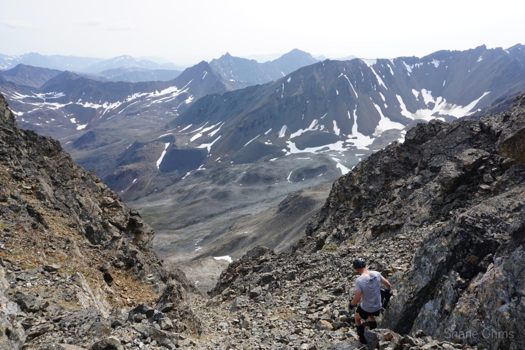
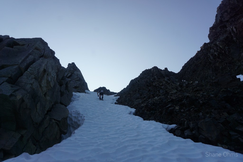
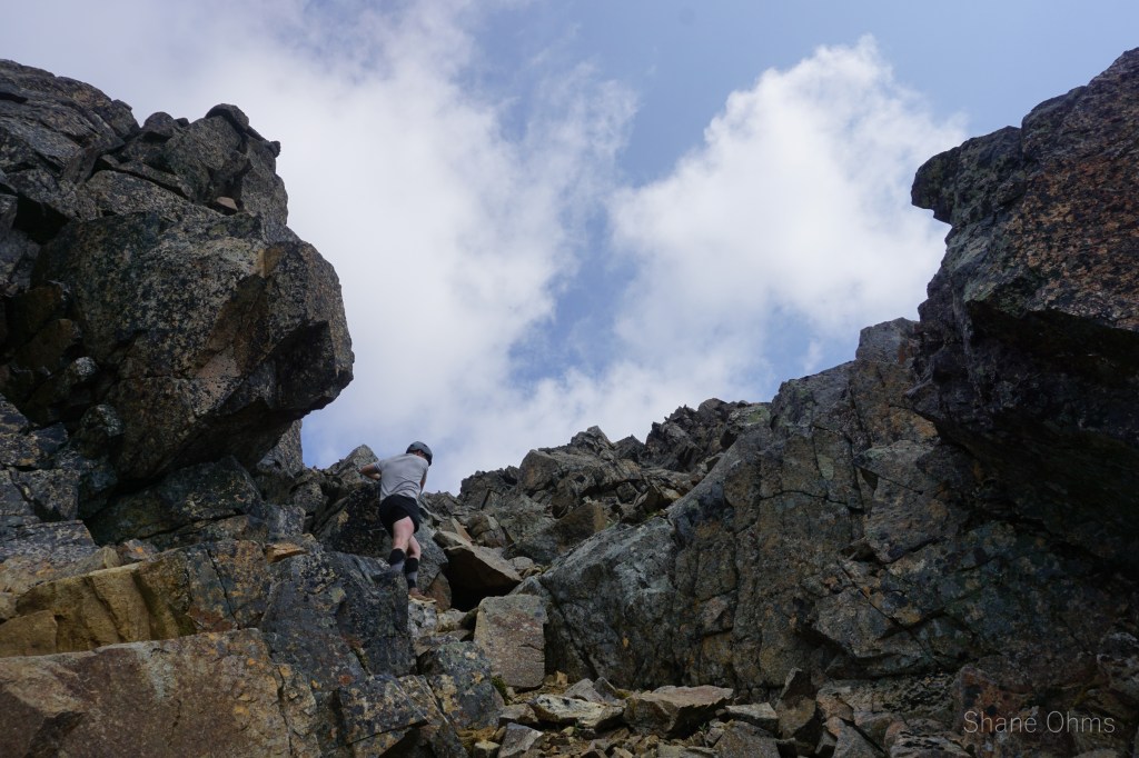
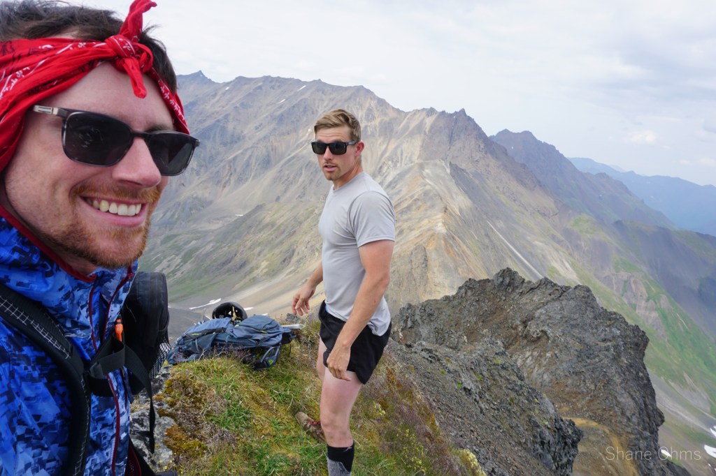
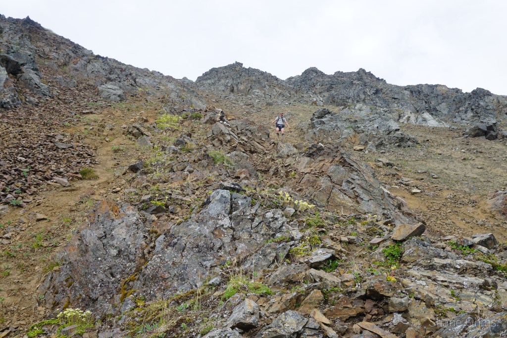
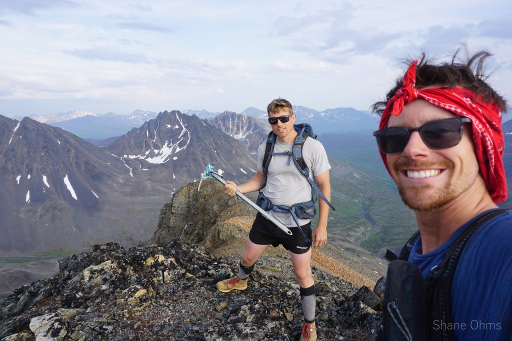
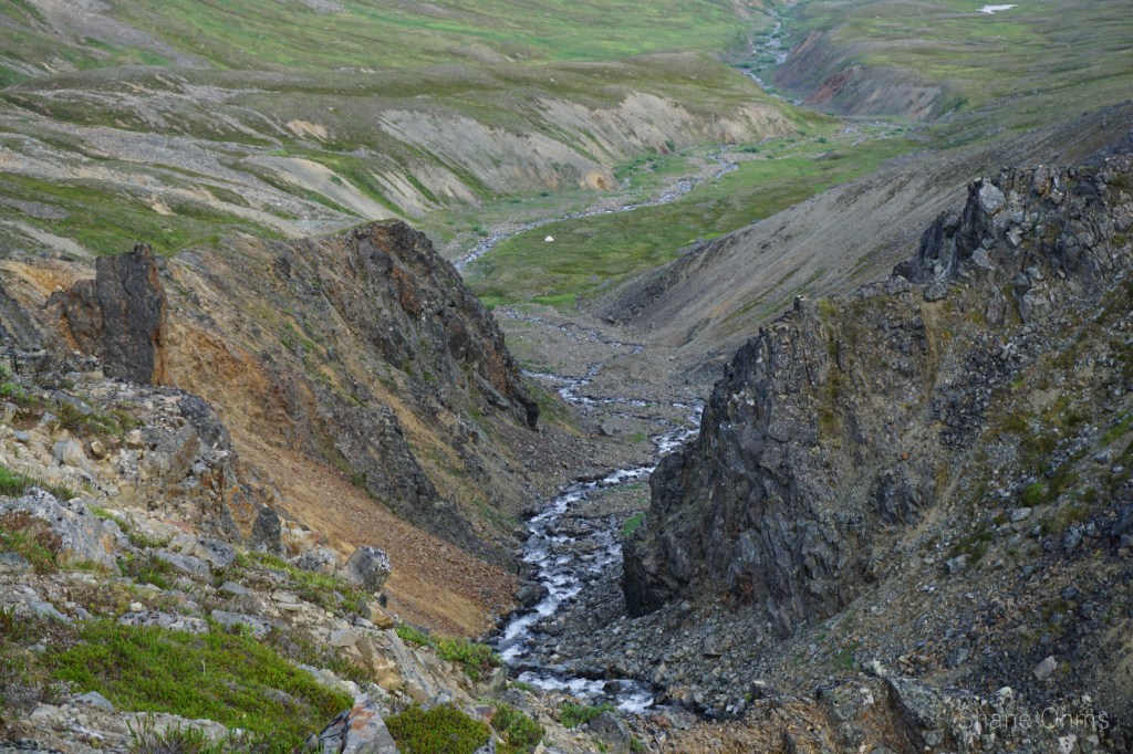
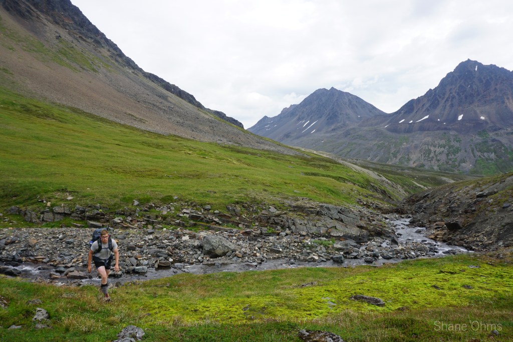
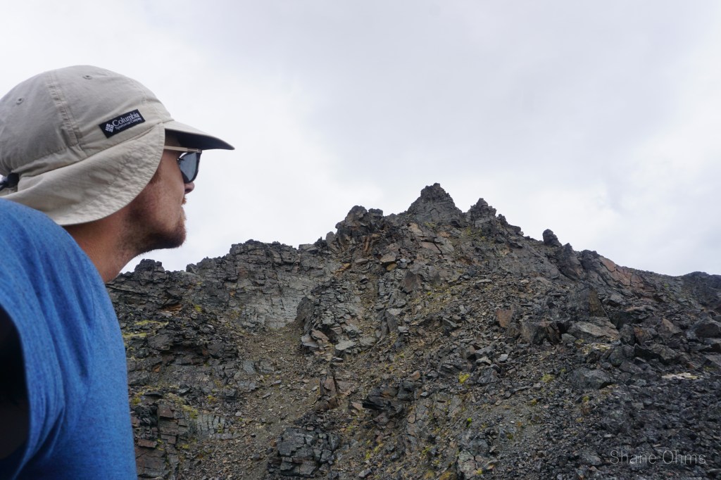
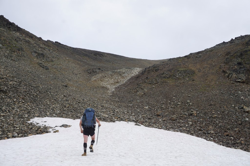
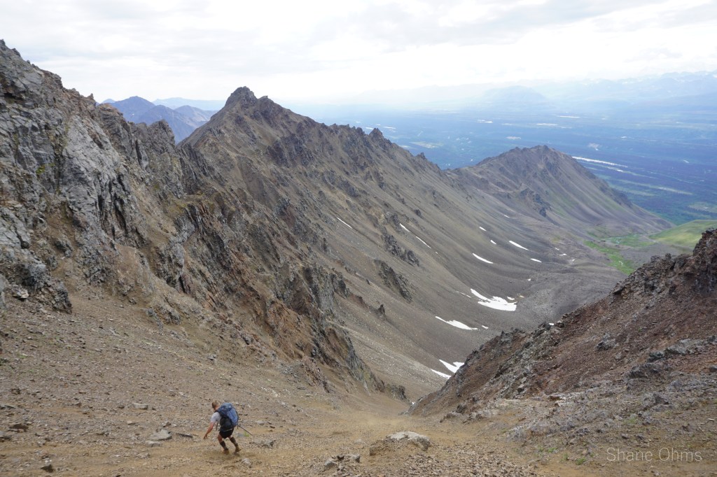
Early in the morning, Rowland Powers and I drove south to Cantwell where our trip would begin at some pullout about 2 miles NW of Antimony Peak. Our trajectory was schwacking due east into the rock glacier north of Antimony. The schwacking was substantially harder than I had estimated: so unpleasant, in fact, that it would ultimately lead us to plot an alternative exit just to avoid repeating it. Mosquitos and a HOT July sun weren’t helping any.
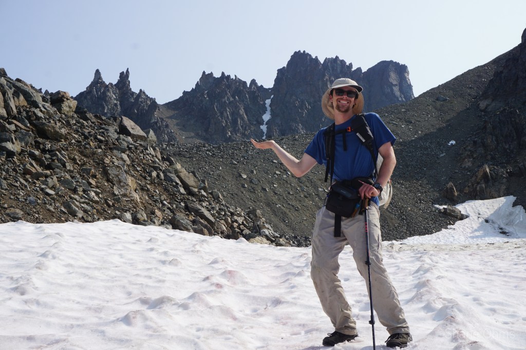
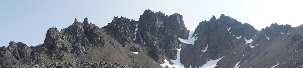
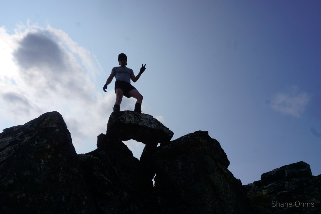
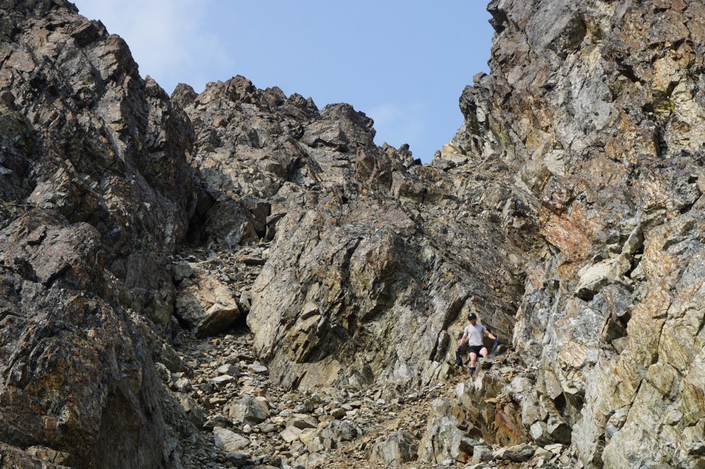
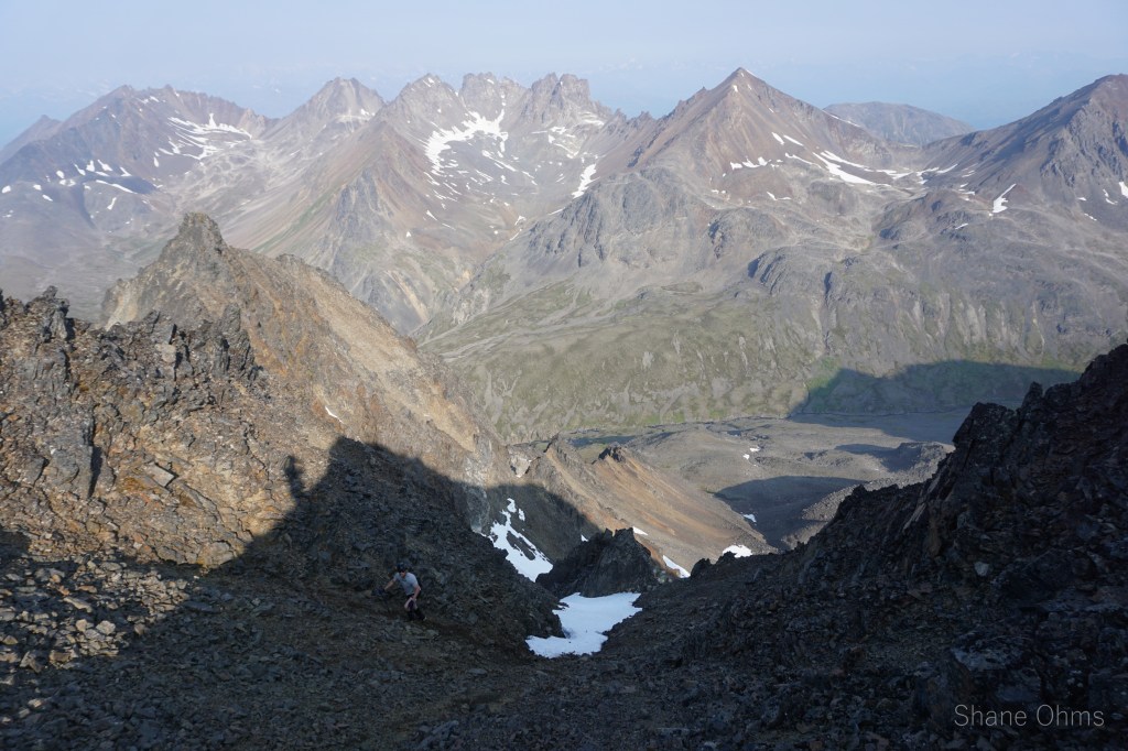
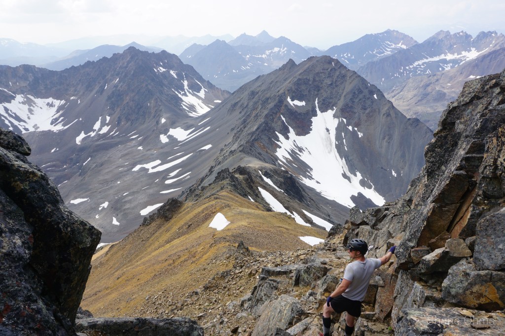
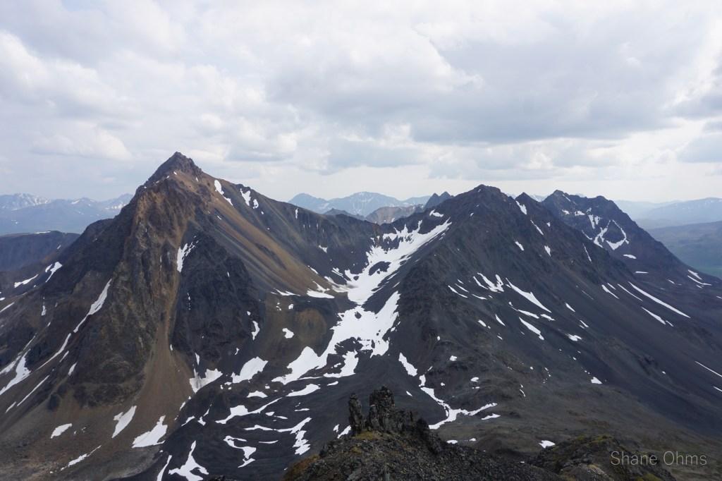
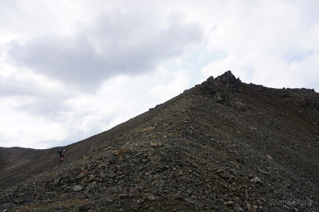
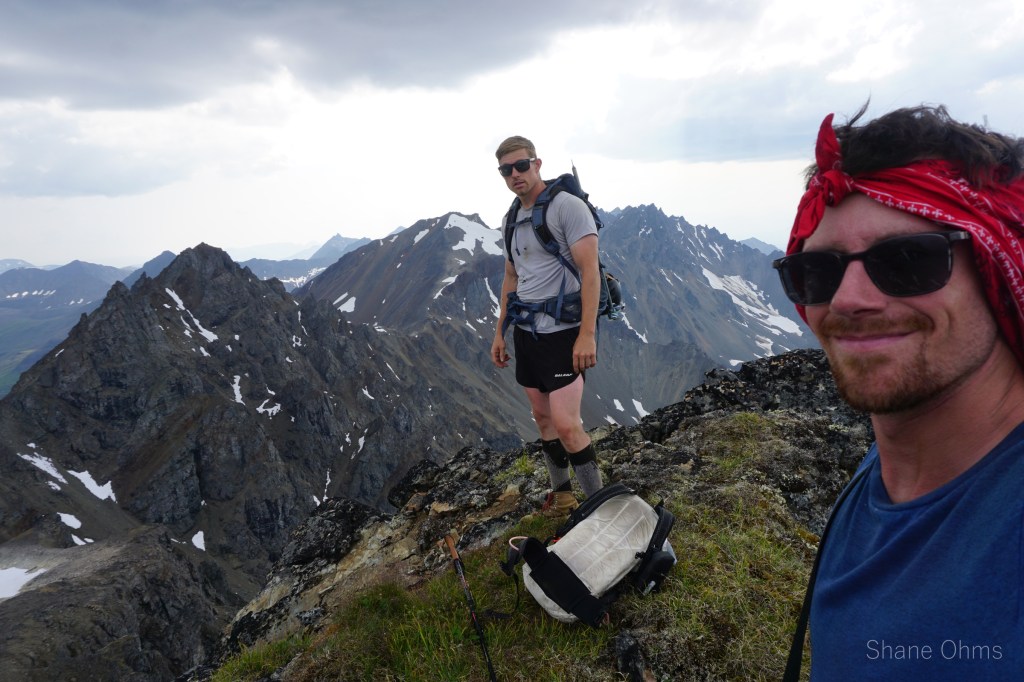
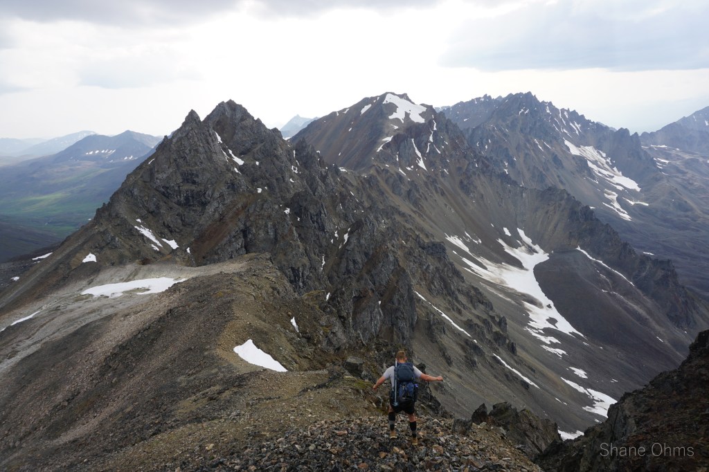
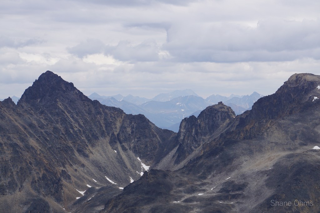
We wrapped around Polonium Peak and ascended up to the saddle between it and the Elementary Spires. At this saddle, we dropped our packs and traveled unweighted up Polonium’s East ridge. No signs of prior ascent were found, and I left behind a summit registrar. Over the course of the trip, the views would become ‘more of the same’, but for now they were amazing and fresh.

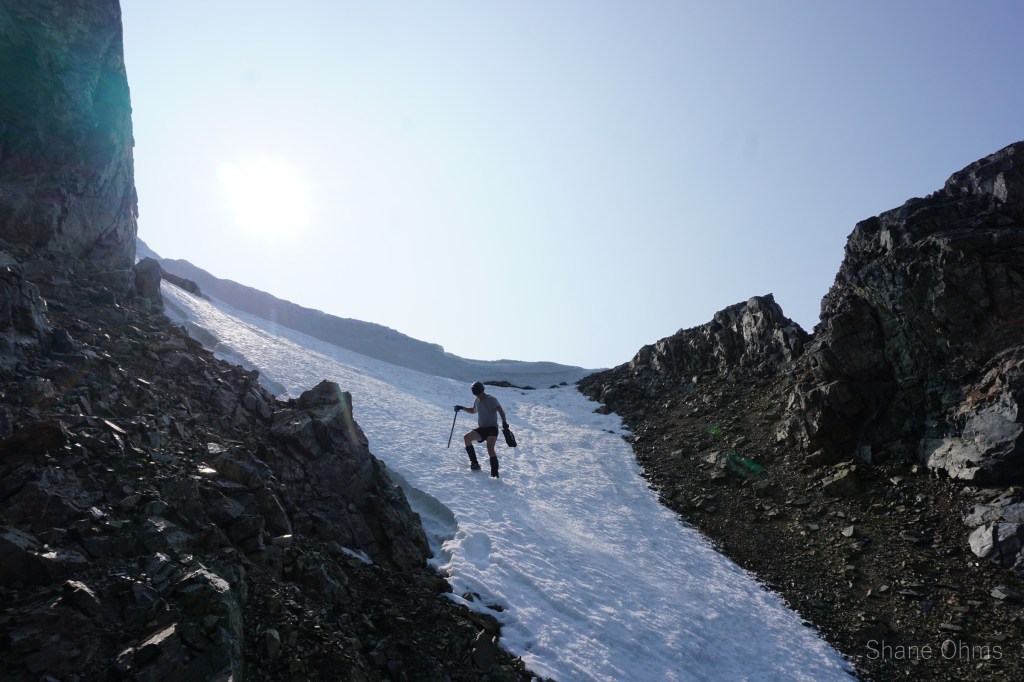
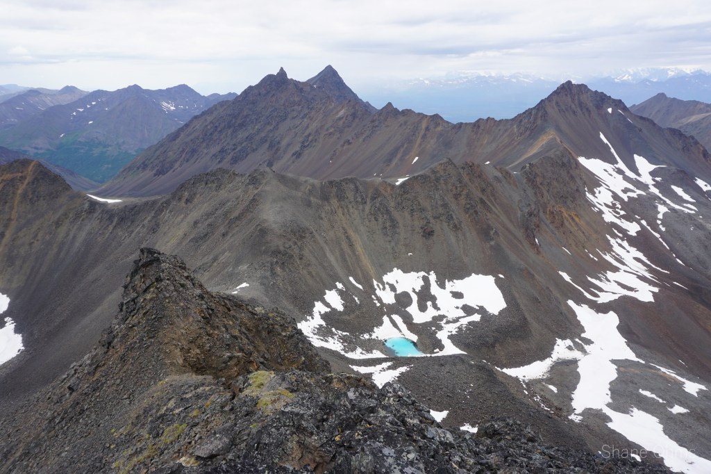
Next we set our sights on the nearest of the Elementary Spires, a western snow chute that led up to about 50′ from the summit, and the final 50′ weren’t bad either. No sign of prior ascent atop. At the trips end, my GPS would find 496′ of prominence from Polonium Peak. So if the Southern Spire isn’t a peak, its very close. From atop the Southern Spire, the Northern one appeared to be lower (though boasting more of a rock climbing challenge). Purely for sake of variance, we descended via a south facing gully (the snow chute was much cooler).
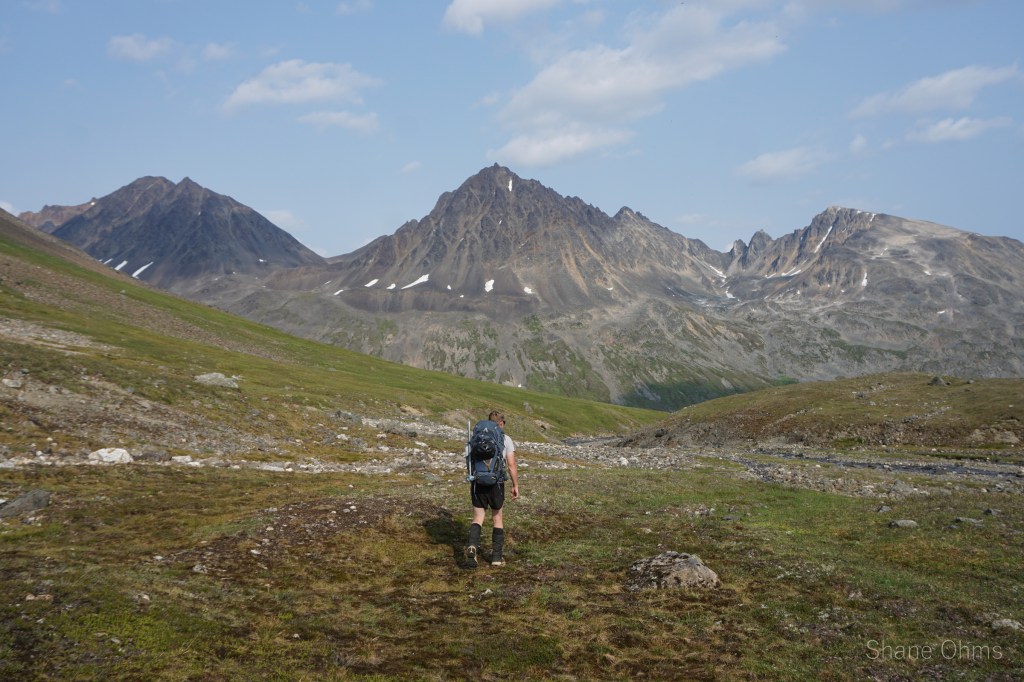
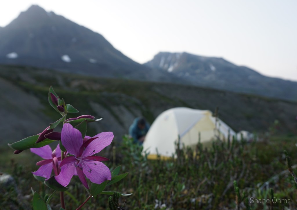
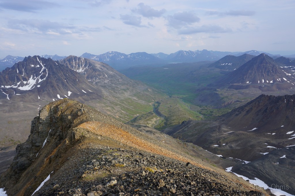
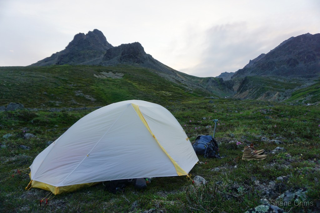
After grabbing our packs, we went down to the headwaters of Honolulu Creek, setting up camp at the end of the Southern Spire’s east ridge. We’d done 2500′ with packs and another 1000′ without, 7 miles total. It had been a light first day.
Saturday, July 17th 2021
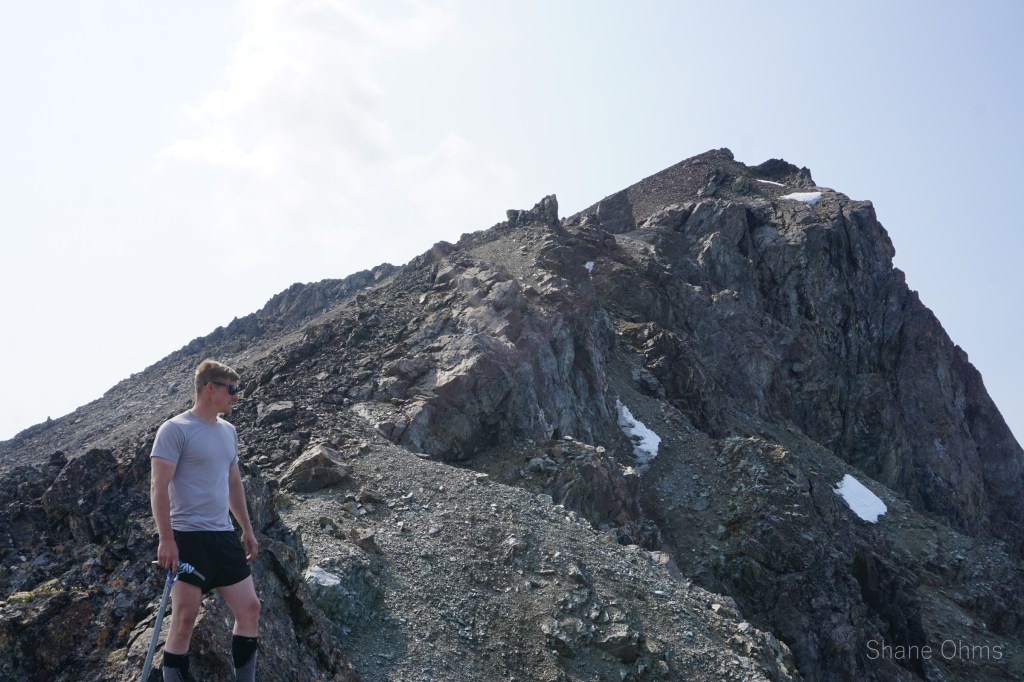
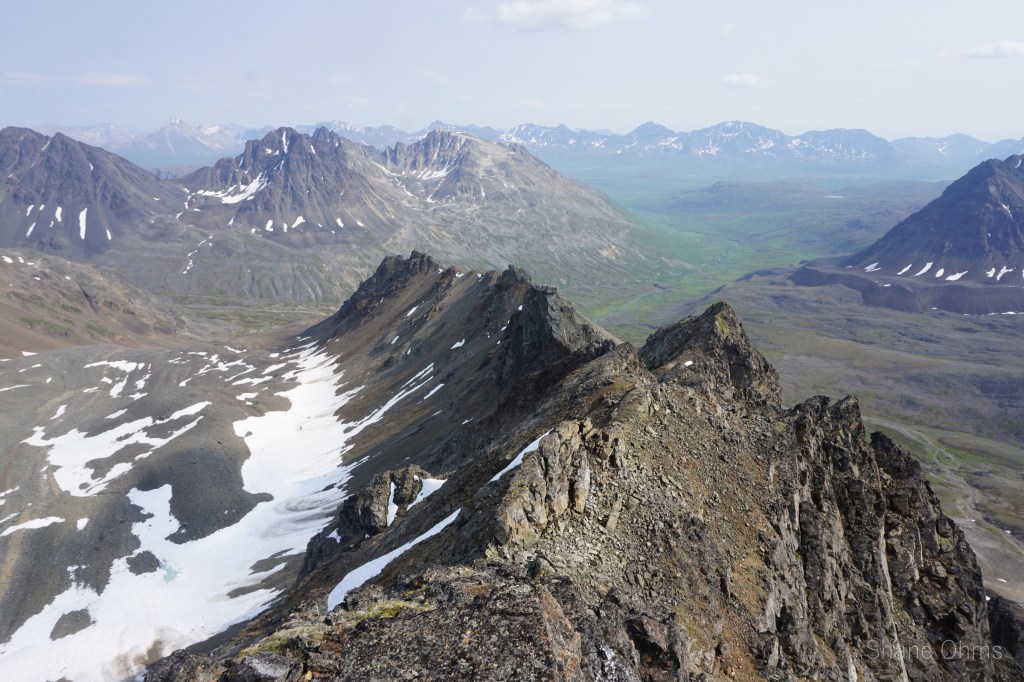
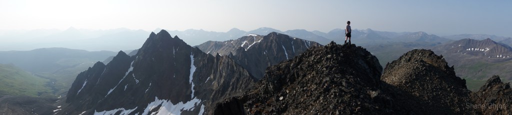
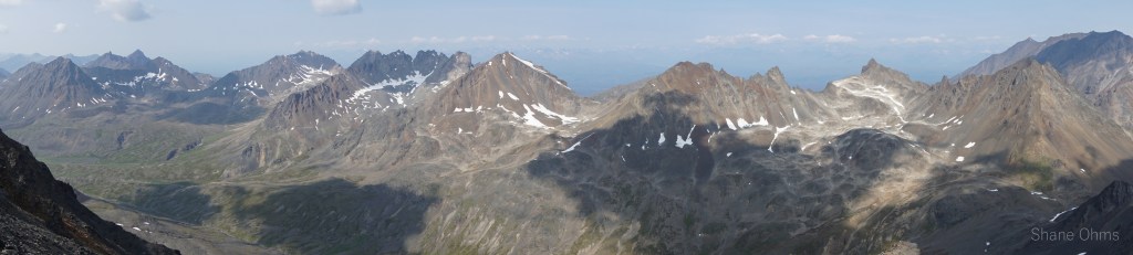
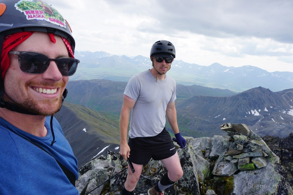
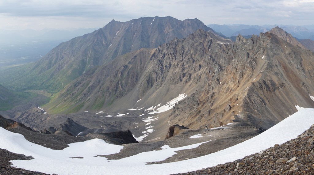
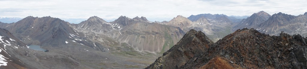
Day 2: the day to mess around. In the end, we would do a 7 mile, 6500′ vertical counterclockwise loop of Tennessine, Oganesson, Rusty, Radon, and Astatine Peaks.
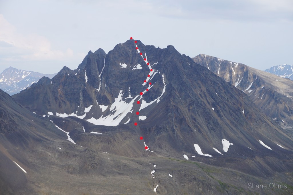
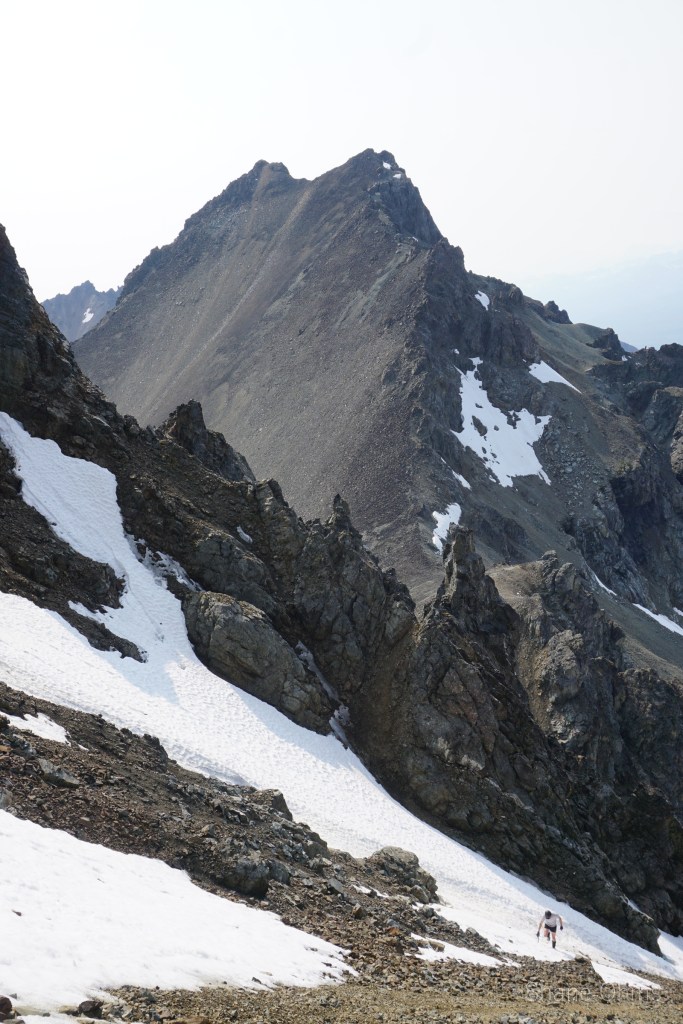
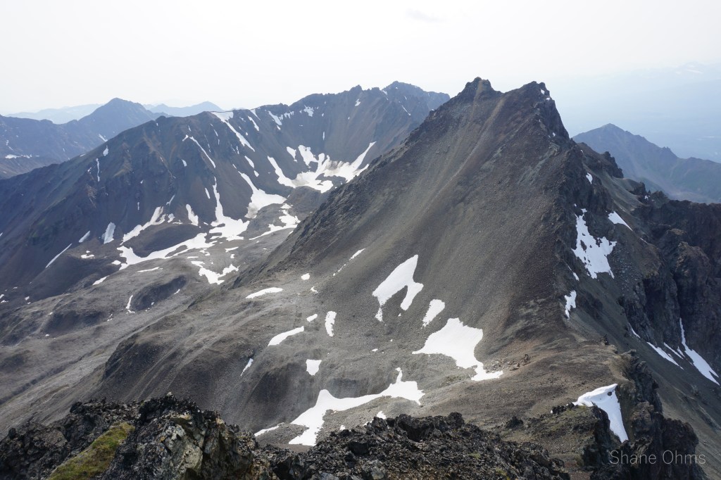
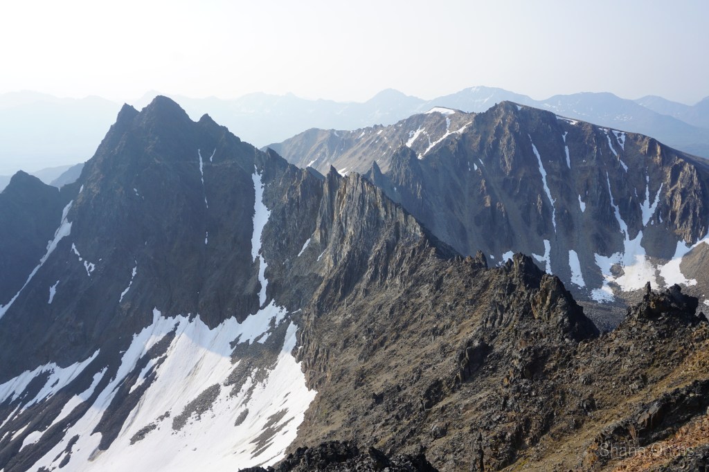
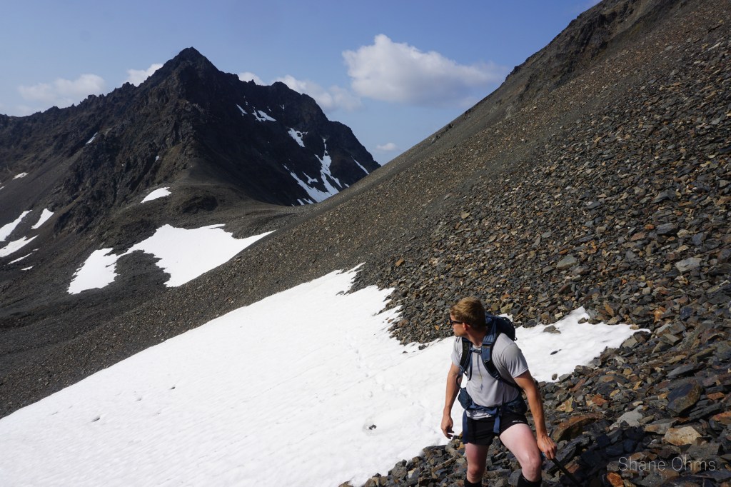
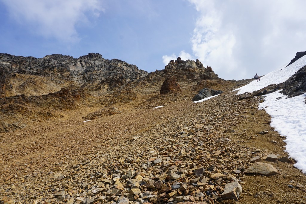
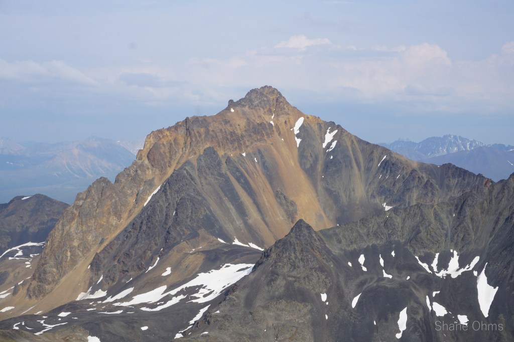
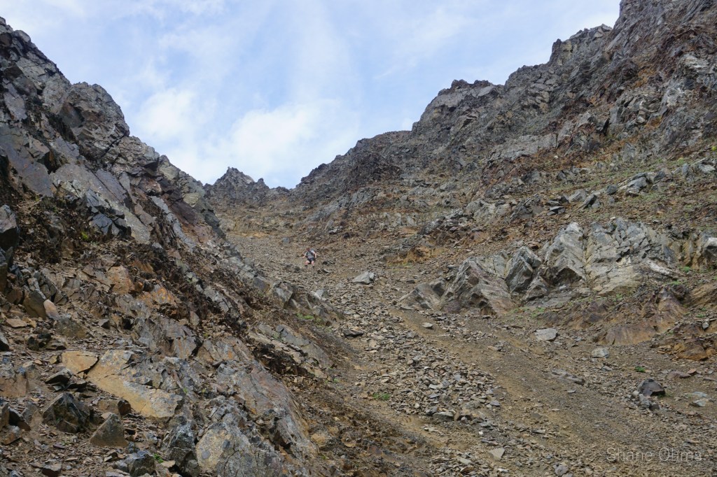
Starting for Tennessine Peak we plotted. We had seen the upper run of its north couloir from the elementary spire, but were unsure of the bottom half, or if the gradient would be too steep (rowland had axe and crampons, I had kathoolas and treking pole). Either way, it looked more promising than the west ridge (which I’d originally guessed as a route). Well, we crossed Honolulu Creek, went up and rounded the corner to see the bottom half of the Tennessine’s north couloir. It looked like a go!
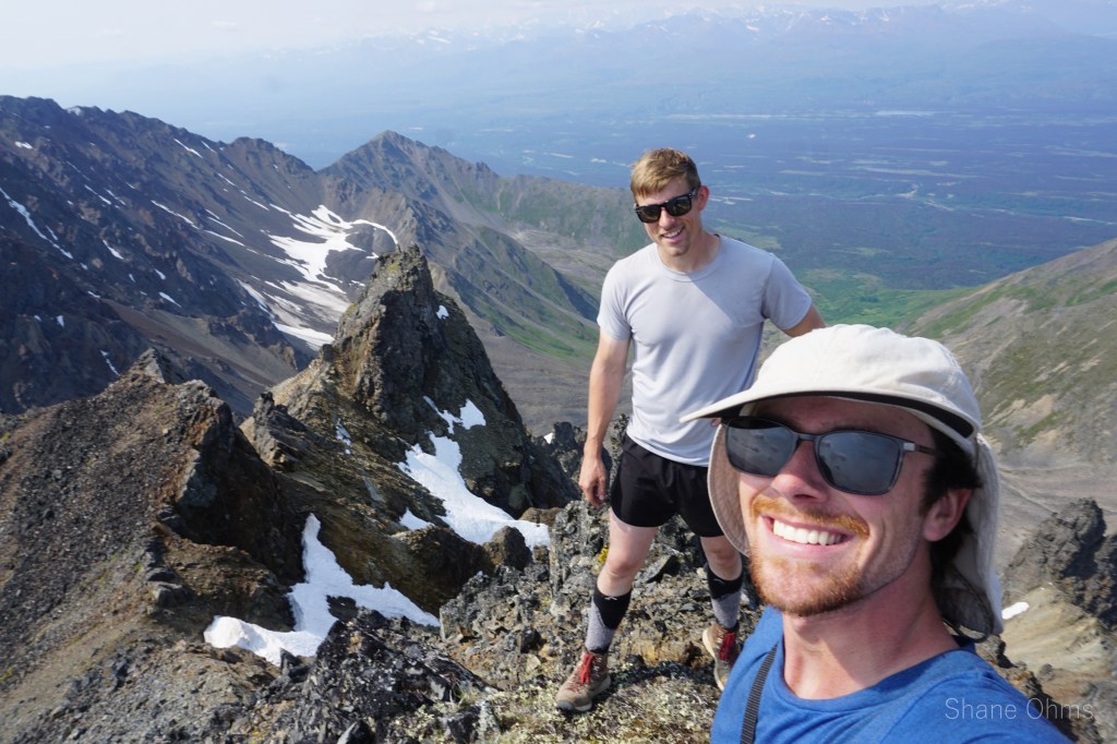
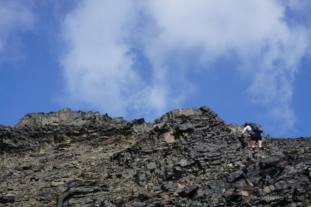
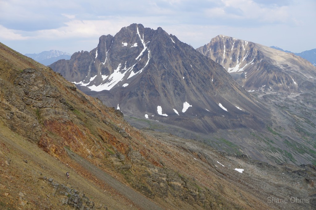
The steepness was nice. Clean and shaded. Not mentally taxing, but far from boring. It was a wonderful line though, and the only section of the trip lending itself to the Rowland’s ice axe. Unfortunately, couloir hungry Rowland wouldn’t get many couloirs besides this one in Summer 2021. Nor did 2021 have any packrafting or 9000’ers: my two biggest regrets of 2021. I’ll do better in 2022. Anyhow, thats enough reflection for now; from the top of Tennessine Peak we looked over to a southeastern point of similar contour line. We believe we were higher, but they seem close in height. No sign of prior ascent found. We reversed our route, then topped off our water in a meltpool between Tennessine and Oganesson. Water was a hot commodity out here in July.
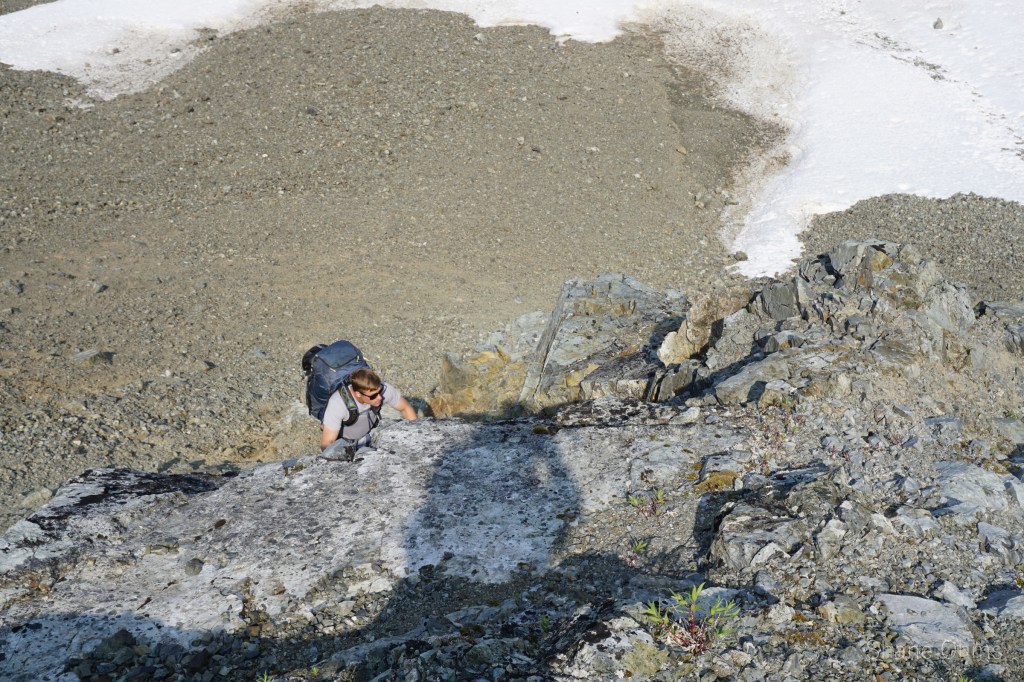
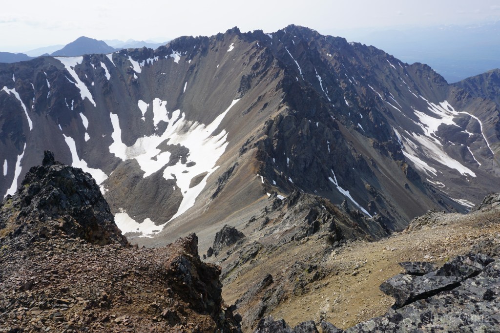
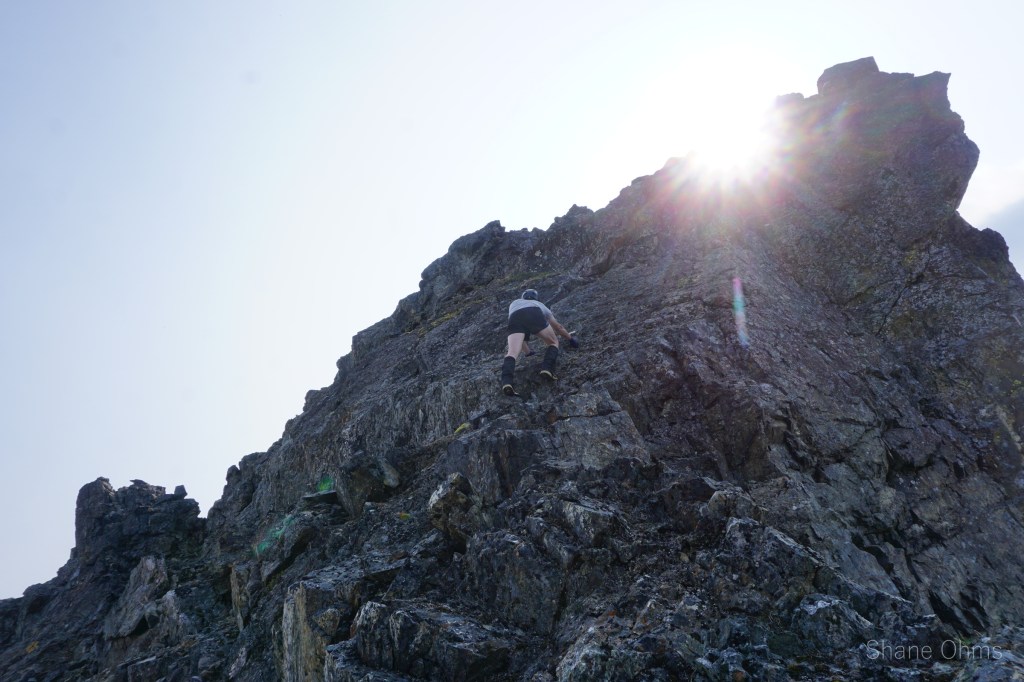
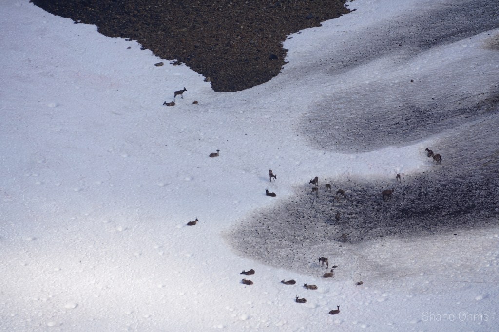
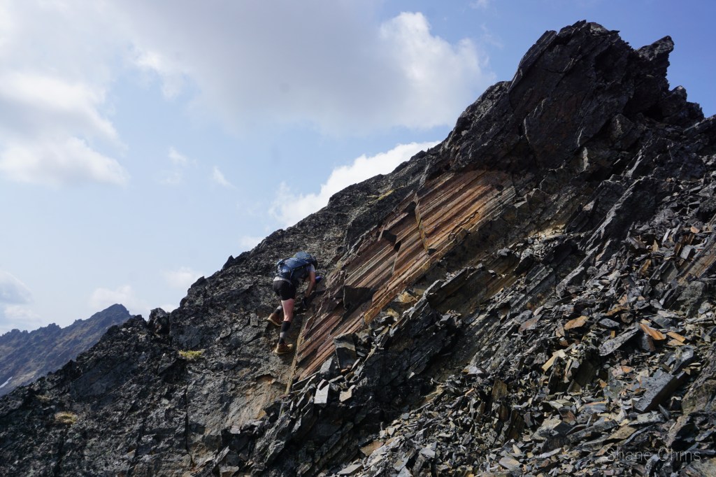
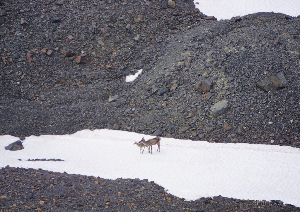
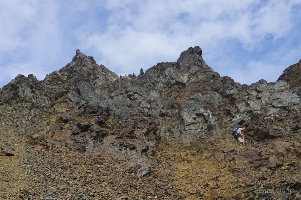
For Oganesson we took the SE face. This SE face and the following descent of it’s East Ridge, would be the most scrambly terrain we covered on the trip. But we shimmed and clawed, hee’d and haw’ed and made it atop. Again, no prior ascents found. Below the peak some caribou were enjoying the coolness of the snow in a high bowl. Unfortunatley, we would be kicking them out upon the eventual descent of Rusty Peak.
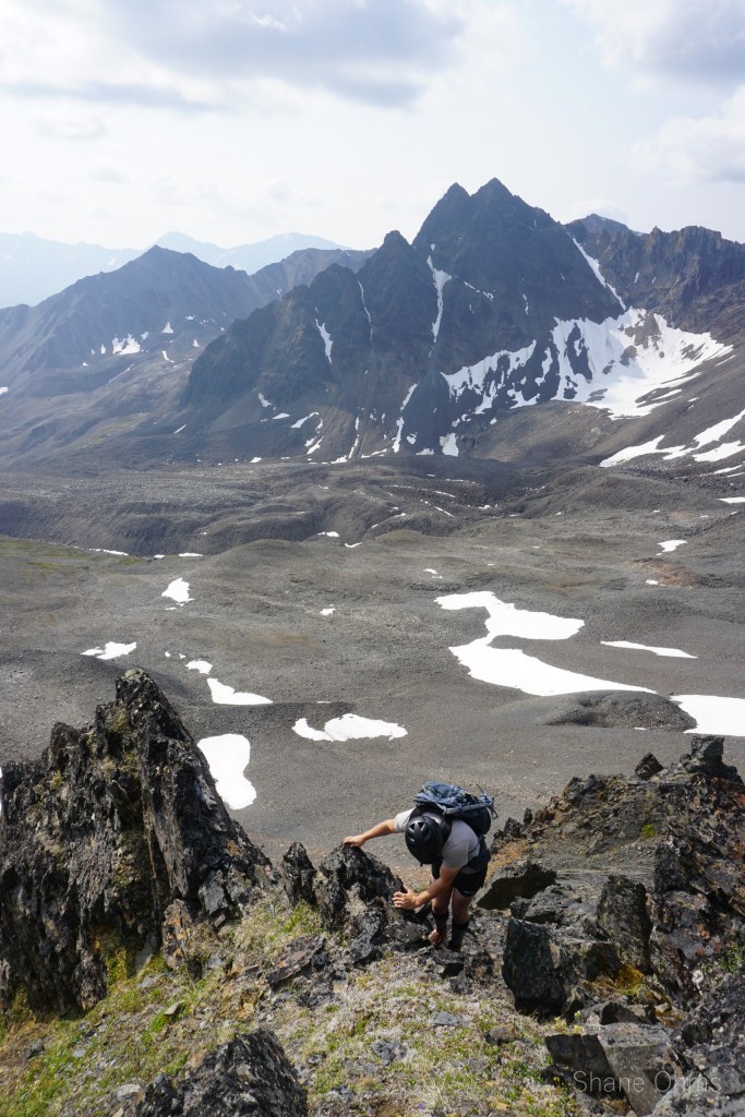


Oganesson has only 480′ of prominence by optimistic contour line counting. Since I didn’t stop to read the elevation of its saddle, I have no measurement of my own. All I can say is that in the process of descending this scrambly ridge, it sure felt like it earned that 500′ ticket to being a real peak!
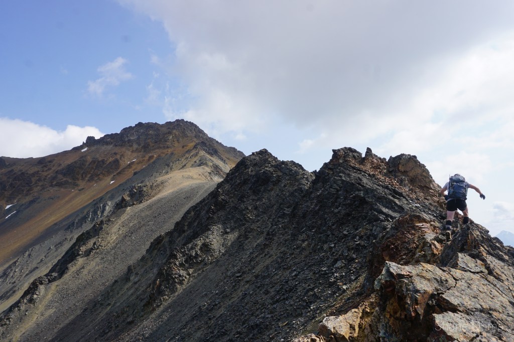
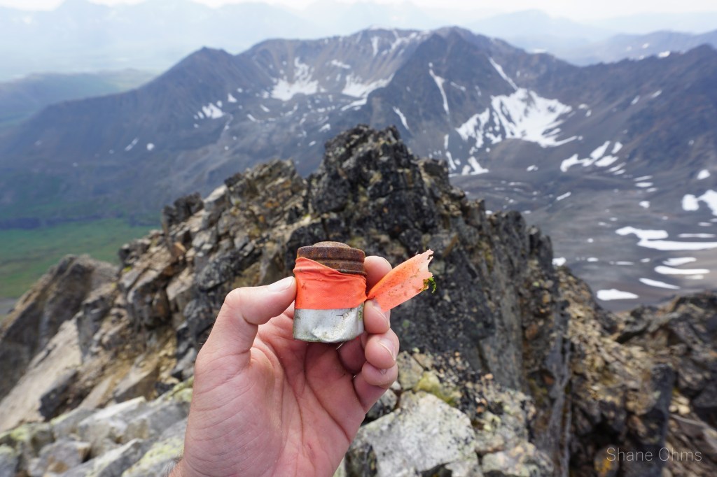
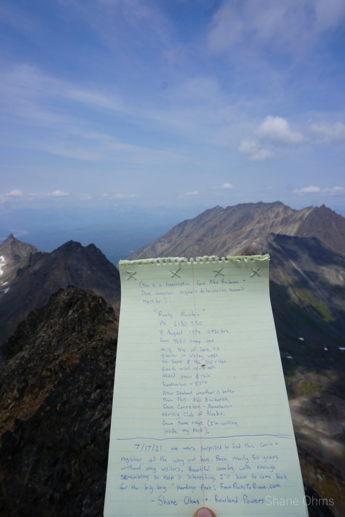


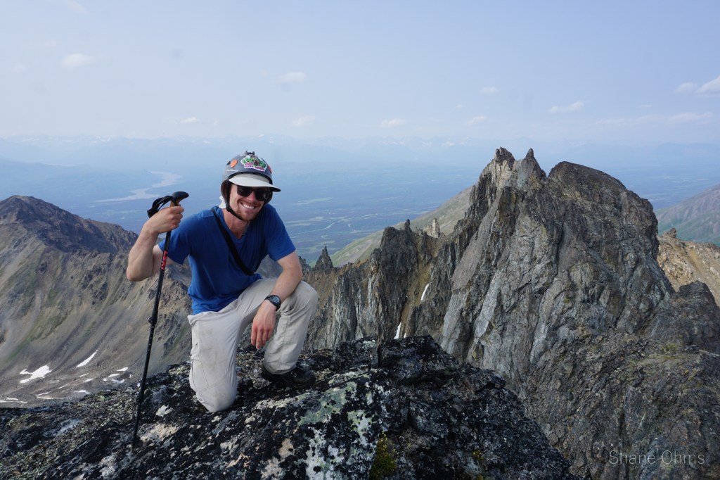
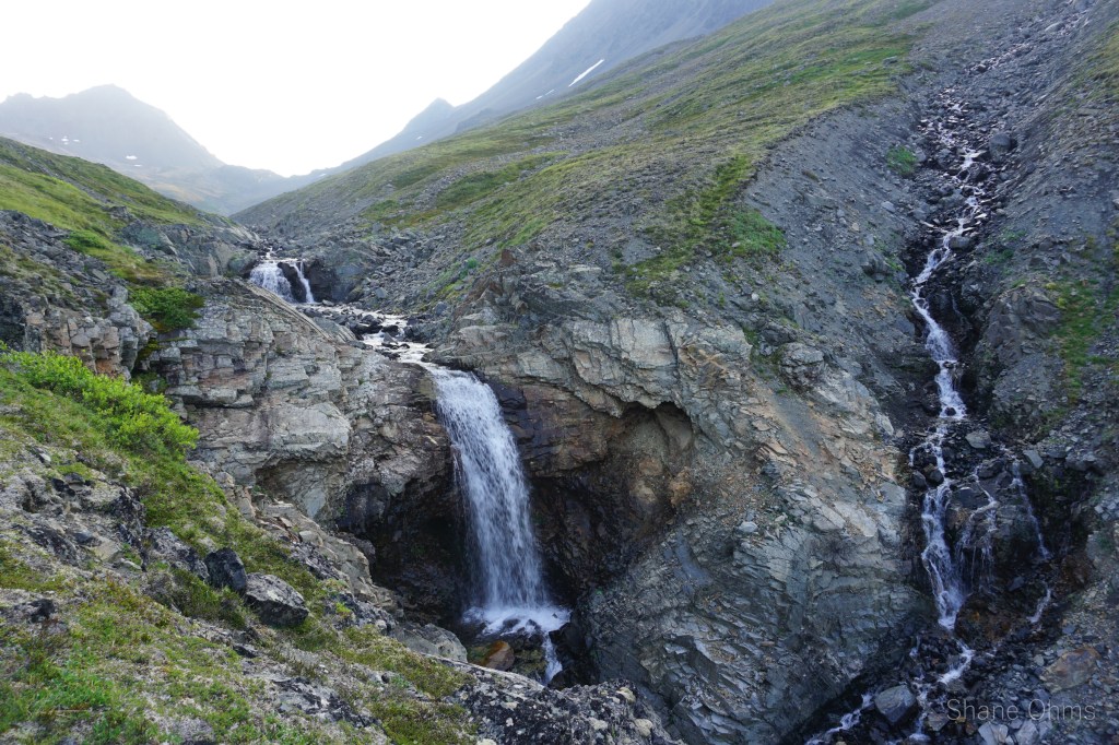
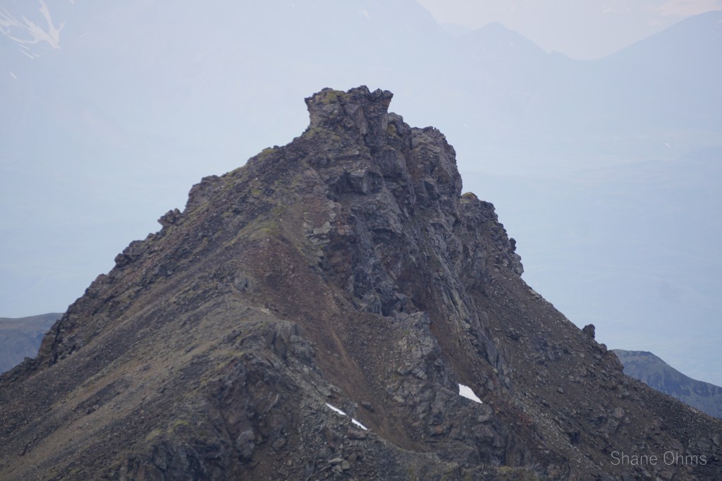
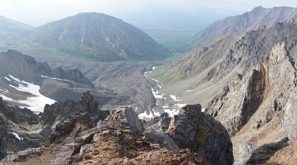
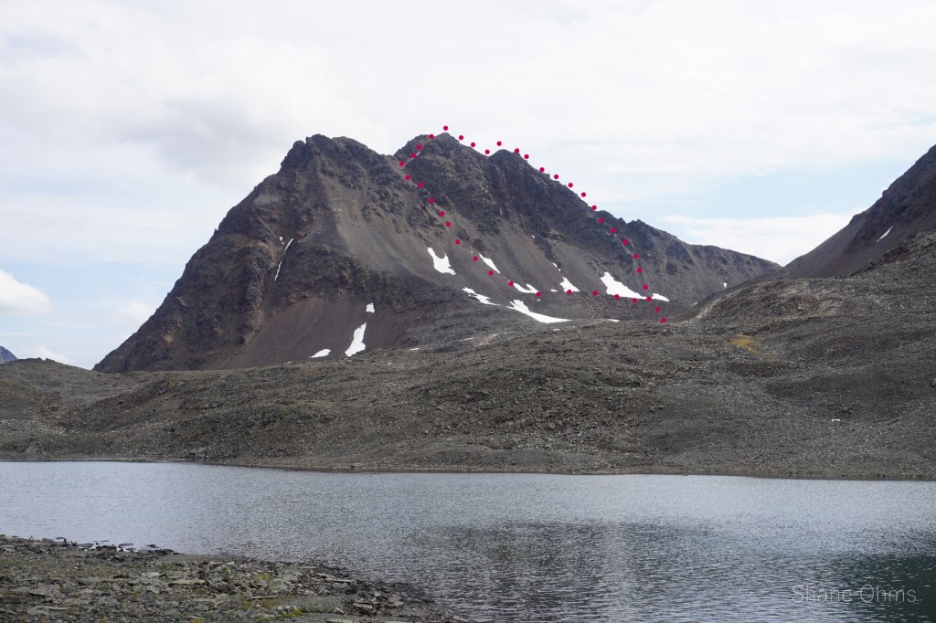
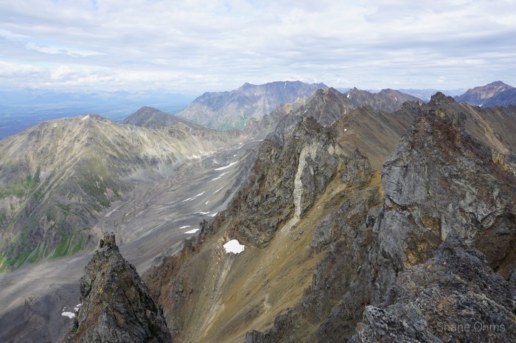
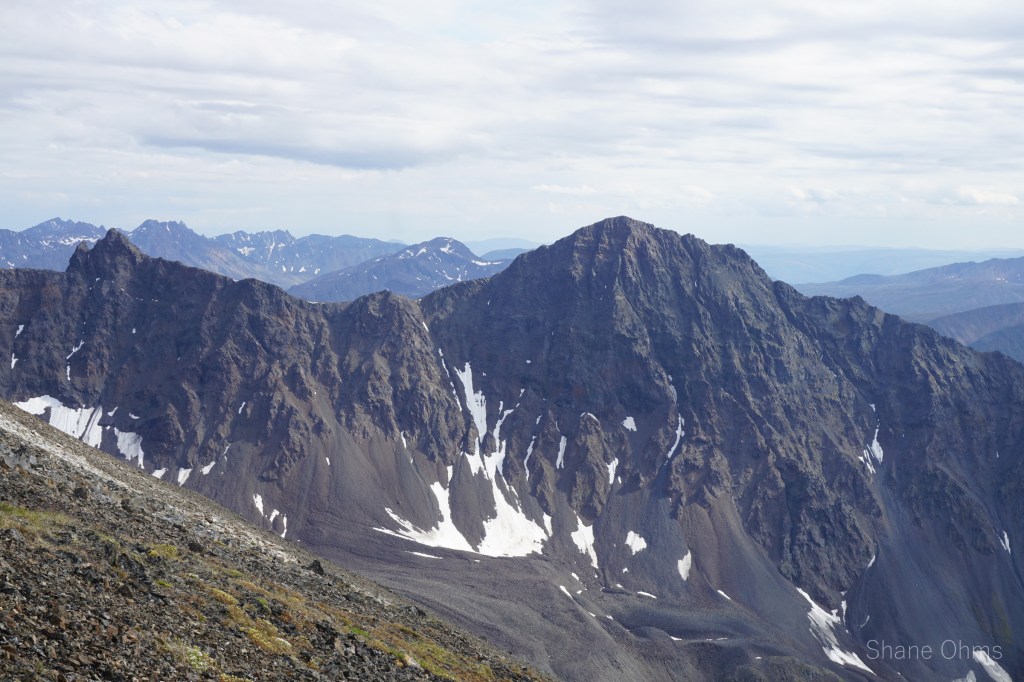
The Southwest ridge of Rusty Peak was pretty fun scrambling too. No more of a comment is needed. Rusty Peak would be the highest point of the whole weekend for us, and atop it, we found a summit carin with a rusty little capsule marking….. the August 1974 ascent by Alex Buchannon and Dave Connston! 47 years the summit sat between our two parties. We’d both climbed via the same ridge, so most notably from their registry was the use of the word “glacier” to describe the bowl in which the caribou sat. Standing up there after almost 50 years I can say this; you’d have to be pretty hardpressed to find any ice down there. All rock now. Sad. I transcribed their entry and added it to the registrar I’d brought for this peak. Our descent would be into the “glacier” valley, spooking caribou, and filling water from a little tarn.

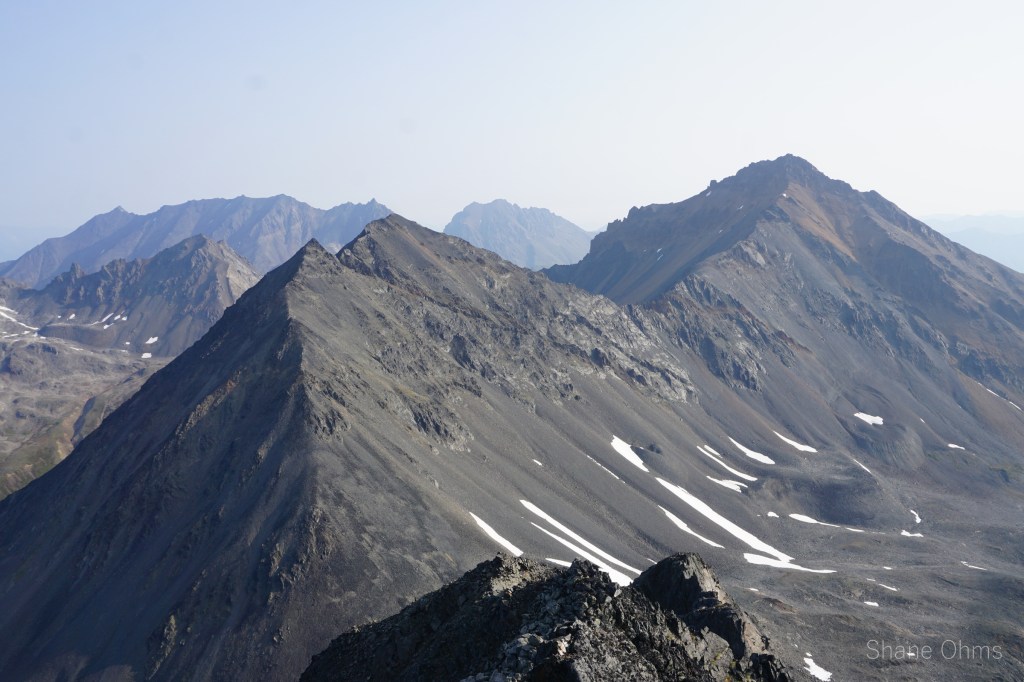
Onto Radon, simply via the south ridge. At the top, no sign of prior ascent was found.
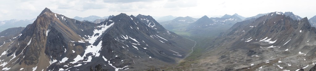
From Radon Peak we decided to detour and hit two points (not big enough to be peaks) along the ridge to Astatine Peak.
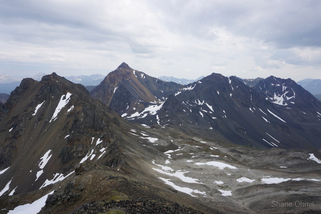
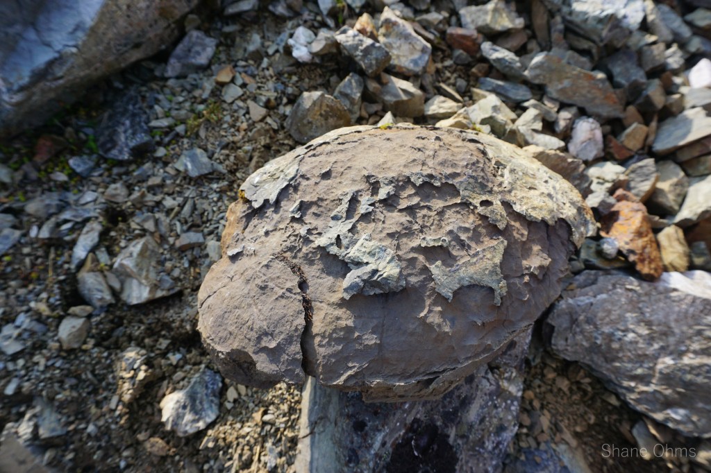
And finally our ridgewalking loop ended with us on Astatine Peak and looking down on our campsite. Again, no prior ascent signs found. On the descent of Astatine I found a clam shell fossil, maybe I’m not so crazy supposing that rock from before was a turtle fossil.
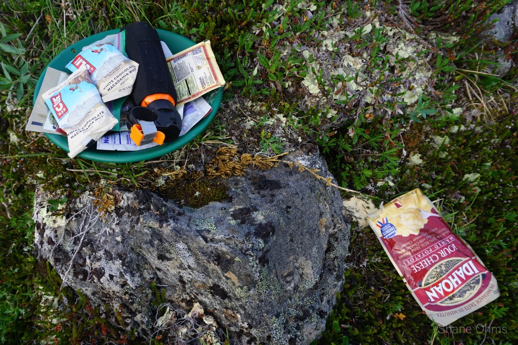
Back at camp, I discovered a bandit had broken into my mashed potato mix. The lucky S.O.B, was probably the first groundsquirel in many generations to have eaten human food. I did my best to imagine what it must’ve been like for him. He didn’t get much before the dry mix dried him up and he had to stop eating on his own accord. He probably then ran home (after a drink for much needed water) and starting telling his friends about this amazing sensory overload experience he’d just had. His friends probably thought he was crazy.
Sunday, July 18th 2021
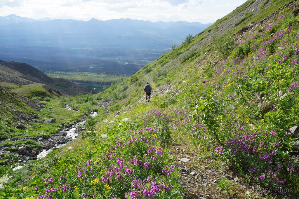
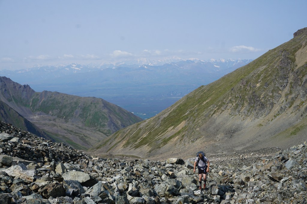
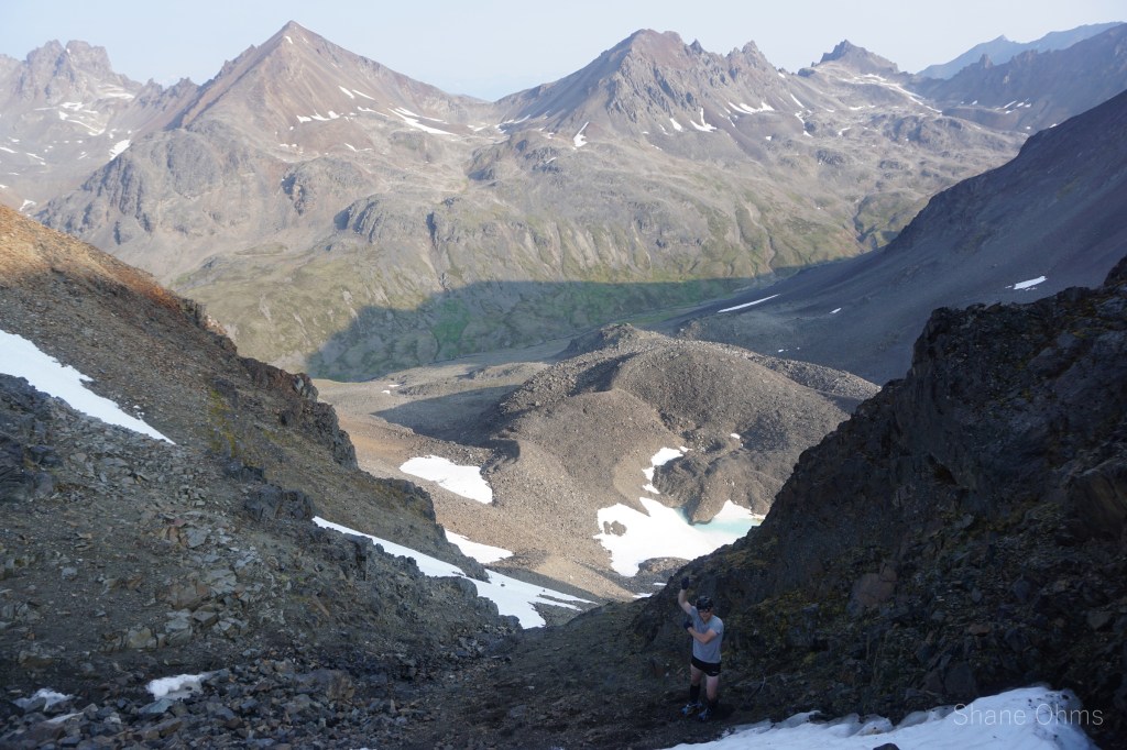
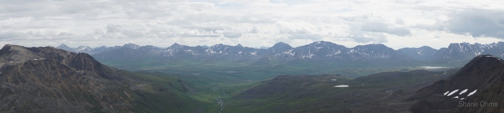
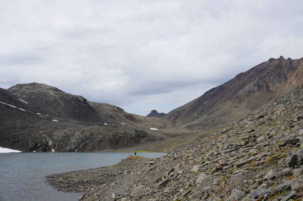
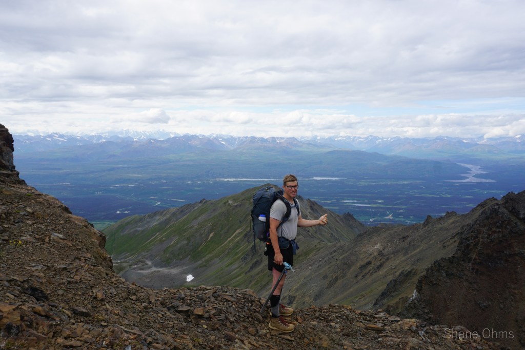
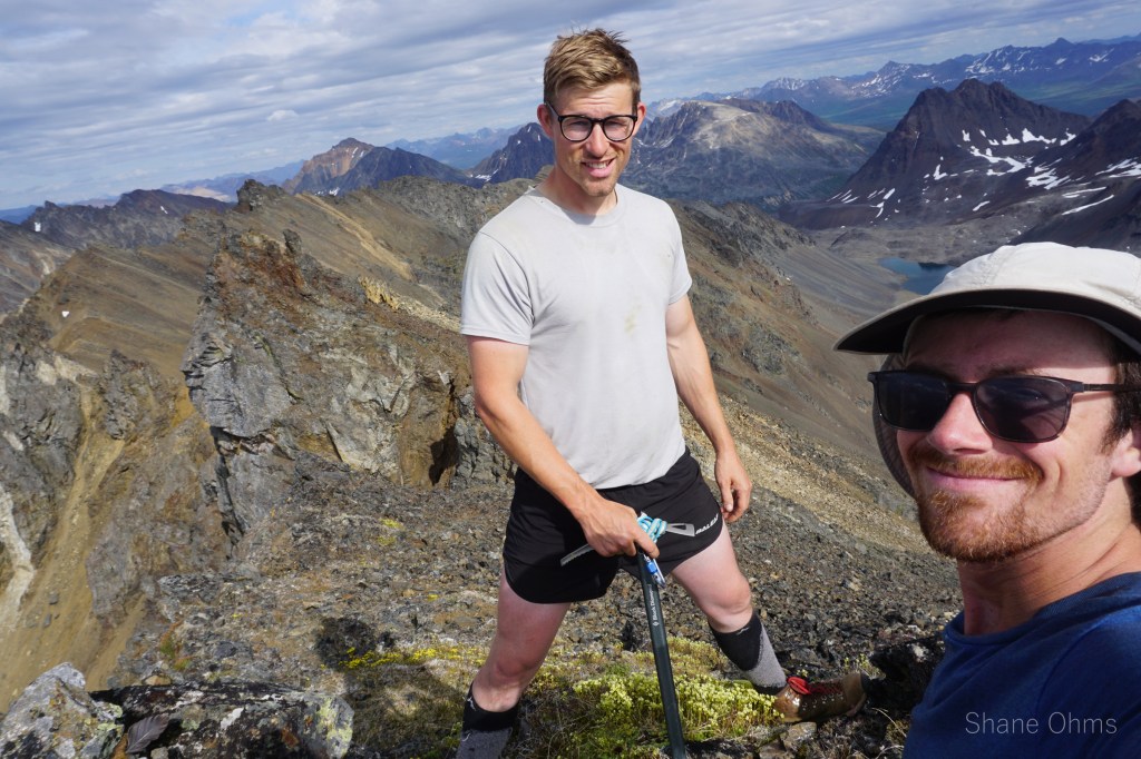
Sunday morning is the ‘get out’ day. And not wishing to repeat the bushwhacking from day 1, we decided to go around the south side of Bismuth (to the prominent lake) instead of popping the pass betwixt Bismuth and Polonium (as originally planned). Possibaly we would exit as I had on the Benench’iltledi Peak trip, but ultimately we’d land ourselves on an old mining road due west of Bismuth and south of Antimony Peak. On account of the detour for the lake, I couldn’t help but notice how close Livermorium Peak was. And I couldn’t help but notice my legs still felt pretty good this morning. So I went for it solo, Rowland agreeing to wait for me at the lake.
I stashed my pack somewhere down low and went unweighted for the SW ridge of Livermorium Peak. It went well enough, but for the descent I chose a west face gully which I had needless been skeptical of when picking my ascent route: It scree’d great!

Back at the lake with Rowland, we dropped down from the pass just enough to sidehill into the south facing bowl located west of Bismuth Peak. I believe Rowland had pulled up some satellite imagery on his phone and so our exit was to be for that aforementioned old mine road. So we lugged the packs up to the ridgeline connecting Bismuth to Antimony. From here we ditched packs and made for the summit of Bismuth Peak.
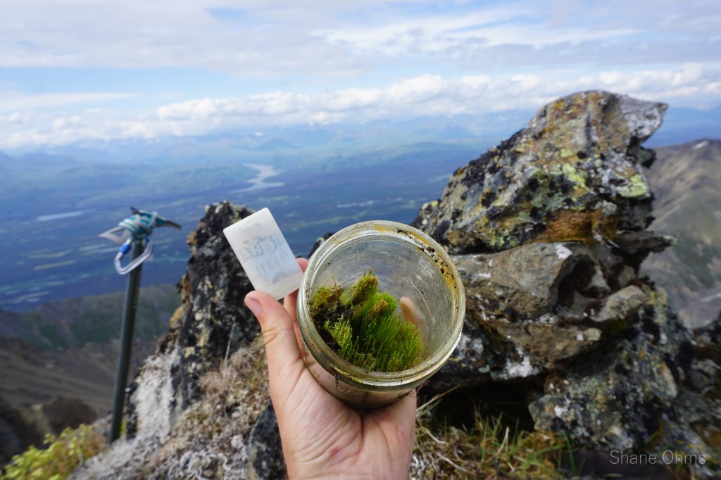
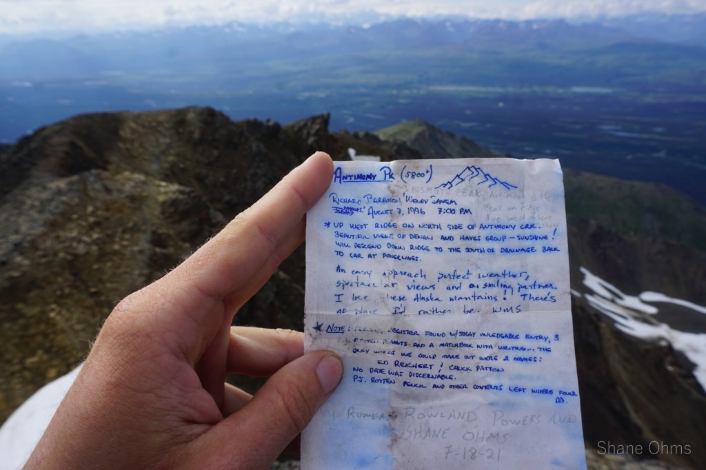

At the top, we found the oddest summit registrar(s). I wouldn’t have been able to tell if not for the note, but a matchbox, pencil, and peanuts in a glass jar, growing life other than peanuts. The note is of an August 7th 1996 Richard Baranow and Wendy Sanem finding the odd jar left by an earlier summit party containing names Ed Reichert and Chuck Patton (exact first ascent date unknown). Richard and Wendy’s registrar calls this peak Antimony Peak. I call this peak Bismuth Peak because Antimony Peak is already the name of the surveyor point printed on topo maps and located due west. I suppose “Antimony Propper” might be the name that sticks (in similar style to Turnagain Pass’ Tincan Peak and Tincan Propper), but in the halls of my temporal memory, it will be Bismuth Peak.
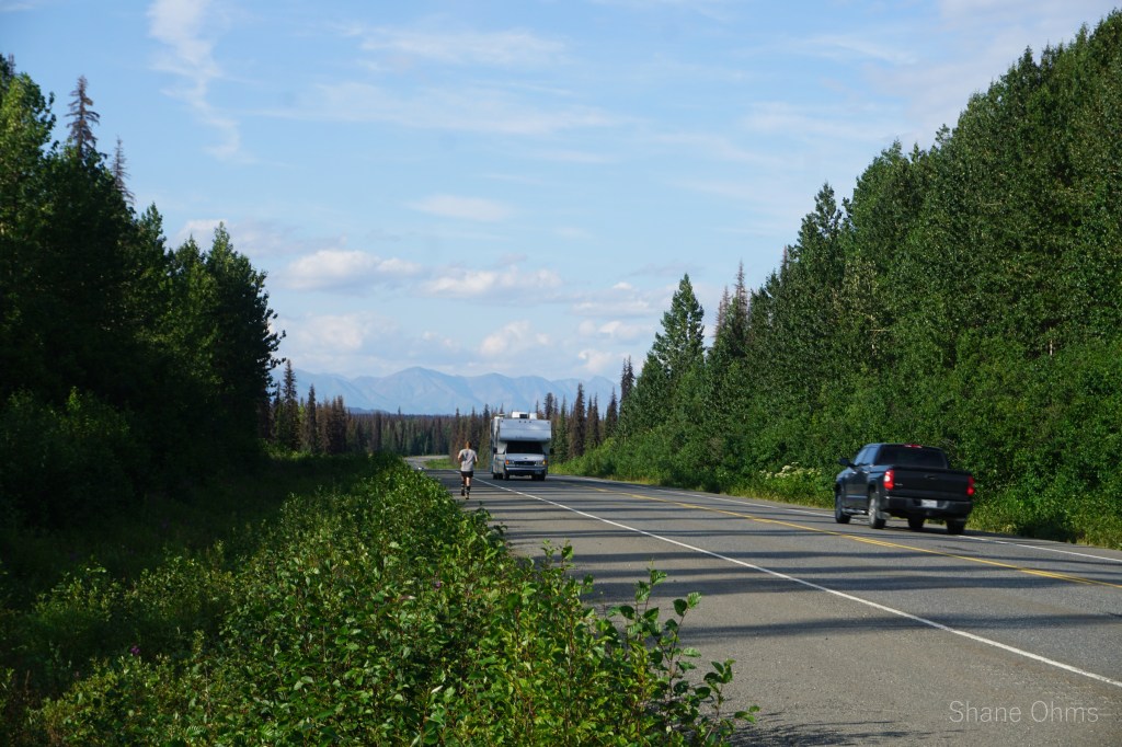
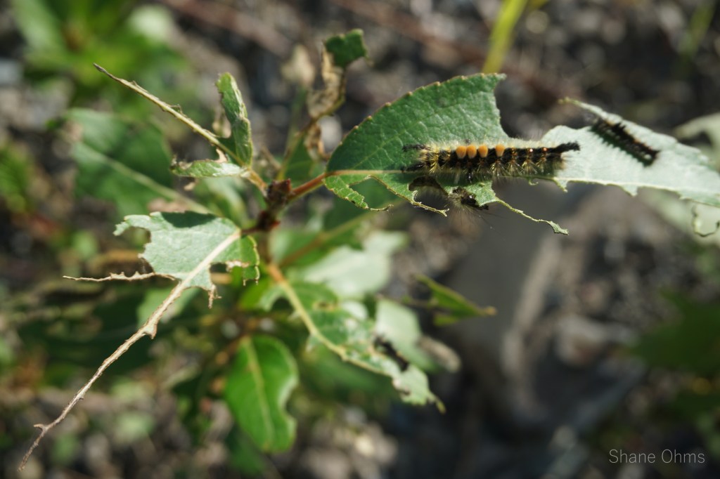
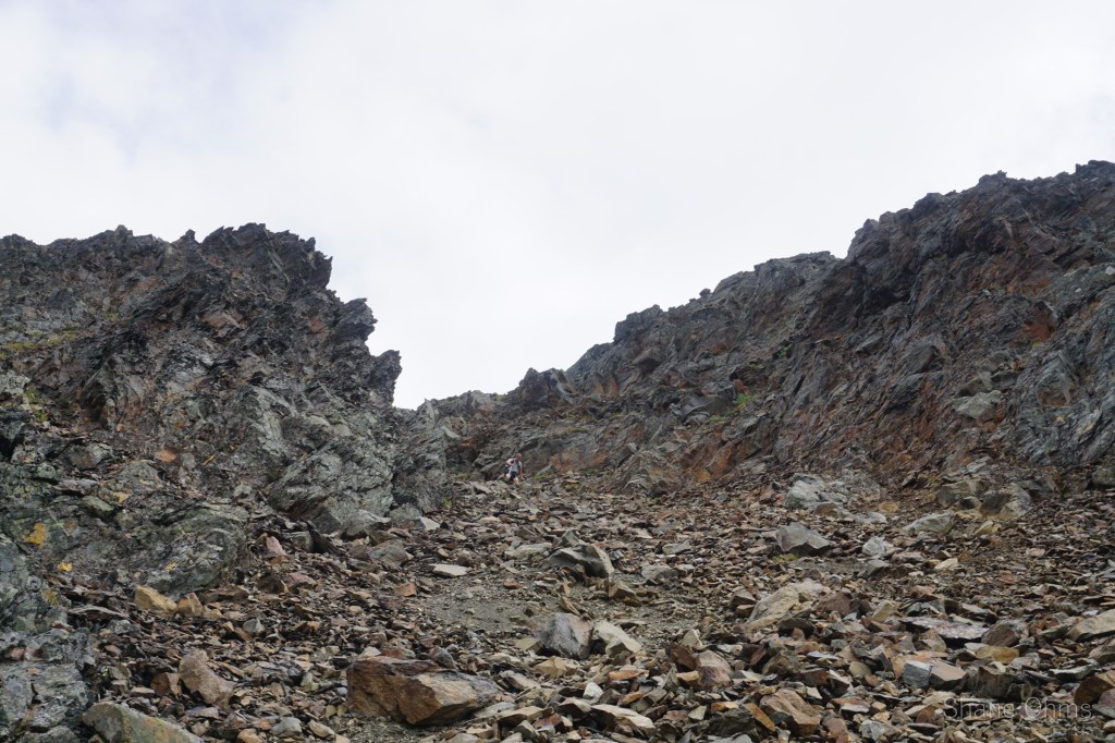
Back at our packs we dropped off the ridge via the one and only logical gully, which brought us into the bowl south of Antimony Peak. From afar the top of this gully might look questionable, but it is ok. With our overnight packs, we just took it slow. Once out of the gully, we had a brief walk over a rockfield (I found a plant fossil in here) and then we were homefree on an old mine trail. No worries, other than being dry on water on a hot hot hot summer day. Back at the road, Rowland attempted to hitchhike but ended up jogging the whole 2 miles back to get the car. I took pictures of bugs harvesting from the roadside fireweed.